Ukrainian air monitoring reports one Geran-3 jet-powered drone over Vinnytsia
What happened
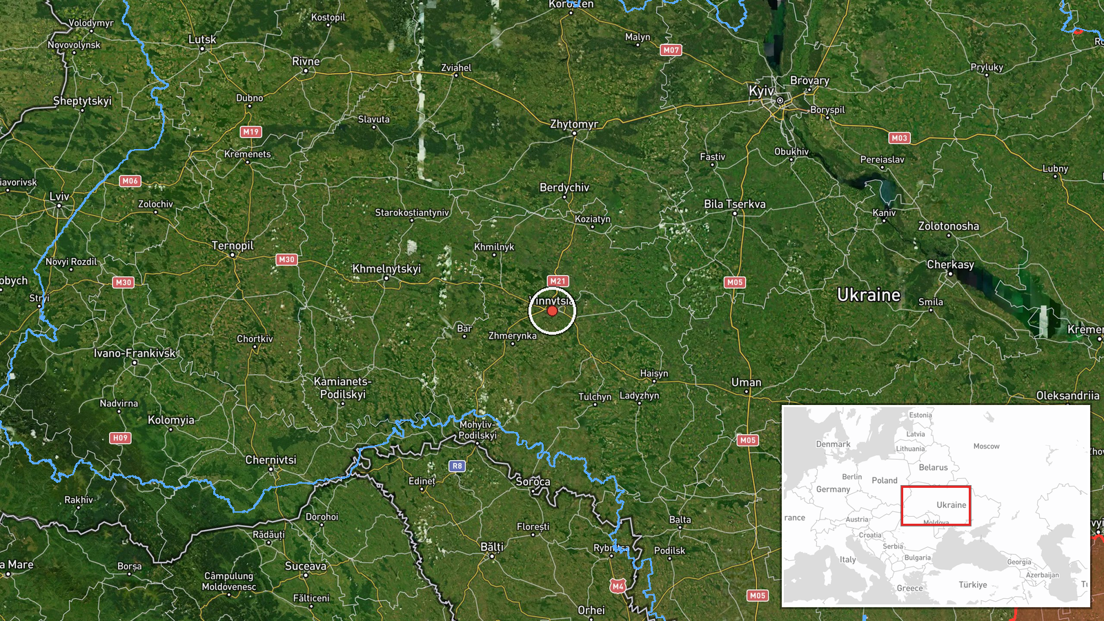
Ukraine's Air Force monitoring channel on Telegram, @kpszsu, reported on 16 October 2026 at 14:31 UTC that a single Russian jet-powered Shahed, designated Geran-3, was over Vinnytsia. The original post was brief, a single Ukrainian-language line stating that a jet-type unmanned aerial vehicle was over Vinnytsia. It gave no altitude, direction, or impact details. The location was placed at the city of Vinnytsia in west-central Ukraine, and the event is classed as a drone transit rather than a strike. The report is one of several air-monitoring updates from the same day tracking Geran-3 drones across the Vinnytsia region. Because the post names no damage and no casualties, nothing in this entry describes harm on the ground.
Context and assessment
Vinnytsia sits on the Southern Bug in west-central Ukraine, a regional administrative centre whose road, rail and energy links make it a recurring point on the routes of long-range drones heading toward western Ukraine. The same-day sequence in the related events suggests a pattern rather than a single stray track. At 04:14 UTC the monitoring feed recorded two or more Geran-3 drones over the oblast. At 09:18 one drone was reported heading toward the city. At 10:18 and 12:28 single drones were logged moving from Odesa Oblast toward Vinnytsia Oblast, a route consistent with launches from the south crossing central Ukraine. At 14:32, about a minute after the entry under review, two or more drones were reported passing through the oblast heading west. Taken together, the sequence points to repeated overflight across the region during one day. Operationally, this may indicate that the drones are routed through or past Vinnytsia toward targets further west, or that they are being tracked as they transit. The data does not establish an intended target, and transit reports of this kind do not by themselves confirm a strike.
Sources and confidence
Only one source is recorded: the Telegram channel @kpszsu, the Ukrainian Air Force channel used for air-threat monitoring updates. No independent outlet, official statement, or second channel is attached to this entry, so cross-confirmation is absent. The confidence score of 8.0 reflects an official-style monitoring feed with a consistent pattern across related updates, while the single-source status and terse wording keep it below the top of the scale. Confidence would rise with a second monitoring channel, a regional military administration statement, or tracking data for the same drones. It would fall if a correction appeared or if later updates contradicted the flight path.
Location
The location is recorded at settlement level, placed on the city of Vinnytsia at roughly 49.23 N, 28.47 E, with location confidence rated high. The city lies in west-central Ukraine on the Southern Bug river in the historic Podolia area. The coordinates reflect the settlement centre rather than any specific facility, and the report does not name an intercept point or sub-area.
Related events nearby
- Ukrainian air monitoring: 1 Russian Shahed-type drone passing Vinnytsia Oblast, heading west; 1 Russian Shahed2026-10-16 14:40 UTC · Drone Transit · Vinnytsia Oblast, Ukraine
- Ukrainian air monitoring: 2+ Russian jet-powered Shahed (Geran-3) drones passing Vinnytsia Oblast, heading wes2026-10-16 14:32 UTC · Drone Transit · Vinnytsia Oblast, Ukraine
- Ukrainian air monitoring: 1 Russian jet-powered Shahed (Geran-3) drone from Odesa Oblast toward Vinnytsia Obla2026-10-16 12:28 UTC · Drone Transit · Vinnytsia Oblast, Ukraine
- Ukrainian air monitoring: 1 Russian jet-powered Shahed (Geran-3) drone from Odesa Oblast toward Vinnytsia Obla2026-10-16 10:18 UTC · Drone Transit · Vinnytsia Oblast, Ukraine
- Ukrainian air monitoring: 1 Russian jet-powered Shahed (Geran-3) drone heading toward Vinnytsia.2026-10-16 09:18 UTC · Drone Transit · Vinnytsia, Ukraine
▶ View this event on the live map

Intel Mapper aggregates open-source reports from monitored Telegram and X channels, geolocates them, cross-checks duplicates across sources and assigns a confidence score. Entries are updated as new confirmations arrive. Read how we verify events.