Single Russian Shahed-type drone reported passing Andrushivka, Zhytomyr Oblast, heading west
What happened
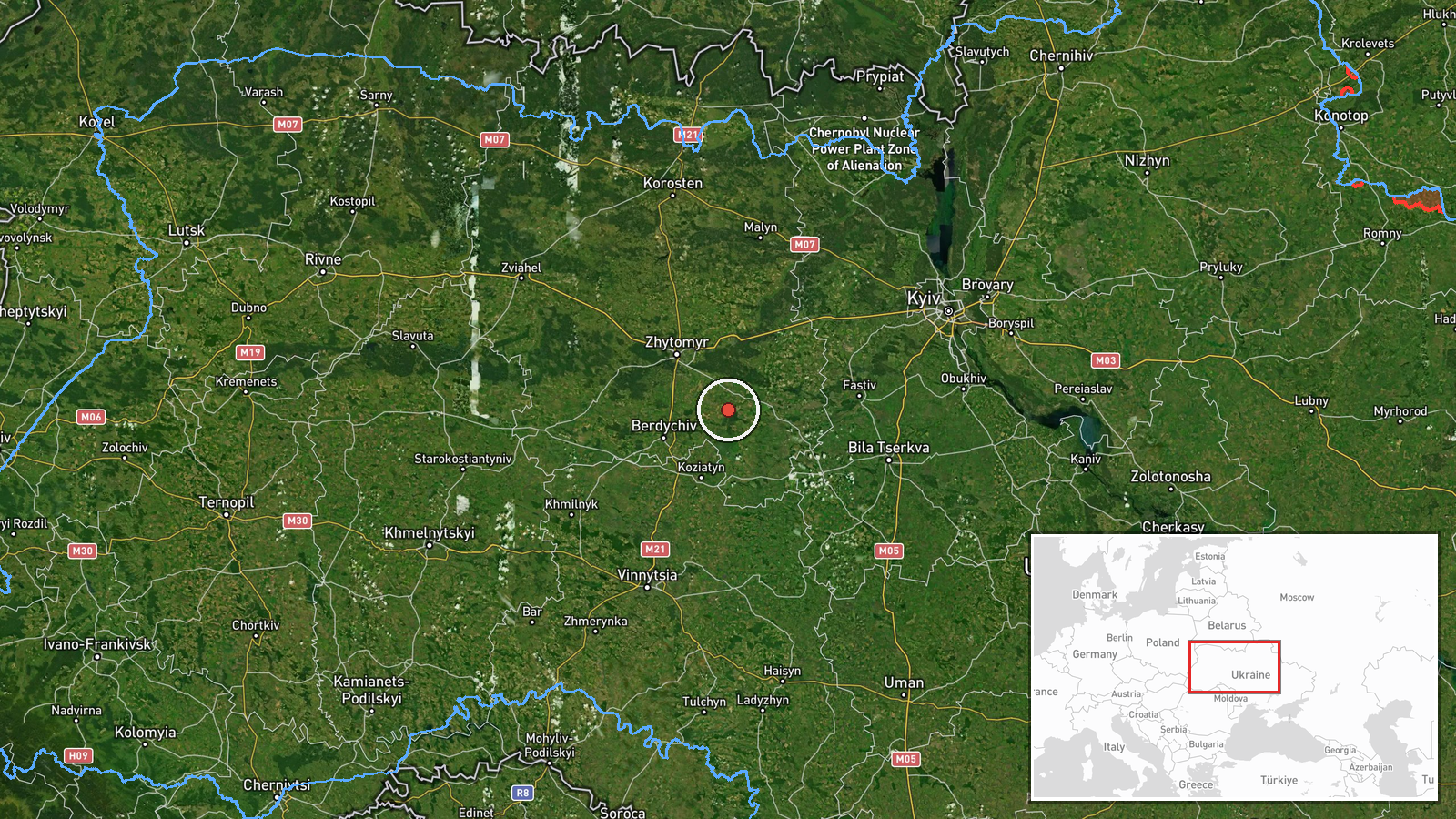
Ukrainian air monitoring reported on Telegram that one Russian Shahed-type drone was passing Andrushivka in Zhytomyr Oblast on 16 October 2026 at about 14:40 UTC, travelling on a western course. The original post, written in Ukrainian, refers to strike UAVs operating in the Korostyshiv and Andrushivka area, with the heading described as western. The report does not describe any impact, damage, or casualties, and it does not say how the track was confirmed. The event is logged as a drone transit rather than a strike. The attribution to Russia rests on the drone type, which matches the Shahed family used by Russian forces.
Context and assessment
Andrushivka lies close to Korostyshiv, a town in Zhytomyr Oblast on the road and rail corridor linking the Kyiv region with western Ukraine. That corridor has been crossed repeatedly by long-range drones, so a single track here fits a broader pattern rather than an isolated sighting. The related events show a sustained sequence of single-drone reports across the oblast. On 15 October, two jet-powered Geran-3 variants were reported heading toward Kozyatyn, one from Zhytomyr Oblast and one with no origin noted. On 16 October, further single Shahed-type drones were logged moving from Kyiv Oblast toward Zhytomyr Oblast, from Zhytomyr Oblast toward Berdychiv, and from Zhytomyr Oblast toward Kozyatyn. Operationally, a steady stream of individual drones along similar tracks may indicate route probing, reconnaissance, or drones dispersed ahead of or behind larger raids. Single-drone reports alone cannot establish intent, and the data does not show whether these tracks form one coordinated wave.
Sources and confidence
The event rests on a single Telegram channel, @kpszsu, which is widely associated with the Ukrainian Air Force, and no independent outlet is listed. The confidence score of 8.0 reflects an official-style air monitoring post with a precise settlement reference, but it is held below the top of the scale because there is no second source and the post does not describe how the track was verified. Confidence would rise with a corroborating report from another monitoring channel, a regional military administration, or a radar-based track update. It would fall if the drone were later reclassified, or if a correction followed.
Location
The coordinates are placed at settlement precision on Andrushivka, a small community in Zhytomyr Oblast near Korostyshiv, with high location confidence. The point marks the settlement, not the drone's exact track or altitude. The area lies in the Polissia-forest transition zone, with mixed woodland, farmland, and river valleys associated with the Teteriv basin. The terrain is relatively open to low-altitude flight, which helps explain why drones are often tracked along such corridors.
Related events nearby
- Ukrainian air monitoring: 1 Russian Shahed-type drone from Zhytomyr Oblast toward Berdychiv.2026-10-16 04:02 UTC · Drone Transit · Berdychiv, Ukraine
- Ukrainian air monitoring: 1 Russian Shahed-type drone from Zhytomyr Oblast toward Kozyatyn.2026-10-16 14:33 UTC · Drone Transit · Kozyatyn, Ukraine
- Ukrainian air monitoring: 1 Russian jet-powered Shahed (Geran-3) drone heading toward Kozyatyn.2026-10-15 18:12 UTC · Drone Transit · Kozyatyn, Ukraine
- Ukrainian air monitoring: 1 Russian jet-powered Shahed (Geran-3) drone from Zhytomyr Oblast toward Kozyatyn.2026-10-15 17:51 UTC · Drone Transit · Kozyatyn, Ukraine
- Ukrainian air monitoring: 1 Russian Shahed-type drone from Kyiv Oblast toward Zhytomyr Oblast.2026-10-16 10:26 UTC · Drone Transit · Zhytomyr Oblast, Ukraine
▶ View this event on the live map

Intel Mapper aggregates open-source reports from monitored Telegram and X channels, geolocates them, cross-checks duplicates across sources and assigns a confidence score. Entries are updated as new confirmations arrive. Read how we verify events.