Ukrainian air monitoring reports 2+ jet-powered drones moving northwest near Kharkiv Oblast
What happened
Ukraine's air monitoring Telegram channel @kpszsu reported on 17 October 2026 at 11:40 UTC that two or more jet-powered unmanned aerial vehicles were moving along the boundary between Dnipropetrovsk and Kharkiv oblasts, heading northwest. The original post uses the phrase 'реактивні БпЛА' and does not name a model. The event summary attributes the drones to the Russian Geran-3 type, a label the post itself does not appear to use. The report gives no information on impacts, casualties, or interceptions. Because it comes from a single channel and describes the flight path only in broad terms, it should be read as a monitoring report rather than a confirmed location or outcome.
Context and assessment
Kharkiv has been a recurring target area in the recent data. On 16 October, two Banderol mini cruise missiles were logged heading toward Kharkiv at 18:35 and 19:17 UTC. On 17 October, a single Shahed-type drone was logged heading toward the city at 06:48 UTC, another from northern Kharkiv Oblast toward the city at 07:38, and a third toward Kharkiv at 08:56. The jet-powered group at 11:40 fits this sequence of short-interval alerts, which mixes cruise missiles and one-way attack drones aimed at or past the city. Jet-powered drones are faster than piston-engine Shaheds, so their appearance can shorten the warning time available to air defenders. A northwest heading along the Dnipropetrovsk border could indicate a route that avoids Kharkiv's air defense coverage, a reconnaissance pass, or a different target farther along the track. The data does not show which of these applies, and the heading alone does not establish a destination. Follow-up reports of impacts or changes in heading would help clarify intent.
Sources and confidence
The event rests on a single Telegram channel, @kpszsu, which is the Ukrainian Air Force's official monitoring feed and is routinely used for early air-alert reporting. No second outlet has confirmed the sighting, and the source count is one. The confidence score of 8.0 reflects the channel's established role and the specificity of the post, offset by the lack of independent corroboration and the general track description. The event is not marked as corrected. Confidence would rise with corroboration from regional authorities, a follow-up alert naming the drone type, or reports of impacts or interceptions in the area. It would fall if later updates contradict the heading or if the channel issues a correction.
Location
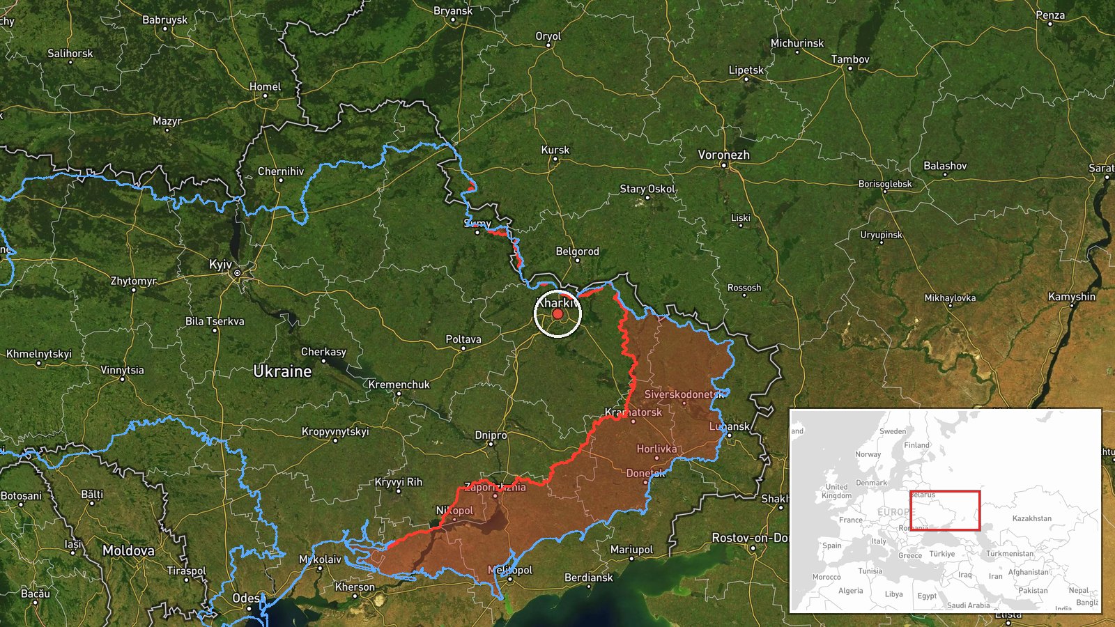
The location is region-level rather than a precise point. The report describes a corridor along the Dnipropetrovsk-Kharkiv Oblast boundary, but the supplied coordinates (49.99, 36.23) sit at the Kharkiv city reference point, so the pin should be read as approximate. Location confidence is low. The terrain is flat steppe on the northeastern Ukrainian plain, with the Siverskyi Donets and Oskil river systems lying to the east and north-east.
Related events nearby
- Ukrainian air monitoring: 1 Russian Shahed-type drone heading toward Kharkiv.2026-10-17 08:56 UTC · Drone Transit · Kharkiv, Ukraine
- Ukrainian air monitoring: 1 Russian Shahed-type drone from northern Kharkiv Oblast toward Kharkiv.2026-10-17 07:38 UTC · Drone Transit · Kharkiv, Ukraine
- Ukrainian air monitoring: 1 Russian Shahed-type drone heading toward Kharkiv.2026-10-17 06:48 UTC · Drone Transit · Kharkiv, Ukraine
- Ukrainian air monitoring: 1 Russian Banderol mini cruise missile heading toward Kharkiv.2026-10-16 19:17 UTC · Cruise Missile · Kharkiv, Ukraine
- Ukrainian air monitoring: 1 Russian Banderol mini cruise missile heading toward Kharkiv.2026-10-16 18:35 UTC · Cruise Missile · Kharkiv, Ukraine
▶ View this event on the live map

Intel Mapper aggregates open-source reports from monitored Telegram and X channels, geolocates them, cross-checks duplicates across sources and assigns a confidence score. Entries are updated as new confirmations arrive. Read how we verify events.