Ukrainian Air Force reports one Russian Banderol cruise missile tracked toward Nedryhailiv
What happened
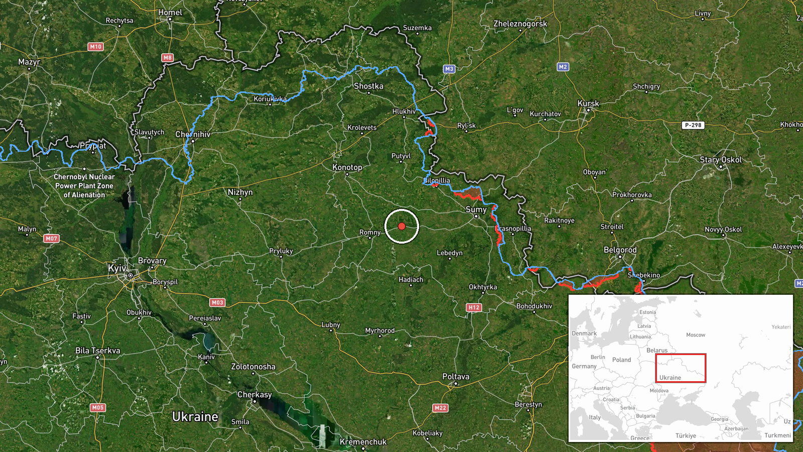
Ukraine's Air Force, posting on its Telegram channel @kpszsu, reported at 11:57 UTC on 17 October 2026 that one Russian Banderol mini cruise missile was heading toward Nedryhailiv. The original Ukrainian-language post names the target as 'Nedryhailiv/Romny,' so the warning may have covered a track associated with either settlement, while the structured record places the event at Nedryhailiv in Sumy Oblast. The message is an air monitoring alert rather than a report of impact. It does not describe damage, casualties, or interception. It followed a warning about a missile heading toward Konotop by about four minutes and came roughly forty minutes after a missile was reported passing through Sumy Oblast heading southwest.
Context and assessment
Nedryhailiv is a small town in Sumy Oblast in northeastern Ukraine, close to the Russian border and to the Poltava Oblast boundary. Sumy Oblast has faced repeated cross-border fighting and strikes since 2022, so alerts for settlements in this area recur. The related events show a sequence on the same day. Shahed-type drones were reported heading toward Sumy at 04:26, 06:50 and 09:47 UTC, and a Banderol missile was reported passing Sumy Oblast at 11:17, then alerts for Konotop at 11:53 and Nedryhailiv at 11:57. Taken together, the pattern suggests several small weapons moving through the oblast over several hours along a corridor that runs from Sumy toward Konotop and Nedryhailiv. This could reflect multiple aimpoints, route probing, or simply the way air monitoring tracks a moving object, and the record alone cannot establish intent. Banderol is generally described in open reporting as a small, low-flying cruise missile suited to limited strikes on infrastructure or logistics. That characterization is widely repeated but is not verified by this record.
Sources and confidence
The event rests on one channel, the official Telegram account of the Ukrainian Air Force's monitoring service, which is listed as the only source. No independent cross-confirmation appears in the dataset, so the source count is one. The confidence score of 8.0 reflects the channel's consistent use across the related alerts earlier the same day and its role as an official military monitoring feed. It is not higher because the report is a real-time tracking notice from a single origin and such notices are sometimes updated or reclassified. Confidence would rise with independent corroboration from regional military administration statements, reports of impact, or open-source flight tracking. It would fall with a correction, a retraction, or a change in the tracked target.
Location
The coordinates are given at settlement precision and the location confidence is recorded as high. The point corresponds to the town of Nedryhailiv rather than a specific facility, so no facility-level target is established. Nedryhailiv lies in Sumy Oblast in flat, agricultural terrain typical of the Sumy and Poltava border zone. The Romny and Konotop road corridors run through the broader area, which is relevant to the alert sequence.
Related events nearby
- Ukrainian air monitoring: 1 Russian Banderol mini cruise missile heading toward Konotop.2026-10-17 11:53 UTC · Cruise Missile · Konotop, Ukraine
- Ukrainian air monitoring: 1 Russian Banderol mini cruise missile passing Sumy Oblast, heading southwest.2026-10-17 11:17 UTC · Cruise Missile · Sumy Oblast, Ukraine
- Ukrainian air monitoring: 1 Russian Shahed-type drone heading toward Sumy.2026-10-17 09:47 UTC · Drone Transit · Sumy, Ukraine
- Ukrainian air monitoring: 1 Russian Shahed-type drone heading toward Sumy.2026-10-17 06:50 UTC · Drone Transit · Sumy, Ukraine
- Ukrainian air monitoring: 1 Russian Shahed-type drone heading toward Sumy.2026-10-17 04:26 UTC · Drone Transit · Sumy, Ukraine
▶ View this event on the live map

Intel Mapper aggregates open-source reports from monitored Telegram and X channels, geolocates them, cross-checks duplicates across sources and assigns a confidence score. Entries are updated as new confirmations arrive. Read how we verify events.