Single Shahed-type drone reported transiting Holovanivsk district, Kirovohrad Oblast, heading northwest
What happened
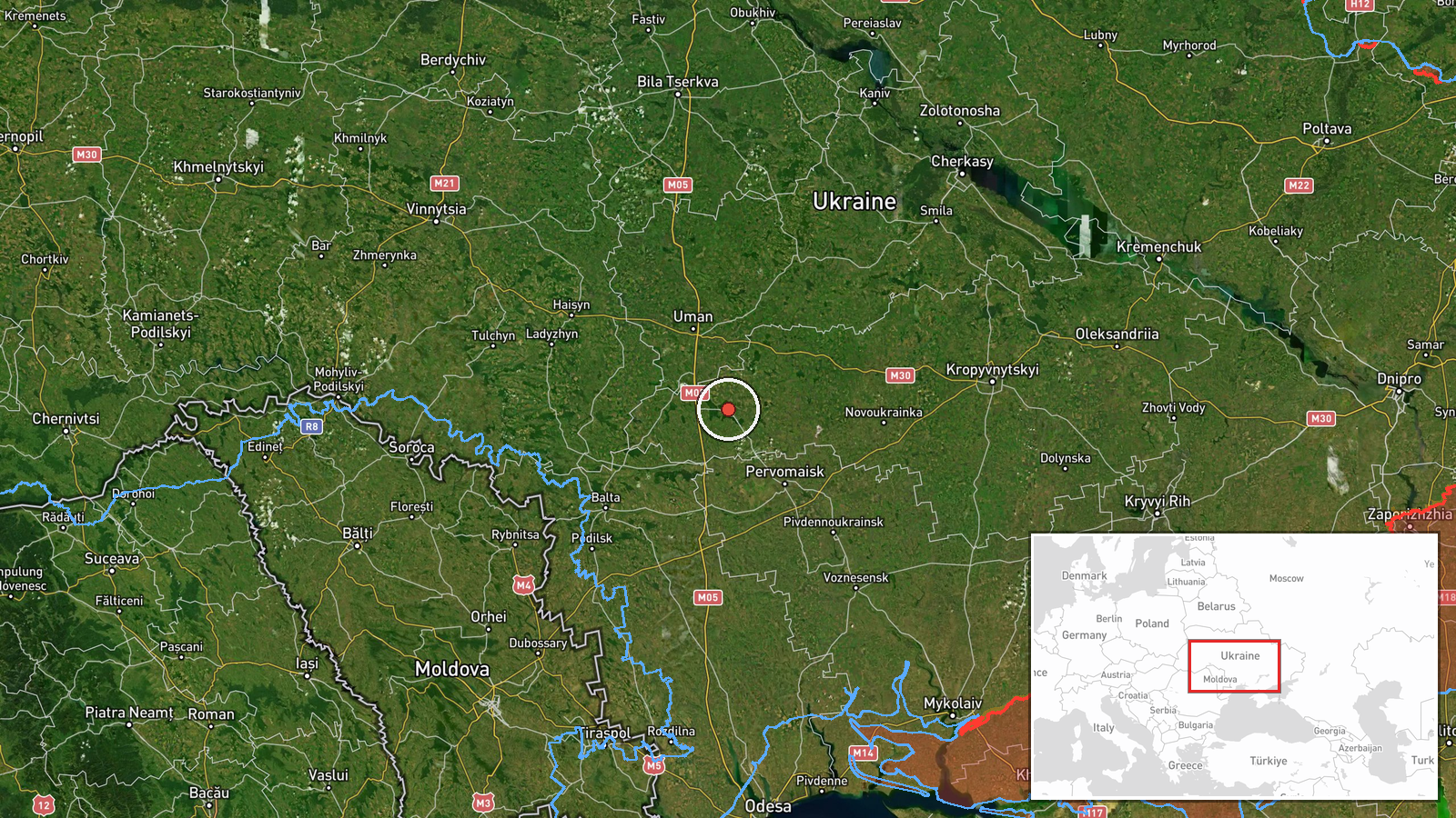
Ukrainian air monitoring channel @kpszsu reported on 17 October 2026 at about 14:18 UTC that one Russian Shahed-type strike drone was passing through Holovanivsk district in Kirovohrad Oblast, moving in a northwesterly direction. The original Ukrainian-language post describes it as a strike UAV (ударний БпЛА) and gives only the district and heading, with no reported impact, casualties, or damage. The report is a transit notice rather than a strike report. Because the post names no settlement, the event is placed at a district-level point. The wording of the source is terse, and the drone's type is given only as Shahed-type, without a specific variant in this report.
Context and assessment
Holovanivsk district sits in central-southern Kirovohrad Oblast, a region that Ukrainian monitoring channels frequently list as a corridor for long-range drones moving between the south and centre of the country and toward western Ukraine. The related events in this data set show a sustained pattern over roughly 24 hours. A drone was logged passing Tyshkivka heading west on 16 October, and on 17 October several more were logged in the Uman and Teplyk areas, including at least one jet-powered Geran-3 variant and one entering from Vinnytsia Oblast. Taken together, these reports suggest multiple drones crossing central Ukraine on overlapping routes, which is consistent with a broader pattern of transit traffic rather than a single targeted approach. A northwest heading through Holovanivsk is compatible with a route toward the Vinnytsia or Khmelnytskyi area, but a transit report alone does not confirm the intended target. Such reports are mainly useful for warning and for tracking how the drones are routed, rather than for establishing what they were aimed at.
Sources and confidence
The event rests on a single Telegram channel, @kpszsu, which carries Ukrainian air monitoring alerts. No second outlet in the data set independently reports this specific transit. The related events come from the same type of alert channel, so they add pattern context but do not corroborate this particular track. The confidence score of 8.0 reflects that the channel is an official monitoring source with a consistent format, but it is a single source and the report contains no imagery, coordinates, or follow-up. Confidence would rise with a second independent monitoring source, a regional military administration statement, or a sighting that places the drone at a named settlement. It would fall if later reports contradicted the heading or if the track proved to be a different aircraft type.
Location
The coordinates correspond to the centre of Holovanivsk district rather than a specific settlement. The original post gives no village or town, so the point reflects the district centroid at settlement-level precision with high location confidence for the district itself. The district lies in Kirovohrad Oblast in central Ukraine, an area of agricultural plains and river valleys. Major nearby features include the Southern Bug and the wider rail and road networks that run north and south through the oblast. Drones in transit can cross many kilometres within a single report, so the mapped point should be read as an approximate area rather than a precise track position.
Related events nearby
- Ukrainian air monitoring: 1 Russian Shahed-type drone passing Uman district, heading north.2026-10-17 08:07 UTC · Drone Transit · Uman district, Ukraine
- Ukrainian air monitoring: 1 Russian jet-powered Shahed (Geran-3) drone passing Uman district, heading northwes2026-10-17 07:50 UTC · Drone Transit · Uman district, Ukraine
- Ukrainian air monitoring: 1 Russian jet-powered Shahed (Geran-3) drone heading toward Teplyk.2026-10-17 10:08 UTC · Drone Transit · Teplyk, Ukraine
- Ukrainian air monitoring: 1 Russian jet-powered Shahed (Geran-3) drone from Vinnytsia Oblast toward Teplyk.2026-10-17 08:04 UTC · Drone Transit · Teplyk, Ukraine
- Ukrainian air monitoring: 1 Russian Shahed-type drone from Vinnytsia Oblast toward Bershad.2026-10-17 13:21 UTC · Drone Transit · Bershad, Ukraine
▶ View this event on the live map

Intel Mapper aggregates open-source reports from monitored Telegram and X channels, geolocates them, cross-checks duplicates across sources and assigns a confidence score. Entries are updated as new confirmations arrive. Read how we verify events.