Ukrainian monitoring warns of Russian tactical aviation activity in the northeast and aviation strike threat to frontline oblasts
What happened
A Ukrainian Telegram monitoring channel, @kpszsu, posted a warning on 18 October 2026 at about 02:03 UTC. The message, written in Ukrainian, reports activity by hostile tactical aviation on the northeastern axis and warns of a threat from aviation strike weapons to oblasts close to the front line. The post does not name a specific settlement, unit, aircraft type or target, and it reports no impacts or casualties. The coordinates attached to the event are a regional centroid in the northeastern frontline area, not a pinpointed site. The wording is a general alert rather than a description of a completed strike. Because the warning is a single-channel post, its specifics cannot be checked against independent reporting from this data alone.
Context and assessment
Northeastern Ukraine has been a recurring focus of Russian air and missile activity, and the front-line oblasts there are often within reach of aviation-launched munitions. The alert fits a wider pattern visible in the related events of the preceding day. On 17 October, Ukrainian air monitoring logged several jet-powered Shahed-type drones, identified as Geran-3, moving toward Zvenyhorodka, Bohuslav and Smila, with at least two of the tracks described as coming from Cherkasy Oblast. Those reports point to a sustained effort to move long-range drones across central Ukraine in short windows. Operationally, a general warning about tactical aviation together with a threat to aviation strike weapons may indicate that Ukrainian air defence and civil authorities are preparing for sorties or standoff launches against the front-line region. It may also signal Russian use of manned aircraft near the front, though the post offers no evidence for that. Other events in the set, including a Belgian pledge of F-16 jets and the rotation of frontline troops, are not directly linked to this alert.
Sources and confidence
The event rests on one source, the Telegram channel @kpszsu, which is widely associated with Ukrainian military information and is generally regarded as an official-leaning channel. No independent outlet or second channel in the data reports the same activity, so cross-confirmation is absent. The confidence score of 8.0 reflects a credible institutional origin offset by the lack of specifics, the single channel and the general nature of the warning. Confidence would rise with matching reports from air force statements, regional military administrations, or open-source flight tracking. It would fall if the warning were later withdrawn or if official sources described it as a false alarm.
Location
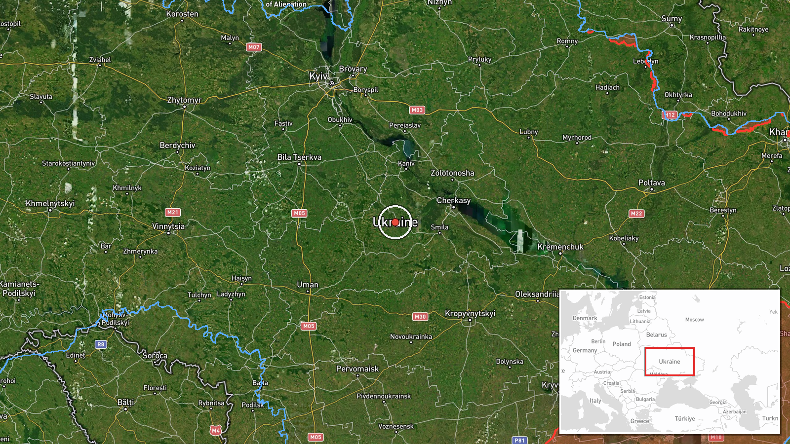
The location is a regional centroid for the northeastern frontline area of Ukraine, not a named settlement or facility. The coordinates, about 49.32 N and 31.32 E, lie in north-central Ukraine, in the broad region east of the Dnipro and north of Cherkasy Oblast. The area is largely flat agricultural land with river valleys and forest belts. Because the source gives no specific target, the point should be read as an approximate area rather than a precise site.
Related events nearby
- Ukrainian soldiers who served on the front line for a long period have been withdrawn from their positions. No2026-10-18 00:00 UTC · Convoy · Ukraine (location not reported)
- Belgium announces it will supply Ukraine with 10 F-16 fighter jets by the end of the year.2026-10-17 13:09 UTC · Deployment · Ukraine (location not reported)
- Ukrainian air monitoring: 2+ Russian jet-powered Shahed (Geran-3) drones heading toward Zvenyhorodka.2026-10-17 12:17 UTC · Drone Transit · Zvenyhorodka, Ukraine
- Ukrainian air monitoring: 1 Russian jet-powered Shahed (Geran-3) drone from Cherkasy Oblast toward Bohuslav.2026-10-17 12:25 UTC · Drone Transit · Bohuslav, Ukraine
- Ukrainian air monitoring: 1 Russian jet-powered Shahed (Geran-3) drone from Cherkasy Oblast toward Smila.2026-10-17 13:49 UTC · Drone Transit · Smila, Ukraine
▶ View this event on the live map

Intel Mapper aggregates open-source reports from monitored Telegram and X channels, geolocates them, cross-checks duplicates across sources and assigns a confidence score. Entries are updated as new confirmations arrive. Read how we verify events.