Ukraine reports one Russian Geran-3 drone heading toward Velyka Dymerka, Kyiv Oblast
What happened
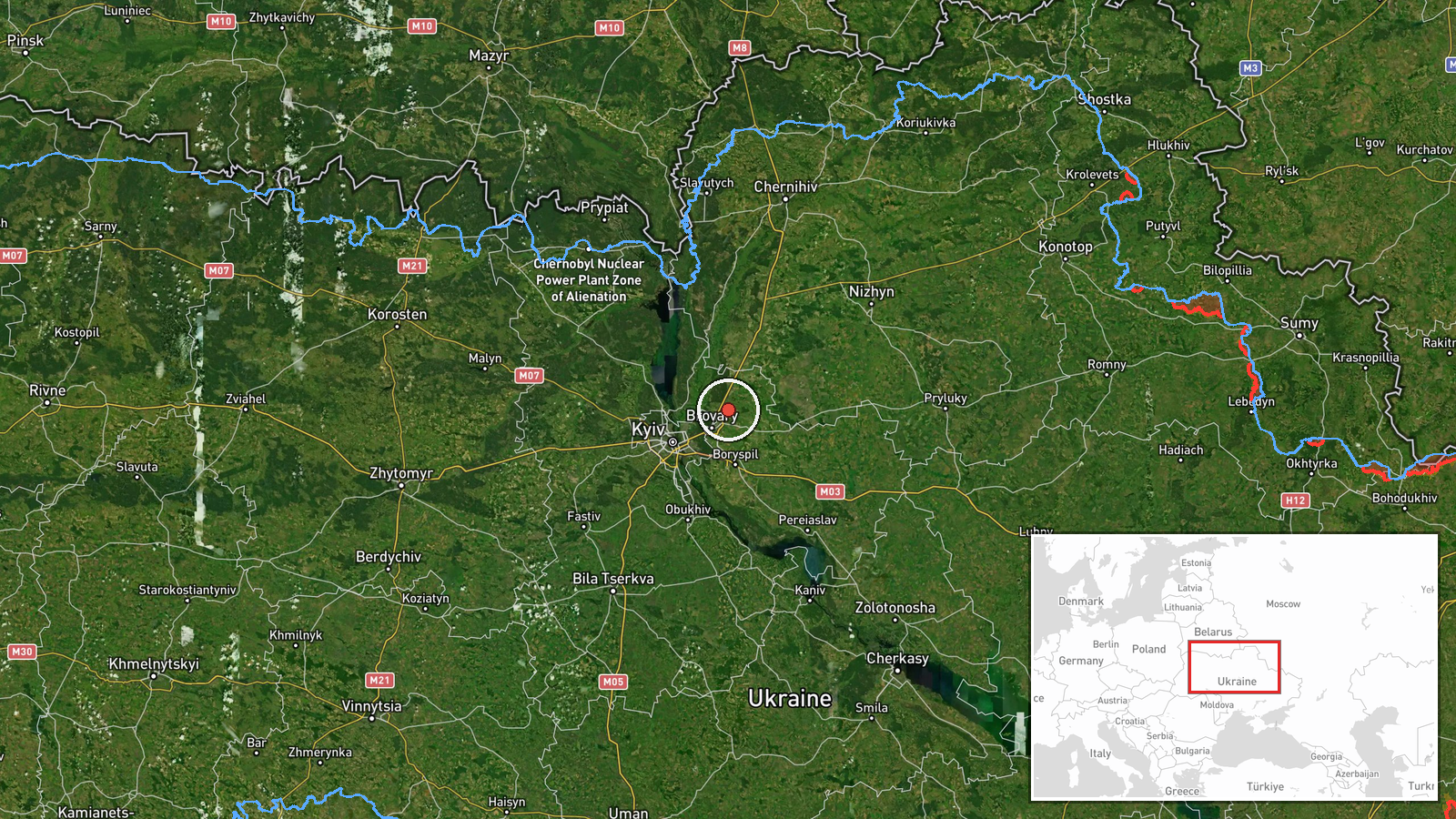
Ukrainian air monitoring, relayed on Telegram by @kpszsu, reported at about 06:04 UTC on 18 October 2026 that one Russian jet-powered Shahed-type drone, identified in the post as a Geran-3, was heading toward Velyka Dymerka, a settlement in northern Kyiv Oblast. The original Ukrainian wording, which translates roughly as a jet UAV toward Velyka Dymerka and Kyiv from the north, places the settlement on the drone's track toward the capital rather than describing it as an impact point. The post reports a transit track only. It gives no reported strike, damage, casualties or interception. The event rests on a single channel and a single drone. Related monitoring posts earlier on 17 and 18 October covered Brovary district and Zhashkiv, both on similar northern approaches.
Context and assessment
Velyka Dymerka lies on the northern approach to Kyiv, within the Brovary district belt that Ukrainian monitoring posts have tracked repeatedly. Tracks over this area are operationally significant because they show drones moving along the corridors that lead toward the capital and its surrounding industrial and logistics zones. The related events form a short sequence. On the evening of 17 October a single Shahed-type drone was reported heading toward Brovary district. At 05:08 on 18 October, two or more Geran-3 drones were reported passing Zhashkiv toward Kyiv Oblast. The Velyka Dymerka report, about an hour later, describes a single jet-powered drone. This may indicate a deliberate single-drone probe, a decoy or sensor role within a larger raid, or an isolated track that never reaches a target. The open reporting does not show which. Jet-powered Geran-3 variants are generally faster and can carry heavier payloads than piston-engined Geran-2 models, which would make a track through this corridor more concerning if it continued. The other items in the same window, including the sanctions statement, the titushky report and the General Staff losses post that contains no figures, concern politics and administration rather than this track, and should not be read as linked to it.
Sources and confidence
All of the information comes from one Telegram channel, @kpszsu, which posts Ukrainian air-monitoring alerts. No second channel, official Air Force statement or independent outlet in the dataset confirms the track. The score of 8.0 reflects a specific model designation, a clear bearing and a settlement-level location from a channel that routinely posts this type of update, but it is held below the top range because there is no cross-confirmation and no follow-up. Confidence would rise with a second independent monitoring source, an official Ukrainian Air Force statement, or reports of an interception or impact near the settlement. It would fall if later updates change the track, if the drone is not seen again, or if the channel issues a correction.
Location
The location is recorded at settlement level, with coordinates at 50.591 north and 30.901 east, placing the point in the village of Velyka Dymerka rather than on a specific facility. The source text names the settlement together with Kyiv as the direction of travel, which supports the settlement-level assignment. Velyka Dymerka sits in Kyiv Oblast north of the capital, in flat, low-lying country shaped by river floodplains and reservoir and wetland areas. That open terrain offers little cover and tends to leave low-flying drone tracks visible to radar and observers over a wide area.
Related events nearby
- Ukrainian air monitoring: 1 Russian Shahed-type drone heading toward Brovary.2026-10-18 07:15 UTC · Drone Transit · Brovary, Ukraine
- Ukrainian air monitoring: 1 Russian Shahed-type drone heading toward Brovary district.2026-10-17 19:28 UTC · Drone Transit · Brovary district, Ukraine
- Ukrainian air monitoring: 1 Russian Shahed-type drone heading toward Berezniaky, Kyiv.2026-10-18 07:11 UTC · Drone Transit · Berezniaky, Kyiv, Ukraine
- Ukrainian air monitoring: 1 Russian Shahed-type drone passing Dymer, heading toward Vyshhorod.2026-10-18 07:01 UTC · Drone Transit · Vyshhorod, Ukraine
- Ukrainian air monitoring: 1 Russian Shahed-type drone heading toward Osokorky, Kyiv.2026-10-18 07:14 UTC · Drone Transit · Osokorky, Kyiv, Ukraine
▶ View this event on the live map

Intel Mapper aggregates open-source reports from monitored Telegram and X channels, geolocates them, cross-checks duplicates across sources and assigns a confidence score. Entries are updated as new confirmations arrive. Read how we verify events.