Jet-powered Geran-3 drone reported crossing Chornobyl exclusion zone toward Zhytomyr Oblast
What happened
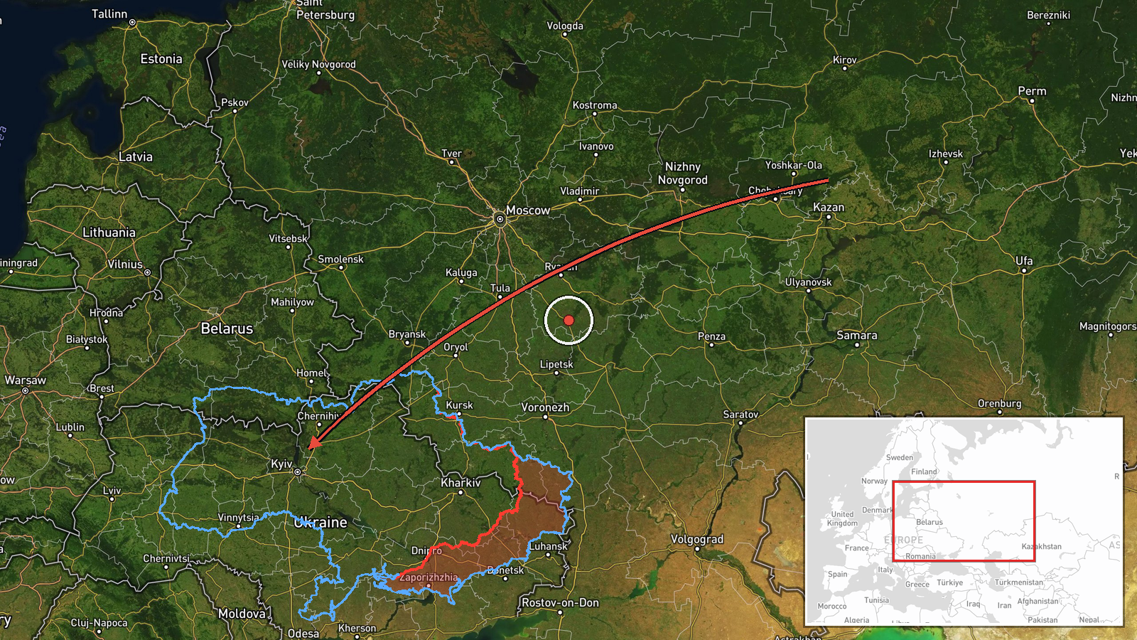
At about 06:59 UTC on 19 October 2026, a Telegram channel linked to Ukrainian air monitoring, @kpszsu, reported a single jet-powered Shahed-type drone, identified in the post as a Geran-3, passing through the Chornobyl Nuclear Power Plant exclusion zone on a course toward Zhytomyr Oblast. The original Ukrainian-language post describes a jet drone moving through the exclusion zone toward the Zhytomyr region. The report gives no track, altitude, impact point, or damage or casualty information. It is classed as a drone transit rather than a strike, and the location is recorded only at regional level.
Context and assessment
Zhytomyr Oblast lies on a northwestern approach corridor that Russian long-range drones have used toward central and western Ukraine. The Chornobyl exclusion zone is a sparsely populated belt of forest and wetland, which makes it a plausible low-density route for drones moving around air defence concentrations. The related events show a sustained pattern over about thirty-six hours. On 18 October, Ukrainian monitoring logged a Geran-3 over Korosten at 08:15 and another heading toward Kozyatyn at 08:54, a Shahed-type drone heading toward Kodra at 15:34, and a Banderol mini cruise missile heading toward Kalynivka at 19:18. At 04:40 on 19 October, two or more jet-powered drones were reported passing northern Zhytomyr Oblast heading west. Taken together, these reports point to repeated flights along a similar axis rather than one isolated transit. The mix of drone types, including a cruise missile, may suggest an effort to test detection coverage or to saturate defences. The transit reports are most useful as indicators of flight paths. They do not by themselves establish targets, and analysts should check later reports before drawing conclusions about intent.
Sources and confidence
Only one channel, Telegram @kpszsu, reported this event, so there is no cross-confirmation and the record rests on a single Ukrainian air-monitoring post. The confidence score of 8.0 reflects a specialised monitoring source with a consistent reporting style, offset by the lack of a second independent report, imagery, or official statement. Confidence would rise if other Ukrainian monitoring channels, the Air Force, or regional military administrations confirmed the track. It would fall if later reports contradicted the heading or identified the object as a decoy or a different aircraft.
Location
The location is recorded at regional precision only, Zhytomyr Oblast, with low location confidence. The coordinates (50.25, 28.66) are an approximate centroid rather than a settlement or facility. The post places the drone passing through the Chornobyl exclusion zone, a restricted area of forest, marsh, and abandoned settlements in northern Ukraine near the Belarus border. Nearby features include the Pripyat river basin and the wooded northern districts of Zhytomyr Oblast.
Related events nearby
- Ukrainian air monitoring: 2+ Russian jet-powered Shahed (Geran-3) drones passing northern Zhytomyr Oblast, hea2026-10-19 04:40 UTC · Drone Transit · northern Zhytomyr Oblast, Ukraine
- Ukrainian air monitoring: 1 Russian jet-powered Shahed (Geran-3) drone heading toward Kozyatyn.2026-10-18 08:54 UTC · Drone Transit · Kozyatyn, Ukraine
- Ukrainian air monitoring: 1 Russian Shahed-type drone heading toward Kodra.2026-10-18 15:34 UTC · Drone Transit · Kodra, Ukraine
- Ukrainian air monitoring: 1 Russian jet-powered Shahed (Geran-3) drone over Korosten.2026-10-18 08:15 UTC · Drone Transit · Korosten, Ukraine
- Ukrainian air monitoring: 1 Russian Banderol mini cruise missile heading toward Kalynivka.2026-10-18 19:18 UTC · Cruise Missile · Kalynivka, Ukraine
▶ View this event on the live map

Intel Mapper aggregates open-source reports from monitored Telegram and X channels, geolocates them, cross-checks duplicates across sources and assigns a confidence score. Entries are updated as new confirmations arrive. Read how we verify events.