Single Russian Geran-3 drone reportedly tracked near Zvyahel, moving toward Rivne Oblast
What happened
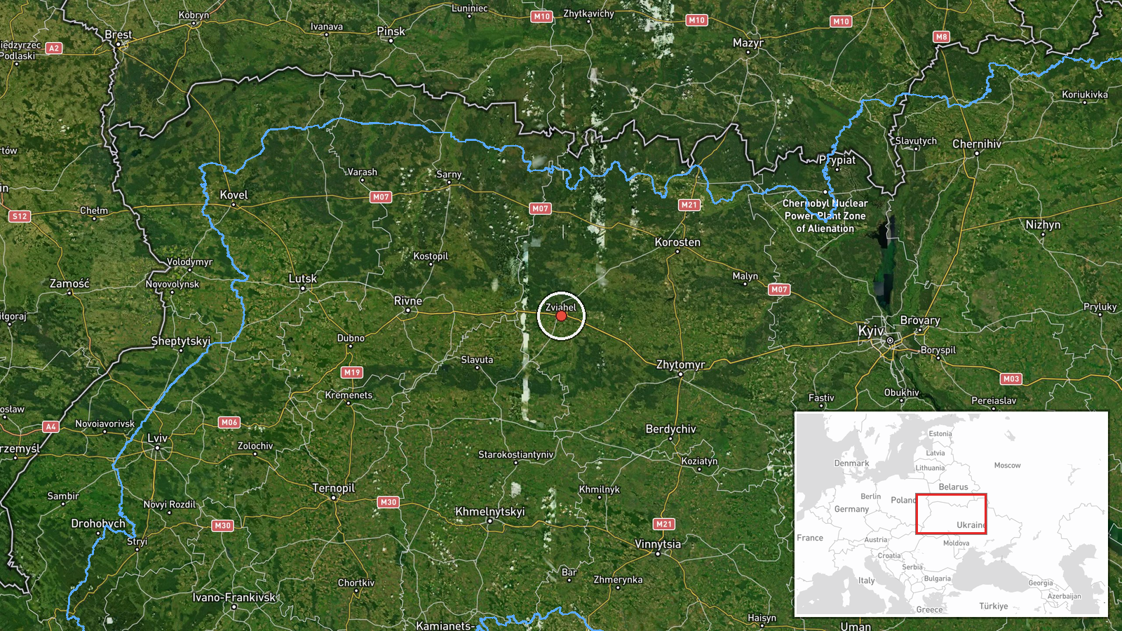
Ukrainian air monitoring reported on Telegram via the channel @kpszsu that one Russian jet-powered Shahed, designated Geran-3, was passing near or over Zvyahel in Zhytomyr Oblast at about 16:31 UTC on 19 October 2026. The original Ukrainian-language post describes the drone as flying past or on Zvyahel with a heading toward Rivne Oblast, which is the wording used in the summary. The report does not mention impacts, casualties, or damage, and it describes the event only as a tracked aerial movement. Because the notice comes from a single channel and no second outlet is listed, the account should be treated as an initial air-alert style update rather than a confirmed incident report.
Context and assessment
Zvyahel sits in the northwest of Zhytomyr Oblast, on a corridor that Russian long-range drones have repeatedly used to reach western Ukraine. Related entries from the same day show a pattern of single Geran-3 tracks moving through Zhytomyr, Khmelnytskyi and eastern Rivne oblasts, including passes near Baranivka, Shepetivka and eastern Rivne at several times between 02:57 and 16:49 UTC. This cluster suggests that a number of drones were launched on routes that cross the northwestern part of the country toward targets further west, rather than a single strike aimed at Zvyahel itself. Transit tracks of this kind are typically reported by air monitoring services to support warning systems, and their timing and direction do not, on their own, reveal the intended target. Operationally, the repeated use of a corridor through these oblasts may indicate a deliberate effort to stretch regional air defence and warning coverage. Analysts would normally look for follow-up reports of impacts or interceptions before drawing firmer conclusions about purpose.
Sources and confidence
The only listed source is the Telegram channel @kpszsu, which relays Ukrainian air monitoring messages. No independent outlet or second channel in the dataset confirms this specific track, so cross-confirmation is absent. The confidence score of 8.0 reflects a high location confidence and a clear, specific description of drone type and direction, but it is held below the top range because it rests on one channel and the report does not state a source for the track itself. Confidence would rise if a second monitoring source or regional military administration reported the same track, or if the related Shahed tracks were matched to official interception statements. It would fall if later corrections changed the drone type, the direction, or the claimed position.
Location
The point is placed at the settlement of Zvyahel, a town in Zhytomyr Oblast, based on the named settlement and high location confidence in the dataset. Geo precision is settlement level, so the marker reflects the town centre rather than an exact flight position. The area is flat to gently rolling farmland and forest on the Zhytomyr and Rivne border zone, with the Sluch River basin nearby. The nearby settlements of Baranivka and Shepetivka lie to the south and southwest respectively and appear in related entries on the same route.
Related events nearby
- Ukrainian air monitoring: 1 Russian jet-powered Shahed (Geran-3) drone from Zhytomyr Oblast toward Baranivka.2026-10-19 16:46 UTC · Drone Transit · Baranivka, Ukraine
- Ukrainian air monitoring: 1 Russian jet-powered Shahed (Geran-3) drone passing eastern Rivne Oblast, heading w2026-10-19 03:33 UTC · Drone Transit · eastern Rivne Oblast, Ukraine
- Ukrainian air monitoring: 1 Russian jet-powered Shahed (Geran-3) drone from Zhytomyr Oblast toward eastern Riv2026-10-19 02:57 UTC · Drone Transit · eastern Rivne Oblast, Ukraine
- Ukrainian air monitoring: 1 Russian jet-powered Shahed (Geran-3) drone from Khmelnytskyi Oblast toward Shepeti2026-10-19 16:49 UTC · Drone Transit · Shepetivka, Ukraine
- Ukrainian air monitoring: 1 Russian jet-powered Shahed (Geran-3) drone from Khmelnytskyi Oblast toward Shepeti2026-10-19 16:07 UTC · Drone Transit · Shepetivka, Ukraine
▶ View this event on the live map

Intel Mapper aggregates open-source reports from monitored Telegram and X channels, geolocates them, cross-checks duplicates across sources and assigns a confidence score. Entries are updated as new confirmations arrive. Read how we verify events.