Single jet-powered Shahed (Geran-3) drone reported moving toward Radomyshl, Zhytomyr Oblast
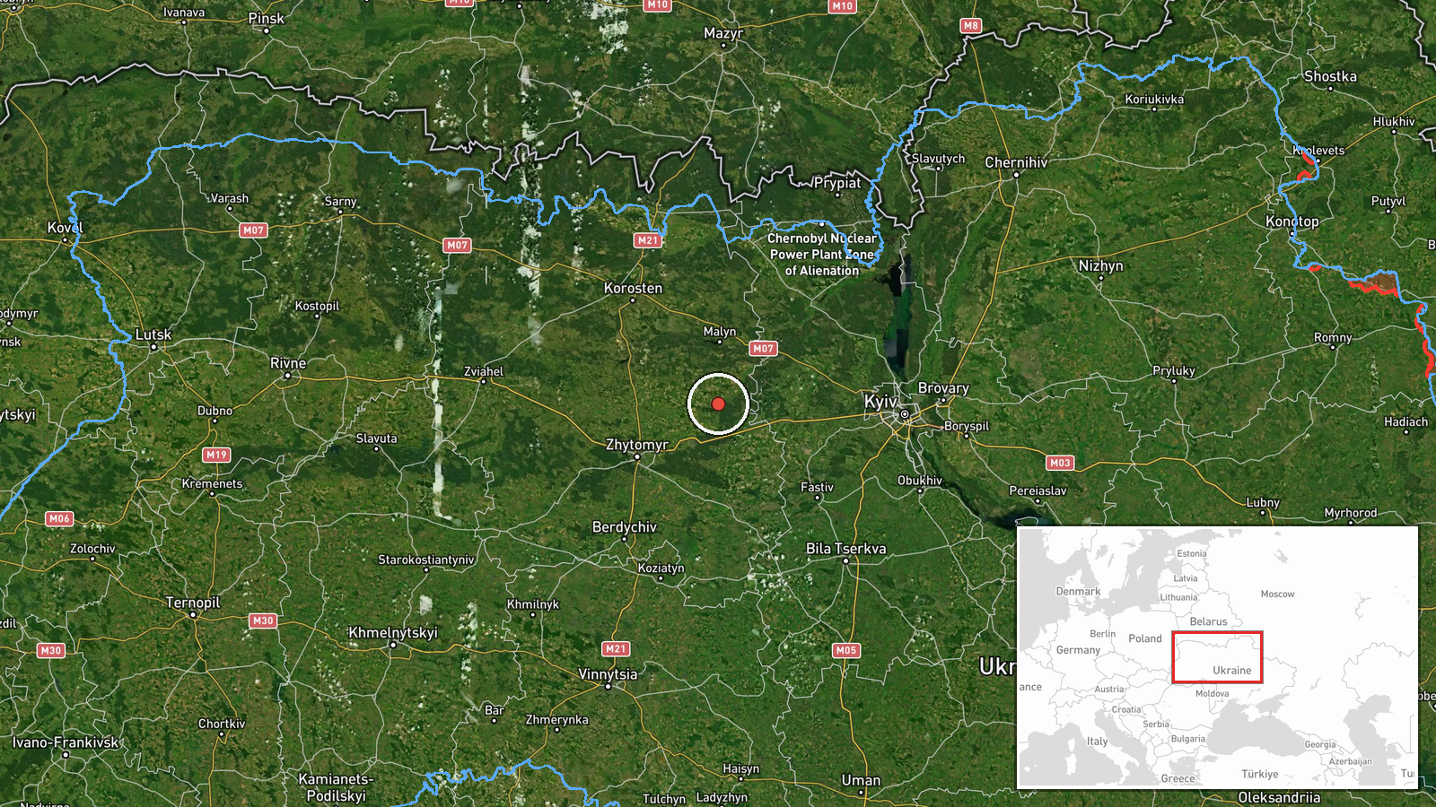
What happened
Ukrainian air monitoring reported on Telegram channel @kpszsu that one Russian jet-powered Shahed (Geran-3) drone was approaching Radomyshl in Zhytomyr Oblast from the north. The alert was logged at 04:19 UTC on 20 October 2026. The original post, written in Ukrainian, describes a jet-type unmanned aerial vehicle heading toward Radomyshl and does not report any impact, casualties, or damage at that point. The report is a transit or threat alert rather than a confirmed strike. Because it comes from a single monitoring channel and no follow-up reporting is linked to this entry, the outcome of the drone's flight is not established by the available data.
Context and assessment
Radomyshl is a town in northwestern Zhytomyr Oblast, roughly 130 kilometres west of Kyiv, and it sits along the corridor that drones take when moving from the north toward central and western Ukraine. The related events show a sustained sequence of single jet-powered Geran-3 and Shahed-type drones tracked through Kyiv and Zhytomyr oblasts over the preceding roughly seven hours, with reports moving from northern Kyiv Oblast at 18:42 UTC on 19 October, through Zhytomyr Oblast and the city of Zhytomyr, to Piskivka, and then to Malyn at 02:48 UTC on 20 October. The sequence suggests a path that tracks the same general axis, with the Radomyshl alert representing the next point on that route. Such pattern-based monitoring is typically used to warn local air defence units and civilians along the route rather than to identify a specific intended target. Operationally, the pattern may indicate a series of individual drones launched in staggered fashion along a northern approach, although the data does not confirm the launch origin or the intended destination.
Sources and confidence
The report rests on one Telegram channel, @kpszsu, which is a Ukrainian air-monitoring account. No second channel, wire service, or official statement in the data corroborates the Radomyshl alert. The confidence score of 8.0 reflects the channel's consistent use in the related sequence and the specificity of the settlement named, but it is held below the top range because the entry has a single source and no independent confirmation of track or impact. Confidence would rise with corroboration from additional monitoring channels, regional military administration statements, or reports of a detonation or interception. It would fall if later updates contradict the track or if the drone is recorded as diverted elsewhere.
Location
The coordinates correspond to the settlement of Radomyshl, which the alert names directly, so the location is classified as settlement-level precision with high location confidence. Radomyshl lies in the Polissia lowlands of northern central Ukraine, a area of forests, wetlands, and flat farmland drained by rivers such as the Teteriv. The town is part of Zhytomyr Oblast and is situated along the regional road and rail routes that connect the oblast with Kyiv.
Related events nearby
- Ukrainian air monitoring: 1 Russian jet-powered Shahed (Geran-3) drone from Zhytomyr Oblast toward Malyn.2026-10-20 02:48 UTC · Drone Transit · Malyn, Ukraine
- Ukrainian air monitoring: 1 Russian jet-powered Shahed (Geran-3) drone passing Kozyatyn, heading toward Zhytom2026-10-20 04:44 UTC · Drone Transit · Zhytomyr Oblast, Ukraine
- Ukrainian air monitoring: 1 Russian Shahed-type drone passing Piskivka, heading toward Zhytomyr Oblast.2026-10-20 00:40 UTC · Drone Transit · Zhytomyr Oblast, Ukraine
- Ukrainian air monitoring: 1 Russian jet-powered Shahed (Geran-3) drone heading toward Zhytomyr.2026-10-20 00:19 UTC · Drone Transit · Zhytomyr, Ukraine
- Ukrainian air monitoring: 1 Russian jet-powered Shahed (Geran-3) drone from Kyiv Oblast toward Zhytomyr Oblast2026-10-19 21:00 UTC · Drone Transit · Zhytomyr Oblast, Ukraine
▶ View this event on the live map

Intel Mapper aggregates open-source reports from monitored Telegram and X channels, geolocates them, cross-checks duplicates across sources and assigns a confidence score. Entries are updated as new confirmations arrive. Read how we verify events.