Ukrainian air monitoring reports one Shahed-type drone heading toward Kharkiv from the north
What happened
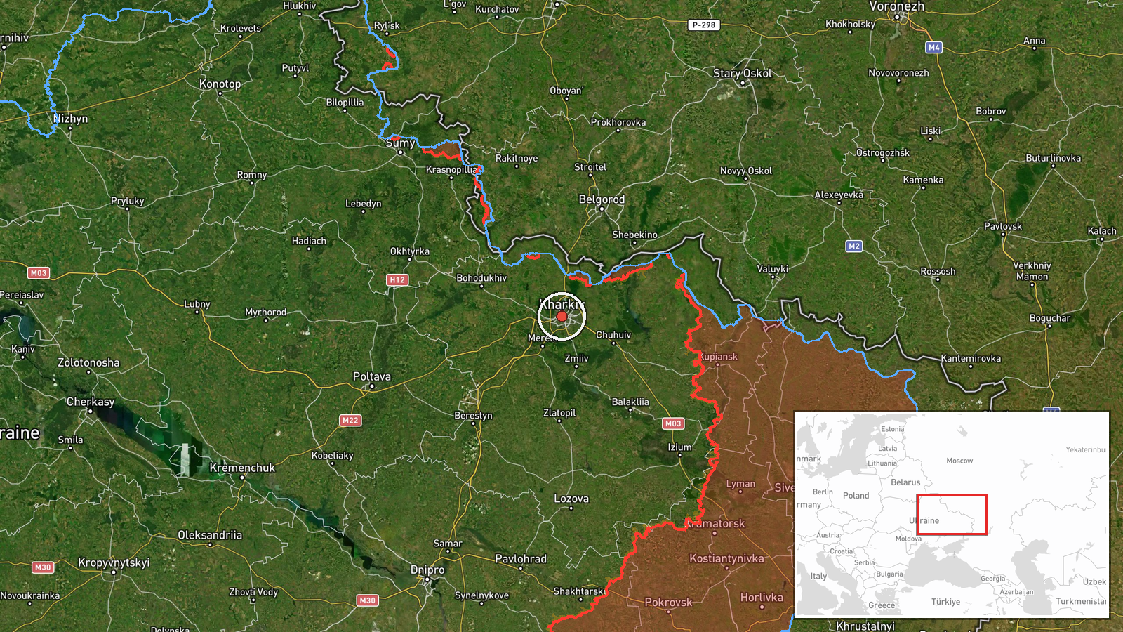
Ukrainian air monitoring reported on 20 October 2026, at 08:58 UTC, that one Russian Shahed-type drone was on course toward Kharkiv from the north. The original Ukrainian-language message, posted to a Telegram channel tagged @kpszsu, reads in translation as an unmanned aerial vehicle on course for Kharkiv from the north. The report does not state whether the drone struck anything, was intercepted, or caused casualties. The entry is classed as a drone transit, meaning a detected airborne track rather than a confirmed impact. Attribution to Russia reflects the report's identification of the drone type and the wider pattern of Russian long-range drone use against Ukrainian cities, not a separate investigation of this specific aircraft.
Context and assessment
Kharkiv, Ukraine's second-largest city, lies close to the Russian border, and it has been a recurring target of cross-border strikes since 2022. The related events on the same map show a dense sequence over roughly 16 hours. On 19 October, single Shahed-type drone transits toward Kharkiv were logged at 16:12, 18:42 and 22:35 UTC. Between the second and third of those, a drone attack on the city at 17:50 UTC was reported to have killed a 14-month-old infant, an 11-year-old girl and their mother. On 20 October, a ballistic missile heading toward Kharkiv Oblast was logged at 07:41 UTC, roughly an hour before the present drone track. The spacing of these events suggests sustained pressure on the Kharkiv area rather than a single isolated launch. Operationally, repeated low-volume drone transits in quick succession may be intended to keep air defence and warning systems engaged, to probe approach corridors from the north, or to be combined with missile activity. These readings are inferences from the timing alone and cannot be confirmed from a single monitoring entry.
Sources and confidence
The event rests on a single Telegram channel, @kpszsu, and the data contains no independent cross-confirmation from other Ukrainian authorities, Kharkiv city officials, wire services or imagery. The confidence score of 8.0 reflects the channel's role as a military air-monitoring source, the specificity of the track description, and the consistency of this entry with the surrounding pattern of drone and missile reports. It is not higher because the report is unverified and describes only a detected track. Confidence would rise with corroboration from regional officials, a later impact report, or debris imagery matching the drone type. It would fall if the track were reclassified, reassigned to another direction, or shown not to have reached the city.
Location
The location is recorded at settlement level, with coordinates of 49.99 latitude and 36.23 longitude, centred on Kharkiv city, and the location confidence is rated high. The point marks the city rather than any specific facility. Kharkiv sits in northeastern Ukraine on the Kharkiv and Lopan rivers, on a largely flat steppe plain, with the Siversky Donets river system to the east and south. The city is roughly within striking distance of the Russian border to its north and east.
Related events nearby
- Ukrainian air monitoring: 1 Russian ballistic missile heading toward Kharkiv Oblast.2026-10-20 07:41 UTC · Ballistic Missile · Kharkiv Oblast, Ukraine
- Ukrainian air monitoring: 1 Russian Shahed-type drone heading toward Kharkiv.2026-10-19 22:35 UTC · Drone Transit · Kharkiv, Ukraine
- Ukrainian air monitoring: 1 Russian Shahed-type drone heading toward Kharkiv.2026-10-19 18:42 UTC · Drone Transit · Kharkiv, Ukraine
- Russian drone attack on Kharkiv killed a 14-month-old infant, an 11-year-old girl and their mother.2026-10-19 17:50 UTC · UAS Strike · Kharkiv, Kharkiv Oblast, Ukraine
- Ukrainian air monitoring: 1 Russian Shahed-type drone heading toward Kharkiv.2026-10-19 16:12 UTC · Drone Transit · Kharkiv, Ukraine
▶ View this event on the live map

Intel Mapper aggregates open-source reports from monitored Telegram and X channels, geolocates them, cross-checks duplicates across sources and assigns a confidence score. Entries are updated as new confirmations arrive. Read how we verify events.