Jet-powered Shahed drone reported on course for Lviv, Ukraine, per air monitoring alert
What happened
Ukrainian air monitoring, relayed through the Telegram channel @kpszsu, reported one Russian jet-powered Shahed-type drone, classed in the data as a Geran-3, heading toward Lviv. The original Ukrainian-language post describes a jet-powered unmanned aerial vehicle on a course toward Lviv from the east. The report was logged at 17:10 UTC on 21 October 2026. The entry names no impact point, casualties or damage and records only a transit warning. Lviv is the regional centre of Lviv Oblast in western Ukraine, near the Polish border. The item rests on a single channel and reflects a real-time tracking update, not a confirmed strike outcome.
Context and assessment
Lviv is one of the largest cities in western Ukraine, an administrative, transport and industrial hub, and it has been a recurring reference point for air alerts since the wider war began. Related entries from the same day show a sequence of Geran-3 transit reports across western oblasts. Early on 21 October, drones were logged near Zhovkva and Sosnivka, one described as coming from Volyn Oblast and another from northern Lviv Oblast. At 04:10 a drone was reported passing Zarichne heading west, and at 16:39 another was reported heading toward Ternopil Oblast. Taken together, the pattern suggests repeated tracks through the Volyn, Lviv and Ternopil corridor rather than a single isolated flight. Operationally, such routing may indicate long-range drones transiting western Ukraine toward other targets, or aiming at regional infrastructure, with Lviv's position close to the Polish border adding to its relevance. The data alone cannot establish intent, and these readings remain provisional.
Sources and confidence
The event is attributed to one channel, Telegram @kpszsu, with no second source listed in the data. Cross-confirmation is therefore absent, which explains the confidence score of 8.0 despite the high location confidence. The related entries share similar wording but are also listed as single-channel reports in the dataset. Confidence would rise with corroboration from an official Ukrainian Air Force statement, regional military administration notices, or independent flight-tracking or radar-based observations matching the track. It would fall if subsequent updates revise the drone type, heading or time, or if the alert is withdrawn.
Location
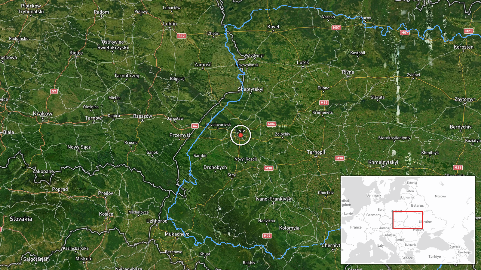
The location is geocoded at settlement level to the centre of Lviv, with coordinates 49.84 N and 24.03 E and high location confidence. This reflects a city-wide reference rather than a specific facility or impact site. Lviv sits in western Ukraine on the Poltva River, in a landscape of rolling hills that rise toward the Carpathian foothills to the south. The city lies roughly 70 km from the Polish border, which is relevant to the routing of drones across the region.
Related events nearby
- Ukrainian air monitoring: 1 Russian jet-powered Shahed (Geran-3) drone from northern Ivano-Frankivsk Oblast to2026-10-21 18:27 UTC · Drone Transit · Lviv Oblast, Ukraine
- Ukrainian air monitoring: 1 Russian jet-powered Shahed (Geran-3) drone heading toward Zhovkva.2026-10-21 02:18 UTC · Drone Transit · Zhovkva, Ukraine
- Ukrainian air monitoring: 1 Russian jet-powered Shahed (Geran-3) drone from Volyn Oblast toward Sosnivka.2026-10-21 02:18 UTC · Drone Transit · Sosnivka, Ukraine
- Ukrainian air monitoring: 1 Russian jet-powered Shahed (Geran-3) drone from northern Lviv Oblast toward Sosniv2026-10-21 02:17 UTC · Drone Transit · Sosnivka, Ukraine
- Ukrainian air monitoring: 1 Russian jet-powered Shahed (Geran-3) drone passing Zarichne, heading west.2026-10-21 04:10 UTC · Drone Transit · Zarichne, Ukraine
▶ View this event on the live map

Intel Mapper aggregates open-source reports from monitored Telegram and X channels, geolocates them, cross-checks duplicates across sources and assigns a confidence score. Entries are updated as new confirmations arrive. Read how we verify events.