Ukrainian Air Force warns of Russian jet-powered Shahed drone heading toward Zdolbuniv, Rivne Oblast
What happened
Ukraine's Air Force, through its official Telegram channel @kpszsu, reported one Russian jet-powered Shahed, identified as a Geran-3, heading toward Zdolbuniv in Rivne Oblast on 22 October 2026 at about 17:52 UTC. The original Ukrainian-language post was a brief air-alert line stating that a jet-type unmanned aerial vehicle was bound for the town. It did not report impact, damage, casualties or interception. Because the item is an air-monitoring warning rather than confirmed strike damage, it is recorded as a drone transit. The alert formed part of a series of similar warnings across western Ukraine that day, in which the same drone type was tracked through several Rivne, Volyn and Khmelnytskyi locations between early morning and late afternoon.
Context and assessment
Zdolbuniv matters largely because of its geography. It is a major railway junction on principal east-west lines in northwestern Ukraine, so rail traffic, logistics and energy-linked infrastructure in the wider region are plausible areas of interest, though the data does not establish any specific target. The day's sequence is informative. Related alerts moved from Kostopil at 07:40 UTC, to Berezne at 09:17, to Rivne at 09:23, to Shepetivka at 16:57 with the drone described as coming from northern Khmelnytskyi Oblast, and to Volyn Oblast at 17:00 with the drone described as coming from Rivne Oblast. The Zdolbuniv alert followed about 50 minutes later. This pattern suggests either several drones on separate routes or one track reported repeatedly as it moved through the region. Operationally, the jet-powered Geran-3 is faster than earlier piston-engined variants, which shortens warning time for populations along the route. Repeated transits through the same oblasts are often read as routing through western corridors toward central or western Ukraine, but this remains an inference rather than a confirmed intent.
Sources and confidence
All information comes from a single channel, @kpszsu, which is the Ukrainian Air Force's official account and is generally treated as authoritative for air alerts. Air alerts are operational messages and can be revised or withdrawn, and the dataset contains no independent cross-confirmation, local official statements, media corroboration or impact reporting. The confidence score of 8.0 reflects the official origin, the specific and consistent wording, and agreement with the same-day series of related alerts. It is held below the top of the scale because of the single-source status and the absence of any impact or interception confirmation. Confidence would rise with corroboration from regional military administrations or subsequent reporting of impact, and would fall if the track were revised, the drone reported as diverted, or the alert withdrawn.
Location
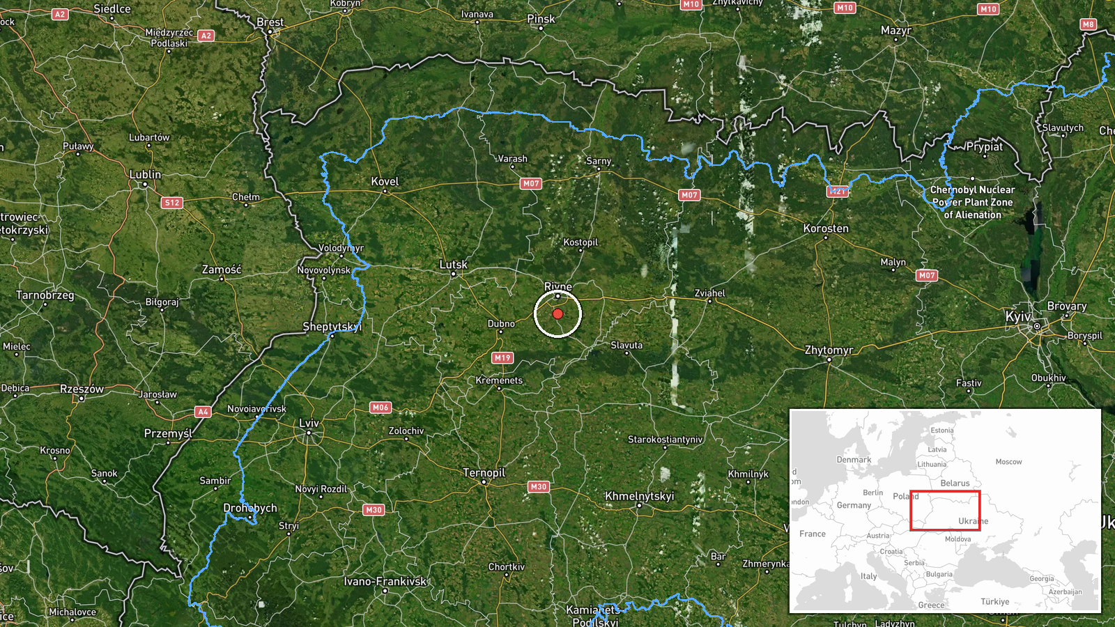
The location was determined at settlement level with high confidence, using the named town of Zdolbuniv. The coordinates, approximately 50.52 N and 26.25 E, mark the town rather than a specific facility. Zdolbuniv lies in Rivne Oblast in northwestern Ukraine, in lowland terrain of the Polissia and Volhynia transition zone. The area is characterized by farmland, forest belts and river valleys. The town's most notable feature is its railway junction, which is a key node on main east-west rail lines.
Related events nearby
- Ukrainian air monitoring: 1 Russian jet-powered Shahed (Geran-3) drone heading toward Rivne.2026-10-22 09:23 UTC · Drone Transit · Rivne, Ukraine
- Ukrainian air monitoring: 1 Russian jet-powered Shahed (Geran-3) drone heading toward Kostopil.2026-10-22 07:40 UTC · Drone Transit · Kostopil, Ukraine
- Ukrainian air monitoring: 1 Russian jet-powered Shahed (Geran-3) drone passing Berezne, heading north.2026-10-22 09:17 UTC · Drone Transit · Berezne, Ukraine
- Ukrainian air monitoring: 1 Russian jet-powered Shahed (Geran-3) drone from northern Khmelnytskyi Oblast towar2026-10-22 16:57 UTC · Drone Transit · Shepetivka, Ukraine
- Ukrainian air monitoring: 1 Russian jet-powered Shahed (Geran-3) drone from Rivne Oblast toward Volyn Oblast.2026-10-22 17:00 UTC · Drone Transit · Volyn Oblast, Ukraine
▶ View this event on the live map

Intel Mapper aggregates open-source reports from monitored Telegram and X channels, geolocates them, cross-checks duplicates across sources and assigns a confidence score. Entries are updated as new confirmations arrive. Read how we verify events.