Ukrainian air monitoring reports one Russian Shahed-type drone heading toward Kyiv
What happened
At 00:19 UTC on 23 October 2026, a Telegram channel linked to Ukrainian air monitoring reported one Russian Shahed-type drone (a UAV) moving toward the city of Kyiv from the east. The original post, written in Ukrainian with a scooter emoji, reads roughly as 'Kyiv: UAV at the city from the east.' The report describes a single drone in transit and does not mention impacts, casualties, or damage. The event is classed as a drone transit, meaning a monitored flight path rather than a confirmed strike. The attribution to Russia reflects the drone model named in the report and standard practice for this weapon type, not a separate statement of responsibility.
Context and assessment
Kyiv is Ukraine's capital and seat of government, so air alerts and drone tracks there attract close attention from the public and from international observers. This report sits within a short run of related activity. One minute earlier, at 00:18 UTC, the same monitoring stream reported two or more Shahed-type drones moving from northern Chernihiv Oblast toward Kyiv Oblast, which surrounds the capital. Earlier on 22 October, at 21:11 UTC, a ballistic missile strike on Kyiv was reported, although the report gives no weapon details, casualty figures, or damage assessment. Political statements on the same day, including Zelensky's remarks on overnight strikes and on security guarantees, show that the strikes are being discussed in diplomatic terms. Taken together, the sequence suggests a pattern of rolling drone activity along northern approach routes into the Kyiv area. A single drone track in this context may be part of a larger wave, a decoy, or a tracking gap, and the data does not show which. Monitoring feeds often report single tracks that later merge into larger groups, so this report should be read as one data point in an unfolding picture.
Sources and confidence
The event rests on one source, a Telegram channel whose handle is associated with Ukrainian air monitoring. No independent outlet, wire service, or second official channel in the dataset reports the same track, so cross-confirmation is absent. The confidence score of 8.0 is relatively high for a single channel because the source is an official-style air alert feed with a consistent track record of timely posts, and because the same stream produced a related report one minute earlier. It is held below the top of the scale because there is no second source and no visible impact data. Confidence would rise with corroboration from Ukrainian Air Force statements, regional military administration posts, or independent flight-tracking evidence, or with a confirmed interception or impact. It would fall if later updates retract the track, reclassify it as a different object, or show it was outside the city.
Location
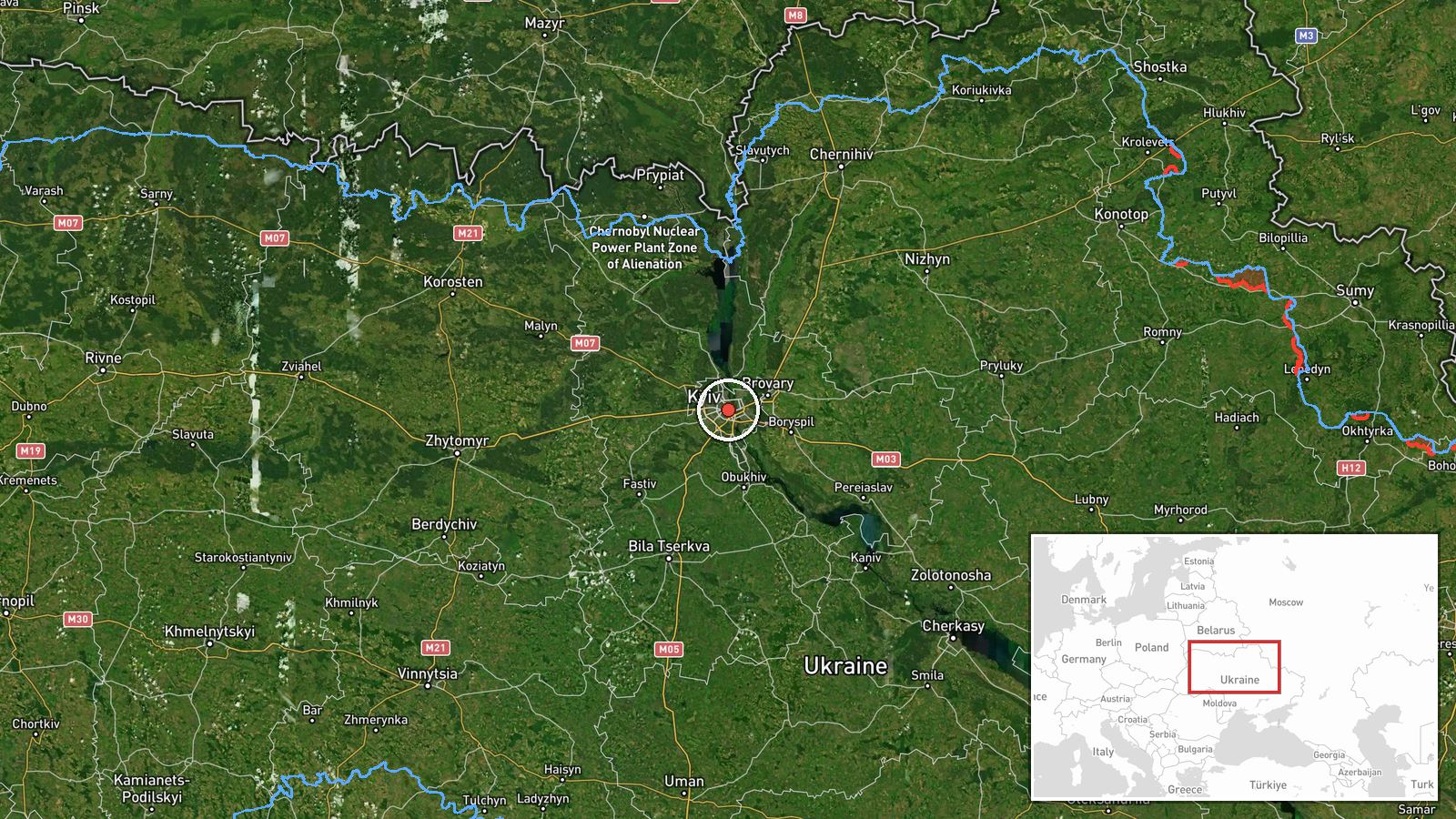
The location is recorded as Kyiv, Ukraine, at settlement precision, with coordinates 50.45 N and 30.52 E. Location confidence is high because the report names the city directly and the coordinates correspond to the city centre. The report refers to the drone approaching from the east rather than giving a precise track. Kyiv lies on both banks of the Dnipro River, with higher ground on the right (western) bank and a low-lying floodplain and reservoir area on the left (eastern) bank. The eastern approach therefore crosses the river and lower-lying terrain before reaching the central districts.
Related events nearby
- Ukrainian air monitoring: 2+ Russian Shahed-type drones from northern Chernihiv Oblast toward Kyiv Oblast.2026-10-23 00:18 UTC · Drone Transit · Kyiv Oblast, Ukraine
- Russia struck the Ukrainian capital Kyiv; weapon type, casualties and damage not specified in the report.2026-10-22 21:11 UTC · Ballistic Missile · Kyiv, Ukraine
- Zelensky says new overnight Russian strikes prove Putin does not want peace; Trump responds that such strikes 2026-10-22 20:17 UTC · Statement · Kyiv, Ukraine
- Zelensky says he believes Russia needs Ukraine to join NATO, claiming membership would give Russia more securi2026-10-22 19:19 UTC · Statement · Kyiv, Ukraine
- Zelensky says Ukraine trusts the US and seeks detailed US security guarantees backed by a US Congress vote, no2026-10-22 19:16 UTC · Statement · Kyiv, Ukraine
▶ View this event on the live map

Intel Mapper aggregates open-source reports from monitored Telegram and X channels, geolocates them, cross-checks duplicates across sources and assigns a confidence score. Entries are updated as new confirmations arrive. Read how we verify events.