Single jet-powered Russian drone reported heading toward Lutsk from the north, Ukraine
What happened
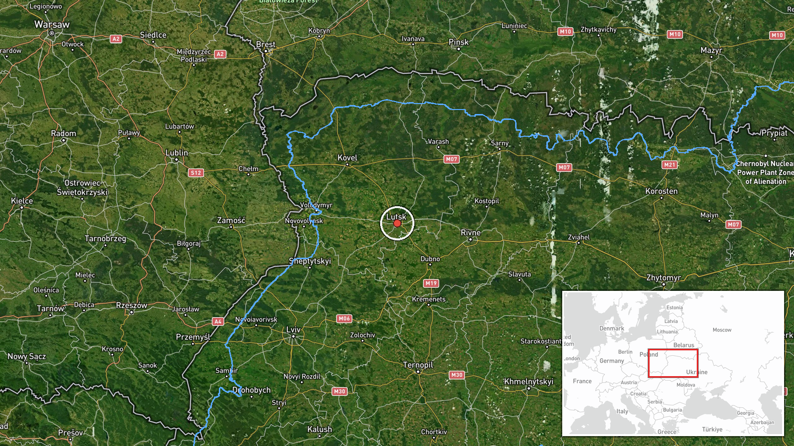
Ukraine's air monitoring channel on Telegram, @kpszsu, reported at 04:26 UTC on 23 October 2026 a single jet-powered Russian Shahed-type drone, identified in the report as Geran-3, on a course toward Lutsk from the north. The original Ukrainian post describes a jet-powered unmanned aerial vehicle heading to Lutsk from the north, wording that signals an airborne track rather than a confirmed impact. The report does not describe any detonation, damage, casualties or interception at the time of posting. Lutsk, the administrative centre of Volyn Oblast in northwestern Ukraine, is the named target location. The event is classified as a drone transit, meaning the aircraft was tracked in flight and no strike is recorded in the source material.
Context and assessment
The event is one of a sequence of single-drone reports across northwestern Ukraine over roughly 11 hours on 22 and 23 October 2026. Earlier entries record Geran-3 drones heading toward Rivne Oblast at 00:39 UTC on 23 October, passing Volyn Oblast at 03:59 heading west, and moving from Rivne Oblast toward Volyn Oblast on 22 October at 07:47 and 17:00. A separate report at 02:19 UTC on 23 October also placed a drone heading toward Lutsk, so this 04:26 report is the second Lutsk-directed track in the series. The pattern suggests a small number of jet-powered drones being routed through the western corridor, with Lutsk repeatedly appearing as a point of approach rather than as a single isolated target. Lutsk is a regional hub with road and rail links and, according to widely reported background, hosts military infrastructure, which may explain why it is tracked closely. Operationally, repeated single-drone tracks of this kind may reflect probing, decoy routing, or attempts to stretch air defence and monitoring resources across a wide area. These inferences cannot be confirmed from the reporting alone, and the sequence should be read as a pattern of activity rather than evidence of intent against any specific facility.
Sources and confidence
The event rests on a single channel, the Telegram account @kpszsu, which is associated with Ukraine's air monitoring reporting. No independent outlet, official second channel or wire service confirmation appears in the provided data, so cross-confirmation is currently absent. The confidence score of 8.0 reflects a credible official-style monitoring source with a clear, time-stamped report and a consistent pattern with related entries, but it is capped below the maximum because there is only one source and no outcome is reported. Confidence would rise with corroboration from additional Ukrainian air force or regional military administration posts, or from independent tracking data. It would fall if the track were revised, retracted, or shown to relate to a different aircraft or route.
Location
The location is recorded as Lutsk at settlement precision, with coordinates of approximately 50.75 north and 25.33 east, and location confidence is rated high because the report names the city directly. Lutsk sits on the Styr River in the Volhynian region of northwestern Ukraine. The terrain around it is largely flat to gently rolling, part of the broader Polesian and Volhynian lowlands. The city lies roughly 100 kilometres from the Polish border, which places it within the western part of the country where drone tracks are reported in sequence.
Related events nearby
- Ukrainian air monitoring: 1 Russian jet-powered Shahed (Geran-3) drone passing Volyn Oblast, heading west.2026-10-23 03:59 UTC · Drone Transit · Volyn Oblast, Ukraine
- Ukrainian air monitoring: 1 Russian jet-powered Shahed (Geran-3) drone heading toward Lutsk.2026-10-23 02:19 UTC · Drone Transit · Lutsk, Ukraine
- Ukrainian air monitoring: 1 Russian jet-powered Shahed (Geran-3) drone from Rivne Oblast toward Volyn Oblast.2026-10-22 17:00 UTC · Drone Transit · Volyn Oblast, Ukraine
- Ukrainian air monitoring: 1 Russian jet-powered Shahed (Geran-3) drone from Rivne Oblast toward Volyn Oblast.2026-10-22 07:47 UTC · Drone Transit · Volyn Oblast, Ukraine
- Ukrainian air monitoring: 1 Russian jet-powered Shahed (Geran-3) drone heading toward Rivne Oblast.2026-10-23 00:39 UTC · Drone Transit · Rivne Oblast, Ukraine
▶ View this event on the live map

Intel Mapper aggregates open-source reports from monitored Telegram and X channels, geolocates them, cross-checks duplicates across sources and assigns a confidence score. Entries are updated as new confirmations arrive. Read how we verify events.