Reported Geran-3 jet-powered drone heading toward Rivne Oblast from north of Khmelnytskyi region
What happened
Ukrainian air monitoring reported one Russian jet-powered Shahed-type drone, identified as a Geran-3, moving toward Rivne Oblast in western Ukraine. The original Ukrainian-language post, published on the Telegram channel @kpszsu, said the drone was heading toward the Rivne region from the north of Khmelnytskyi Oblast. The alert was logged at 00:39 UTC on 23 October 2026. The report describes a drone in transit and does not mention any impact, damage, or casualties. The wording is a brief air-alert notice, not a detailed account of a strike, and the event is recorded as a Drone Transit rather than a confirmed attack.
Context and assessment
Rivne Oblast sits in northwestern Ukraine, closer to the Belarusian and Polish borders than to the front line, and it has repeatedly appeared in air-alert traffic as drones route through the west. The related events in this cluster show a sustained pattern over roughly one day. Earlier alerts on 22 October described single Geran-3 drones heading toward Rivne and, later that day, toward Zdolbuniv, a town a short distance to the south. Around 00:20 UTC on 23 October, further reports described one Shahed-type drone passing Zaporizhzhia toward Rivne and a group of two or more jet-powered drones moving from Zhytomyr Oblast toward Rivne Oblast. Taken together, these reports suggest that Russian drones were being tracked along several corridors converging on the Rivne area. Such patterns may indicate route-finding, decoy activity, or attempts to stretch Ukrainian air defences across the country. The alerts alone do not establish intent or a specific target, and single-drone transit reports are a common and low-severity category on monitoring feeds.
Sources and confidence
This event rests on one Telegram channel, @kpszsu, which relays Ukrainian air monitoring alerts. No second outlet, official statement, or independent observer is recorded for this specific report, so cross-confirmation is absent. The platform assigns a confidence score of 8.0 on its scale, reflecting the official-style source and the specificity of the drone type and heading, but the score is tempered by the single-channel basis and the lack of any corroborating detail. Confidence would rise if other monitoring channels, regional military administrations, or later reporting confirmed the drone's track or its end point. It would fall if subsequent updates revised the drone count, retracted the heading, or showed that the track was a different aircraft.
Location
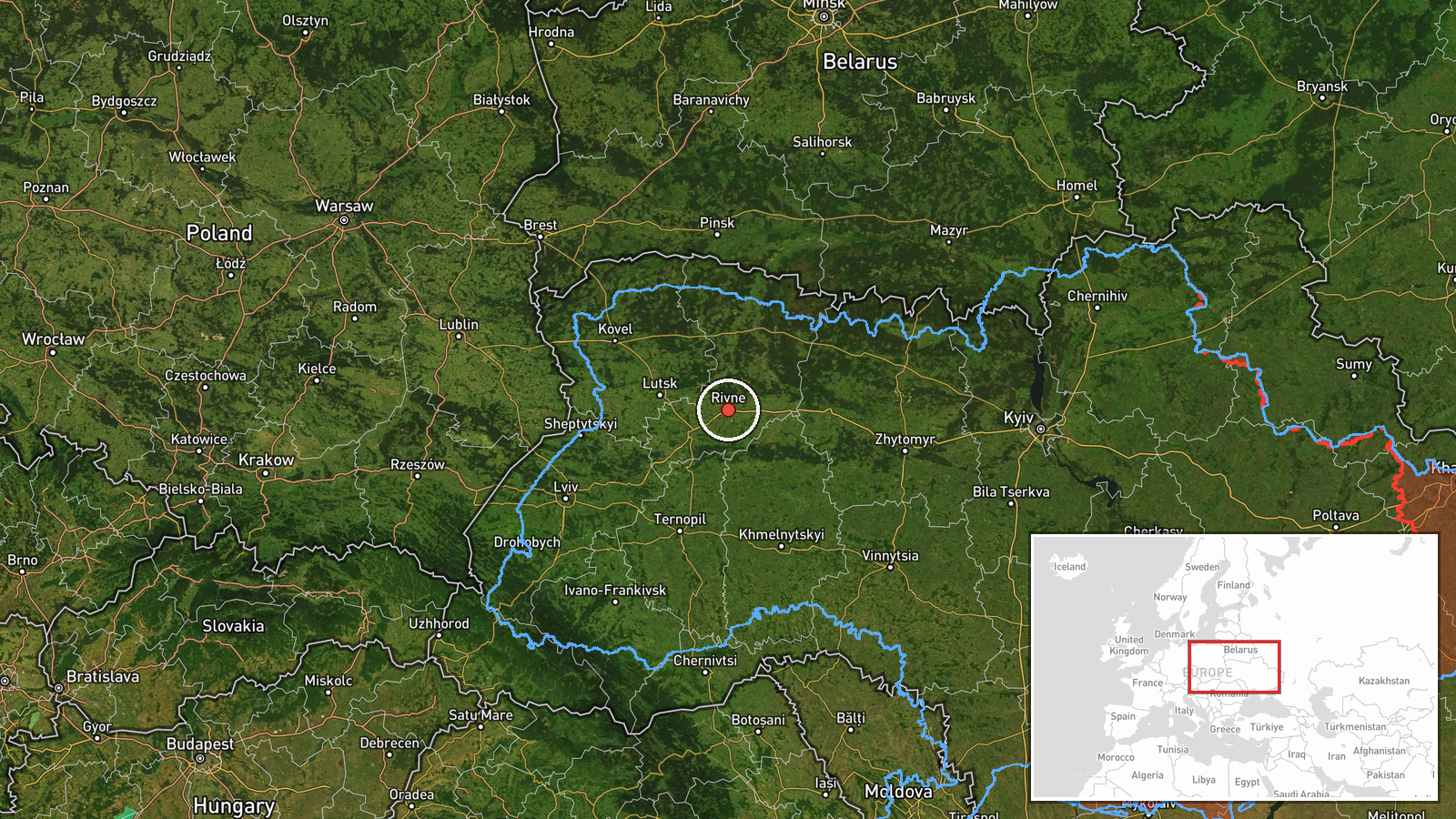
The coordinates place the event at about 50.62 N, 26.25 E, which corresponds to the city of Rivne. The geo-precision is coded as region, and the location confidence is low, so the point should be read as an approximate centre for Rivne Oblast rather than a verified site. The surrounding terrain is part of the Polissia lowlands, which are flat, forested, and marshy, with many rivers and wetlands. The Ustia River runs through the Rivne area, and Zdolbuniv lies to the south along the rail and road corridor.
Related events nearby
- Ukrainian air monitoring: 1 Russian Shahed-type drone heading toward Rivne; 1 Russian Shahed-type drone passin2026-10-23 00:20 UTC · Drone Transit · Rivne, Ukraine
- Ukrainian air monitoring: 2+ Russian jet-powered Shahed (Geran-3) drones from Zhytomyr Oblast toward Rivne Obl2026-10-23 00:20 UTC · Drone Transit · Rivne Oblast, Ukraine
- Ukrainian air monitoring: 1 Russian jet-powered Shahed (Geran-3) drone heading toward Rivne.2026-10-22 09:23 UTC · Drone Transit · Rivne, Ukraine
- Ukrainian air monitoring: 1 Russian jet-powered Shahed (Geran-3) drone heading toward Zdolbuniv.2026-10-23 00:21 UTC · Drone Transit · Zdolbuniv, Ukraine
- Ukrainian air monitoring: 1 Russian jet-powered Shahed (Geran-3) drone heading toward Zdolbuniv.2026-10-22 17:52 UTC · Drone Transit · Zdolbuniv, Ukraine
▶ View this event on the live map

Intel Mapper aggregates open-source reports from monitored Telegram and X channels, geolocates them, cross-checks duplicates across sources and assigns a confidence score. Entries are updated as new confirmations arrive. Read how we verify events.