Ukrainian air monitoring reports jet-powered Shahed (Geran-3) drone heading toward Brovary
What happened
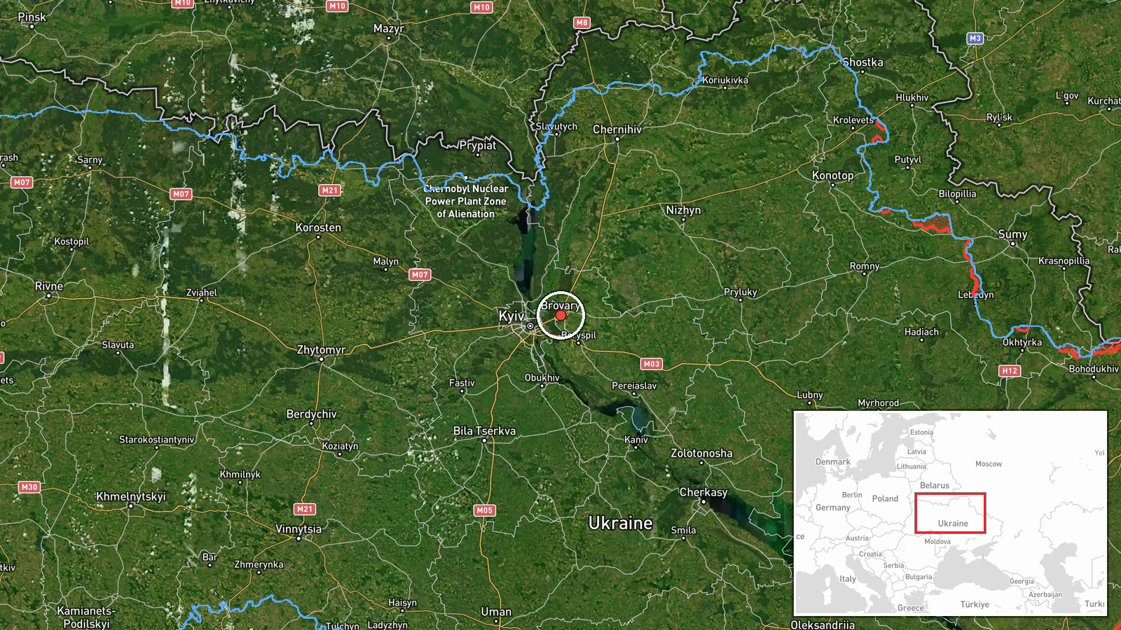
Ukraine's Air Force Telegram channel (@kpszsu) reported on 23 October 2026 at 05:28 UTC that one Russian jet-powered Shahed-type drone, designated Geran-3 in the summary, was on a course toward Brovary, a city in Kyiv Oblast just east of the capital. The original Ukrainian post reads 'Реактивний БпЛА курсом на Бровари,' or 'Jet-powered UAV on course to Brovary,' a brief air-alert style notice with no reported impact, casualties or damage. The report attributes the drone to Russia, but the post itself does not describe the launch site or any intercept. The event is recorded as a drone transit, meaning a sighting of an inbound aircraft rather than a confirmed strike on the town.
Context and assessment
Brovary has appeared repeatedly in this feed over the past day. Earlier on 23 October, at 00:19 UTC, the Ukrainian air monitoring channel reported a Shahed-type drone heading toward the town, and at 03:09 UTC a jet-powered Geran-3 was reported on a similar course. On 22 October at 09:40 UTC a single ballistic missile was reported over Brovary. The same day, Russia struck Kyiv overnight, with the ballistic missile strike reported at 21:11 UTC, although the report did not specify the weapon type, casualties or damage. Political statements followed, with Zelensky accusing Putin of not wanting peace and Trump remarking that such strikes had been happening a lot. Taken together, the repeated approach routes toward Brovary suggest that Russian strike packages are moving through the airspace northeast of Kyiv and that the town lies along a recurring flight path rather than being a single isolated target. A jet-powered Shahed variant is generally assessed as faster and harder to intercept than older piston-engine models, which may be why such sightings are flagged separately. Operationally, repeated transits can indicate sustained pressure on Kyiv's approaches, though a drone heading toward a settlement does not by itself establish that the settlement was the intended aimpoint.
Sources and confidence
The event rests on a single channel, the Telegram account @kpszsu, which is widely understood to belong to Ukraine's Air Force. No second outlet, wire service or official statement in the data independently confirms this specific transit. The confidence score of 8.0 reflects that the channel is an official military source with a consistent track record of air alerts, and that the message is specific about aircraft type and direction. It is held below the top of the scale because there is only one source, no confirmed impact, and no independent geolocation or intercept record. Confidence would rise with corroboration from additional Ukrainian air alert feeds, a reported interception or debris recovery in the Brovary area, or an official post-event statement. It would fall if later reporting contradicted the drone's course or if the track was revised.
Location
The location is recorded at settlement precision, with Brovary's coordinates (about 50.51 N, 30.79 E) used as the reference point and location confidence rated high. The town is the named object of the alert, so the coordinate reflects the settlement centre rather than a specific facility or the drone's precise track. Brovary sits in Kyiv Oblast on the eastern edge of the Kyiv metropolitan area, within the Dnipro river basin. Its low-lying, largely flat terrain and proximity to the capital's eastern districts are relevant to how air alerts are issued for this approach corridor.
Related events nearby
- Ukrainian air monitoring: 1 Russian jet-powered Shahed (Geran-3) drone heading toward Brovary.2026-10-23 03:09 UTC · Drone Transit · Brovary, Ukraine
- Ukrainian air monitoring: 1 Russian Shahed-type drone heading toward Brovary.2026-10-23 00:19 UTC · Drone Transit · Brovary, Ukraine
- Ukrainian air monitoring: 1 Russian ballistic missile over Brovary.2026-10-22 09:40 UTC · Ballistic Missile · Brovary, Ukraine
- Ukrainian air monitoring: 1 Russian jet-powered Shahed (Geran-3) drone heading toward Troieshchyna, Kyiv.2026-10-23 05:31 UTC · Drone Transit · Troieshchyna, Kyiv, Ukraine
- Ukrainian air monitoring: 1 Russian jet-powered Shahed (Geran-3) drone heading toward Pechersk, Kyiv.2026-10-23 05:33 UTC · Drone Transit · Pechersk, Kyiv, Ukraine
▶ View this event on the live map

Intel Mapper aggregates open-source reports from monitored Telegram and X channels, geolocates them, cross-checks duplicates across sources and assigns a confidence score. Entries are updated as new confirmations arrive. Read how we verify events.