Jet-powered Shahed-type drones reported passing Bliznyuky in Kharkiv Oblast, heading north
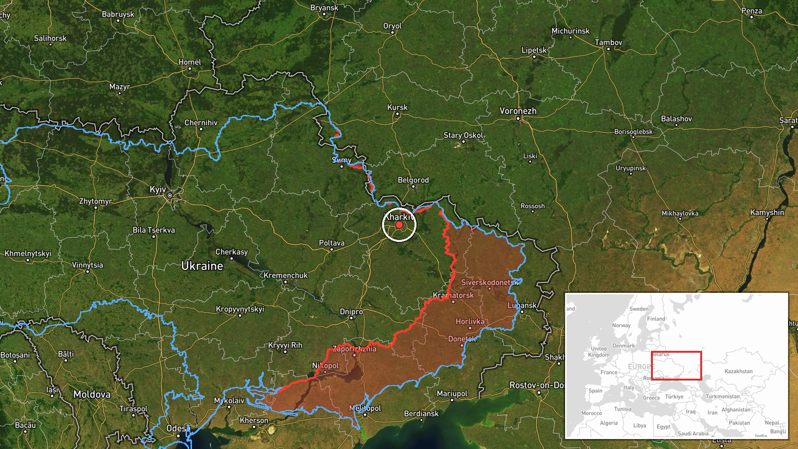
What happened
Ukrainian air monitoring, relayed on the Telegram channel @kpszsu, reported at 07:39 UTC on 23 October 2026 that two or more jet-powered Russian Shahed-type drones, identified in the summary as Geran-3, were moving past Bliznyuky in Kharkiv Oblast and heading north. The original Ukrainian-language post describes jet-powered unmanned aerial vehicles passing the settlement in a northern direction. The report does not mention any impact, casualties, or damage on the ground. Because it rests on a single channel and does not name a launch point or intended target, the details depend entirely on that one post. The event is classified as a drone transit rather than a strike, and attribution to Russia follows from the Shahed-type designation used in the report.
Context and assessment
Kharkiv Oblast sits on the northeastern edge of Ukraine, close to the Russian border, and Kharkiv city has been a recurring focus of Russian long-range drone and glide-bomb activity throughout the war. The related reports from the same day show a sustained sequence. At 00:19 UTC a guided glide bomb was reported over the oblast, followed at 03:13 by jet-powered Geran-3 drones over Kharkiv itself, then single and multiple Shahed-type drones heading toward the city at 06:49, 07:29 and 07:52. The Bliznyuky report fits that pattern as one segment of a wider stream rather than an isolated sighting. A drone reported heading north after passing a settlement west of the city may indicate a routing change, a decoy or a reorientation toward other axes, but the data does not confirm any of these possibilities. The jet-powered variant is generally faster than piston-engined Shahed models, which can shorten warning times for civilians and air defence crews. Any inference about the drones' ultimate destination should be treated as speculative until further reports are available.
Sources and confidence
The event rests on one Telegram channel, @kpszsu, which carries Ukrainian air monitoring messages. No second independent outlet in the provided data reports the same transit, so cross-confirmation is absent. The confidence score of 8.0 reflects a credible official-style monitoring post and consistent surrounding reports in the same oblast, but it is tempered by the single-source basis and the lack of a verified track. Confidence would rise with corroboration from other Ukrainian air force feeds, radar-based tracking, or regional officials, or with reports of detected impacts. It would fall if later updates contradict the heading, the drone type, or the settlement named.
Location
The location is recorded at region level for Kharkiv Oblast, with a low location confidence score. The coordinates given are approximate and do not pin the drones to Bliznyuky itself, which is a small settlement in the oblast. The surrounding terrain is largely flat to gently rolling steppe, with agricultural land and river valleys crossing the region. Kharkiv city lies to the southeast of the reported position, and the oblast's northern border with Russia is a short distance away, which is relevant to the reported northward heading.
Related events nearby
- Ukrainian air monitoring: 2+ Russian jet-powered Shahed (Geran-3) drones heading toward Kharkiv.2026-10-23 07:52 UTC · Drone Transit · Kharkiv, Ukraine
- Ukrainian air monitoring: 1 Russian Shahed-type drone heading toward Kharkiv.2026-10-23 07:29 UTC · Drone Transit · Kharkiv, Ukraine
- Ukrainian air monitoring: 1 Russian Shahed-type drone heading toward Kharkiv.2026-10-23 06:49 UTC · Drone Transit · Kharkiv, Ukraine
- Ukrainian air monitoring: 2+ Russian jet-powered Shahed (Geran-3) drones over Kharkiv.2026-10-23 03:13 UTC · Drone Transit · Kharkiv, Ukraine
- Ukrainian air monitoring: 1 Russian guided glide bomb (KAB) over Kharkiv Oblast.2026-10-23 00:19 UTC · Airstrike · Kharkiv Oblast, Ukraine
▶ View this event on the live map

Intel Mapper aggregates open-source reports from monitored Telegram and X channels, geolocates them, cross-checks duplicates across sources and assigns a confidence score. Entries are updated as new confirmations arrive. Read how we verify events.