Ukrainian air monitoring reports jet-powered Shahed drone heading toward Velyka Dymerka
What happened
Ukraine's Air Force monitoring channel on Telegram reported on 23 October 2026 at 08:37 UTC that one Russian jet-powered Shahed-type drone, described as Geran-3, was heading toward the settlement of Velyka Dymerka. The original Ukrainian post used a short alert format, with a jet-drone icon and the phrase 'from the north', which indicates the direction of approach rather than an impact or damage report. The post describes no strike, casualties, or damage at Velyka Dymerka. The alert sits within a run of similar notices earlier the same day, all concerning the Brovary area, following a ballistic missile warning over Brovary the previous morning. Only one channel carried the report, so the details rest on that single monitoring post.
Context and assessment
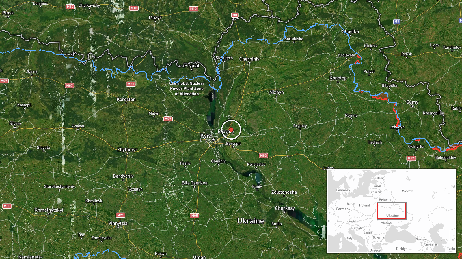
Velyka Dymerka lies in the northeastern approaches to Kyiv, in the same broad zone as Brovary, a town that has appeared repeatedly in the recent sequence. Repeated transit alerts over a common corridor usually suggest drones tracking toward the capital or routing through the area toward other targets. The Geran-3 is a jet-powered variant of the Shahed design, generally faster than the piston-engined versions and harder for legacy gun systems to engage, which is why such alerts are treated seriously even when no impact is reported. Four Geran-3 or Shahed-type transit alerts over Brovary between 00:19 and 07:13 were followed by this alert over Velyka Dymerka, which may indicate a change in routing, a second cluster of targets, or simply a different flight path through the same airspace. The ballistic missile over Brovary on 22 October shows the area has been under pressure from more than one weapon type within a short period. Operationally, these alerts are best read as warnings of possible flight paths rather than confirmation of intended targets, and the intent behind this particular drone remains unknown.
Sources and confidence
All details come from a single Telegram channel, @kpszsu, which publishes Ukrainian air monitoring alerts. The confidence score of 8.0 reflects the channel's role as an official-style monitoring source and its consistency with the related alerts in the Brovary sequence. It is not higher because there is no independent confirmation from other monitoring accounts, regional authorities, radar-based reporting, or media coverage, and the post describes a drone's heading rather than an observed impact. Confidence would rise with corroborating posts from other monitoring channels, statements from regional military administrations, or reports of impact. It would fall if the alert were updated, retracted, or contradicted by later official information.
Location
The location is recorded at settlement level for Velyka Dymerka in Brovary district of Kyiv Oblast, and location confidence is marked high because the settlement name appears directly in the alert. The coordinates point to the settlement itself rather than a specific facility. The setting is flat to gently undulating lowland in the Dnipro basin north of Kyiv, with farmland, woodland patches, and road and rail links running toward the capital and to the nearby towns of the district.
Related events nearby
- Ukrainian air monitoring: 1 Russian jet-powered Shahed (Geran-3) drone heading toward Brovary.2026-10-23 07:13 UTC · Drone Transit · Brovary, Ukraine
- Ukrainian air monitoring: 1 Russian jet-powered Shahed (Geran-3) drone heading toward Brovary.2026-10-23 05:28 UTC · Drone Transit · Brovary, Ukraine
- Ukrainian air monitoring: 1 Russian jet-powered Shahed (Geran-3) drone heading toward Brovary.2026-10-23 03:09 UTC · Drone Transit · Brovary, Ukraine
- Ukrainian air monitoring: 1 Russian Shahed-type drone heading toward Brovary.2026-10-23 00:19 UTC · Drone Transit · Brovary, Ukraine
- Ukrainian air monitoring: 1 Russian ballistic missile over Brovary.2026-10-22 09:40 UTC · Ballistic Missile · Brovary, Ukraine
▶ View this event on the live map

Intel Mapper aggregates open-source reports from monitored Telegram and X channels, geolocates them, cross-checks duplicates across sources and assigns a confidence score. Entries are updated as new confirmations arrive. Read how we verify events.