Single jet-powered Geran-3 drone reported heading toward northern Zhytomyr Oblast, Ukraine
What happened
Ukrainian air monitoring channel @kpszsu reported on Telegram on 23 October 2026, at about 08:50 UTC, that one Russian jet-powered Shahed (Geran-3) drone was moving toward northern Zhytomyr Oblast. The post was short and carried the wording of an air alert rather than a description of impact. The source did not report any strike, casualties, or damage in the message. The original text, in Ukrainian, reads roughly as 'Jet-powered UAV to the north of Zhytomyr region,' and the report describes a transit movement rather than a confirmed attack on a particular target. Because the channel is the only source logged for this entry, the report should be read as a monitoring notice.
Context and assessment
Northern Zhytomyr Oblast sits on one of the main air corridors that Russian long-range drones have used to cross northern Ukraine toward the west and centre. Korosten, a rail and logistics hub in the area, appears repeatedly in the related reports. Within roughly the previous sixteen hours, the monitoring feed logged several separate Geran-3 movements: two or more drones passing the region westward on 22 October, one drone heading toward Korosten early on 23 October, and further drones heading toward Korosten and then out of Zhytomyr Oblast later that morning. A single drone moving north from Kyiv Oblast into Zhytomyr Oblast fits the same pattern of staggered, small-group flights. Taken together, the sequence suggests sustained probing or routing of drones across the region rather than a single isolated launch. The jet-powered variant is faster and harder to intercept than the older piston-engined Shahed, so its presence is consistent with efforts to saturate or test air defences along transit lanes. Any intended target cannot be determined from this record alone.
Sources and confidence
The report comes from one Telegram channel, @kpszsu, which relays Ukrainian air-force style monitoring messages. No second outlet or official confirmation is linked to this entry, so cross-confirmation is absent. The confidence score of 8.0 reflects a specific, time-stamped, official-style alert with a clear drone type, yet it stays below higher values because it rests on a single channel and describes only a transit movement. Confidence would rise if the air force, a regional administration, or independent monitors reported the same track, or if wreckage or an impact were documented. It would fall if later updates revised the drone count, showed the track ended elsewhere, or if the channel's original post were corrected.
Location
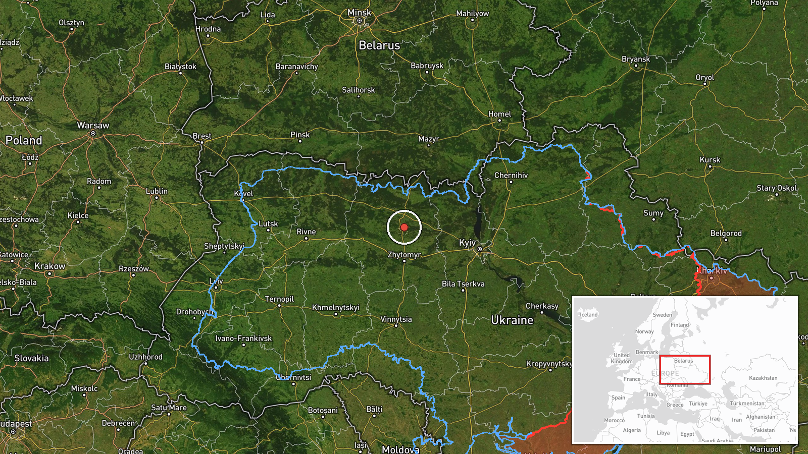
The location is recorded as northern Zhytomyr Oblast, a region-level point at approximately 50.795 N, 28.660 E, with low location confidence. The coordinates do not mark a settlement, facility, or confirmed flight path, so the pin should be treated as an approximate center of the area named in the alert. The region lies in north-central Ukraine, bordering Belarus to the north, and is largely flat terrain of farmland, forest, and marsh, with the Teteriv and Irsha river valleys running through it. Korosten, a nearby rail junction, is one of the reference points in related reports.
Related events nearby
- Ukrainian air monitoring: 1 Russian jet-powered Shahed (Geran-3) drone from northern Kyiv Oblast toward northe2026-10-23 07:08 UTC · Drone Transit · northern Zhytomyr Oblast, Ukraine
- Ukrainian air monitoring: 2+ Russian jet-powered Shahed (Geran-3) drones passing northern Zhytomyr Oblast, hea2026-10-22 17:54 UTC · Drone Transit · northern Zhytomyr Oblast, Ukraine
- Ukrainian air monitoring: 1 Russian jet-powered Shahed (Geran-3) drone from Zhytomyr Oblast toward Korosten.2026-10-23 07:38 UTC · Drone Transit · Korosten, Ukraine
- Ukrainian air monitoring: 2+ Russian jet-powered Shahed (Geran-3) drones heading toward Korosten.2026-10-23 06:41 UTC · Drone Transit · Korosten, Ukraine
- Ukrainian air monitoring: 1 Russian jet-powered Shahed (Geran-3) drone heading toward Korosten.2026-10-23 00:18 UTC · Drone Transit · Korosten, Ukraine
▶ View this event on the live map

Intel Mapper aggregates open-source reports from monitored Telegram and X channels, geolocates them, cross-checks duplicates across sources and assigns a confidence score. Entries are updated as new confirmations arrive. Read how we verify events.