Ukrainian air monitoring reports a Russian Geran-3 jet drone transiting Lviv Oblast northwest
What happened
Ukrainian air monitoring reports a single Russian jet-powered Shahed-type drone, identified in the message as a Geran-3, passing near Peremyshliany in Lviv Oblast in western Ukraine and heading northwest. The report was posted at 09:08 UTC on 23 October 2026 on the Telegram channel @kpszsu, which carries Ukrainian air-threat notices. The original post is in Ukrainian, using the word for jet-powered and an arrow indicating direction of travel. The message describes a transit rather than a strike. It does not report impact, damage, casualties or interception. The description of the drone's type and origin follows the wording of the warning and has not been independently verified against wreckage or other imagery.
Context and assessment
Peremyshliany lies in Lviv Oblast, southeast of the regional capital, in a part of western Ukraine that is close to the Polish border and serves as a corridor for rail, road and logistics traffic. Lviv itself is a major transit and administrative hub, so air-threat warnings there are a recurring feature of Russian long-range drone activity. The related events show a broader pattern on the same day. Between 01:40 and 06:53 UTC, separate reports described Shahed-type drones near Radekhiv, Kulykiv, Khodoriv, Lviv city and Burshtyn in Ivano-Frankivsk Oblast. The Radekhiv report began with a drone coming from Rivne Oblast, which suggests a track entering from the north and moving through the region over several hours. The reports cannot establish whether they describe one airframe or several, and the sequence in the data does not confirm a single continuous route. Operationally, sustained transit reports across multiple oblasts may indicate routing toward western Ukrainian targets, or may reflect air-defence movements and drawing of attention. The data alone does not establish the intended target, and this entry should be read as a monitoring notice rather than evidence of a specific objective.
Sources and confidence
The event rests on a single Telegram channel, @kpszsu, and the data contains no independent confirmation from another outlet, regional authority, or official statement. The related events are drawn from the same type of air-monitoring reporting and are mutually consistent in describing Shahed-type transits, which adds context but does not independently verify this specific track. The confidence score of 8.0 likely reflects the official-origin nature of the channel and the concordance of the wider reporting pattern, offset by single-source status and low location precision. Confidence would rise with corroboration from a regional military administration, a Ukrainian Air Force statement, or a credible report of sighting or debris near the stated area. It would fall if the track was retracted, corrected, or contradicted by other monitoring reports.
Location
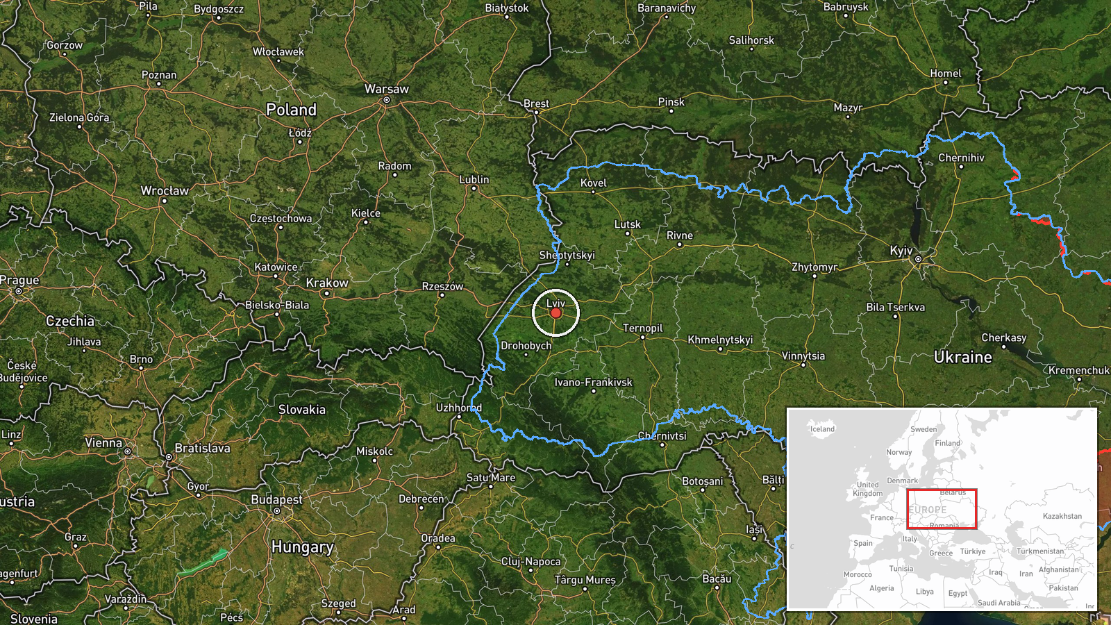
The coordinates given, 49.84 N and 24.03 E, are region-level and sit closer to Lviv city than to Peremyshliany, so the point should be treated as approximate within Lviv Oblast. The named settlement is the most specific place reference in the source. The surrounding area is largely agricultural and wooded, with rolling terrain. The Dniester river basin lies to the south-east, and the Polish border is to the west, making the region a frequent route for traffic between Ukraine and the European Union.
Related events nearby
- Ukrainian air monitoring: 1 Russian jet-powered Shahed (Geran-3) drone over Lviv.2026-10-23 05:18 UTC · Drone Transit · Lviv, Ukraine
- Ukrainian air monitoring: 1 Russian jet-powered Shahed (Geran-3) drone passing Kulykiv, heading toward Lviv.2026-10-23 01:49 UTC · Drone Transit · Lviv, Ukraine
- Ukrainian air monitoring: 1 Russian jet-powered Shahed (Geran-3) drone passing Khodoriv, heading west.2026-10-23 03:30 UTC · Drone Transit · Khodoriv, Ukraine
- Ukrainian air monitoring: 1 Russian jet-powered Shahed (Geran-3) drone from Rivne Oblast toward Radekhiv.2026-10-23 01:40 UTC · Drone Transit · Radekhiv, Ukraine
- Ukrainian air monitoring reports a Russian Shahed-type drone heading toward Burshtyn, Ivano-Frankivsk Oblast.2026-10-23 06:53 UTC · Drone Transit · Burshtyn, Ivano-Frankivsk Oblast, Ukraine
▶ View this event on the live map

Intel Mapper aggregates open-source reports from monitored Telegram and X channels, geolocates them, cross-checks duplicates across sources and assigns a confidence score. Entries are updated as new confirmations arrive. Read how we verify events.