Jet-powered Shahed (Geran-3) drone tracked in Dnipro area, Ukraine, per air monitoring report
What happened
Ukrainian air monitoring reported on 23 October 2026 at 09:50 UTC that a single jet-powered drone, described in the summary as a Russian Shahed-type Geran-3, was tracked in the Dnipro area of Dnipropetrovsk Oblast. The original Ukrainian-language post, published on the Telegram channel @kpszsu, uses the more generic wording 'Реактивний БпЛА', meaning a jet-powered unmanned aerial vehicle, and names the city only as 'м.Дніпро'. The report does not mention impacts, casualties, damage, or an interception. The event record attributes the drone to Russia. The information comes from a single channel and has not yet been independently confirmed by a second source.
Context and assessment
Dnipro is a large industrial city on the Dnipro River and a regional hub in central-eastern Ukraine, so repeated air activity there carries significance beyond the immediate track. The related events show a sustained sequence on the same day. At 05:47 UTC, two or more Geran-3 drones were reported heading toward Dnipro. Single-drone reports followed at 06:44 and 06:58, the latter describing one drone over the city. At 08:35, a guided glide bomb was reported heading toward Dnipropetrovsk Oblast, and at 09:36 another Geran-3 was reported passing Synelnykove and heading toward Dnipro. This pattern of successive single or small groups along a common approach suggests rolling long-range drone flights rather than one isolated launch. Operationally, such tracks may be intended to keep air defence units engaged and to probe approach routes, though the data alone does not establish intent. Jet-powered variants are generally faster than the earlier piston-engine Shahed design, which could shorten warning times for defenders. These reports are best read as indicators of sustained activity rather than confirmed targeting.
Sources and confidence
The event rests on one Telegram channel, @kpszsu, attributed to Ukrainian air monitoring, and its single post is the only source listed. Cross-confirmation status is therefore unconfirmed. The confidence score of 8.0 reflects a credible channel posting specific, timestamped reports, and a consistent sequence of related reports on the same day. It is held below the maximum because no second independent source is cited and the post contains no impact information. Confidence would rise with corroboration from another monitoring body, regional military administration statements, or open-source flight tracking. It would fall if later updates contradicted the drone type or the location.
Location
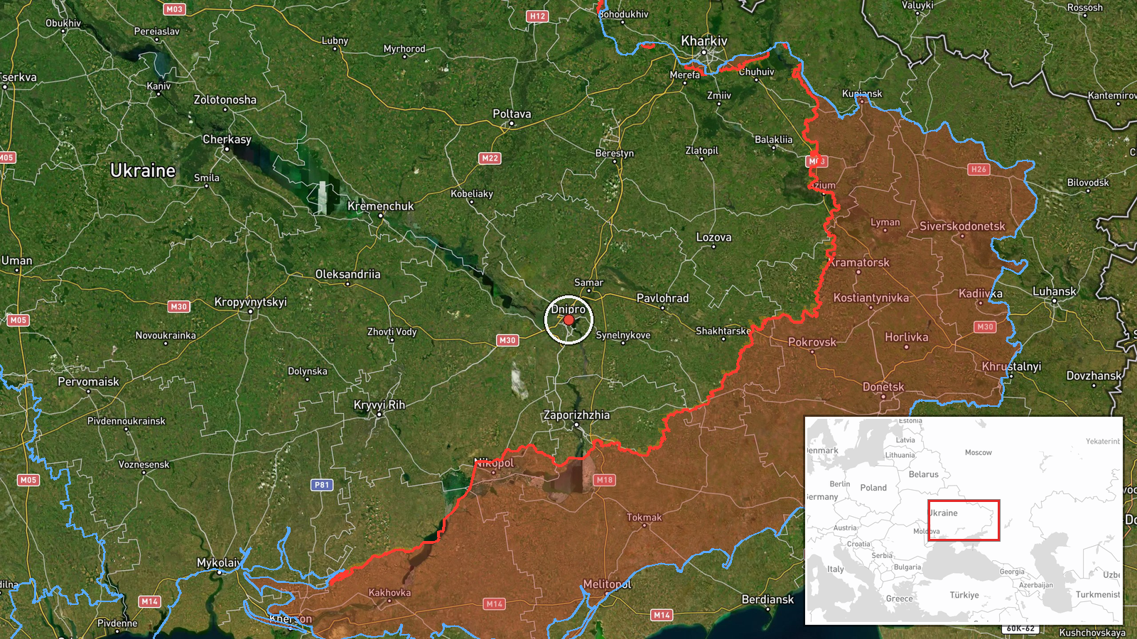
The location is recorded at settlement level, with coordinates placed at the centre of Dnipro, because the source names only the city. No street or facility is identified, so the point should be read as the city as a whole. Dnipro lies on the Dnipro River in Dnipropetrovsk Oblast, in central-eastern Ukraine. The river valley and surrounding urban area shape local air movement and the approach corridors used by drones tracked toward the city.
Related events nearby
- Ukrainian air monitoring: 1 Russian jet-powered Shahed (Geran-3) drone passing Synelnykove, heading toward Dni2026-10-23 09:36 UTC · Drone Transit · Dnipro, Ukraine
- Ukrainian air monitoring: 1 Russian jet-powered Shahed (Geran-3) drone over Dnipro.2026-10-23 06:58 UTC · Drone Transit · Dnipro, Ukraine
- Ukrainian air monitoring: 1 Russian jet-powered Shahed (Geran-3) drone heading toward Dnipro.2026-10-23 06:44 UTC · Drone Transit · Dnipro, Ukraine
- Ukrainian air monitoring: 2+ Russian jet-powered Shahed (Geran-3) drones heading toward Dnipro.2026-10-23 05:47 UTC · Drone Transit · Dnipro, Ukraine
- Ukrainian air monitoring: 1 Russian guided glide bomb (KAB) heading toward Dnipropetrovsk Oblast.2026-10-23 08:35 UTC · Airstrike · Dnipropetrovsk Oblast, Ukraine
▶ View this event on the live map

Intel Mapper aggregates open-source reports from monitored Telegram and X channels, geolocates them, cross-checks duplicates across sources and assigns a confidence score. Entries are updated as new confirmations arrive. Read how we verify events.