Ukrainian air monitoring reports one Russian glide bomb heading toward Dnipropetrovsk Oblast
What happened
Ukrainian air monitoring reported on Telegram that one Russian guided aerial bomb, known as a KAB, was heading toward Dnipropetrovsk Oblast in eastern-central Ukraine at about 08:35 UTC on 23 October 2026. The original post, written in Ukrainian, referred to KABs moving toward Zaporizhzhia Oblast and Dnipropetrovshchyna, the colloquial name for the region, and the English summary narrows the count to a single bomb. The report does not say whether the munition struck, where it landed, or whether anyone was hurt. It is a warning of an inbound threat rather than a confirmed impact, and the attribution to Russia rests on the monitoring channel's framing.
Context and assessment
Dnipropetrovsk Oblast has been a recurring destination for Russian long-range and glide-bomb activity because it lies between the southern and eastern front lines and the industrial core around Dnipro, a large city with defense plants, rail junctions and logistics hubs. Glide bombs released by aircraft at standoff distance let attackers strike without entering the envelope of many air defense systems, and they are most often associated with frontline districts, so a KAB heading into this oblast may reflect the reach of Russian aviation operating near the Zaporizhzhia axis. The related reports from the same day show a sustained stream of jet-powered Geran-3 drones tracked toward Dnipro from about 05:47 UTC, with further transits passing Synelnykove district heading northwest. A later drone report at 08:50 UTC, placing a drone from Dnipropetrovsk Oblast toward Yavornytske, falls after the bomb warning, so the sequence is not strictly linear. Taken together, the pattern may indicate a multi-axis effort in which different aerial munitions are used to stretch Ukrainian air defense and monitoring. This is an inference from timing and placement, not a confirmed plan. Because the related reports come from the same monitoring stream, they reinforce one another without independently verifying targets.
Sources and confidence
All information comes from a single Telegram channel, @kpszsu, which is the official channel of the Ukrainian Air Force, and the related drone transit reports appear to derive from the same air monitoring stream. No independent outlet, satellite imagery, or second channel has been identified in the data, so cross-confirmation is absent. The confidence score of 8.0 reflects an official source posting in near real time, but it stays below the maximum because the report describes a projectile in flight rather than an observed impact. Confidence would rise with reports of impact, statements from regional authorities, or independent imagery. It would fall if the bomb was later reported as intercepted, diverted, or never launched.
Location
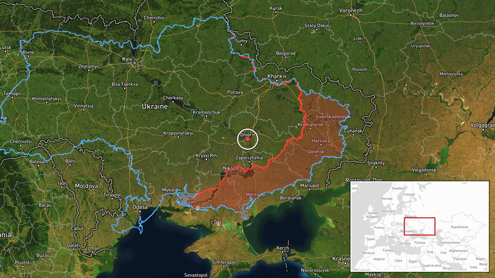
The location is recorded at region level, so the coordinates reflect a reference point for Dnipropetrovsk Oblast rather than a specific settlement, facility, or impact site. The point sits near Dnipro city, but the low location confidence means it should not be read as the intended target. The oblast is largely steppe terrain drained by the Dnipro River, with farmland, industrial towns, and proximity to Zaporizhzhia Oblast to the south.
Related events nearby
- Ukrainian air monitoring: 1 Russian jet-powered Shahed (Geran-3) drone over Dnipro.2026-10-23 06:58 UTC · Drone Transit · Dnipro, Ukraine
- Ukrainian air monitoring: 1 Russian jet-powered Shahed (Geran-3) drone heading toward Dnipro.2026-10-23 06:44 UTC · Drone Transit · Dnipro, Ukraine
- Ukrainian air monitoring: 2+ Russian jet-powered Shahed (Geran-3) drones heading toward Dnipro.2026-10-23 05:47 UTC · Drone Transit · Dnipro, Ukraine
- Ukrainian air monitoring: 1 Russian jet-powered Shahed (Geran-3) drone from Dnipropetrovsk Oblast toward Yavor2026-10-23 08:50 UTC · Drone Transit · Yavornytske, Ukraine
- Ukrainian air monitoring: 2+ Russian jet-powered Shahed (Geran-3) drones passing Synelnykove district, heading2026-10-23 07:32 UTC · Drone Transit · Synelnykove district, Ukraine
▶ View this event on the live map

Intel Mapper aggregates open-source reports from monitored Telegram and X channels, geolocates them, cross-checks duplicates across sources and assigns a confidence score. Entries are updated as new confirmations arrive. Read how we verify events.