Russian Shahed-136 drone transiting Kyiv Oblast near Teremky and Boryspil
What happened
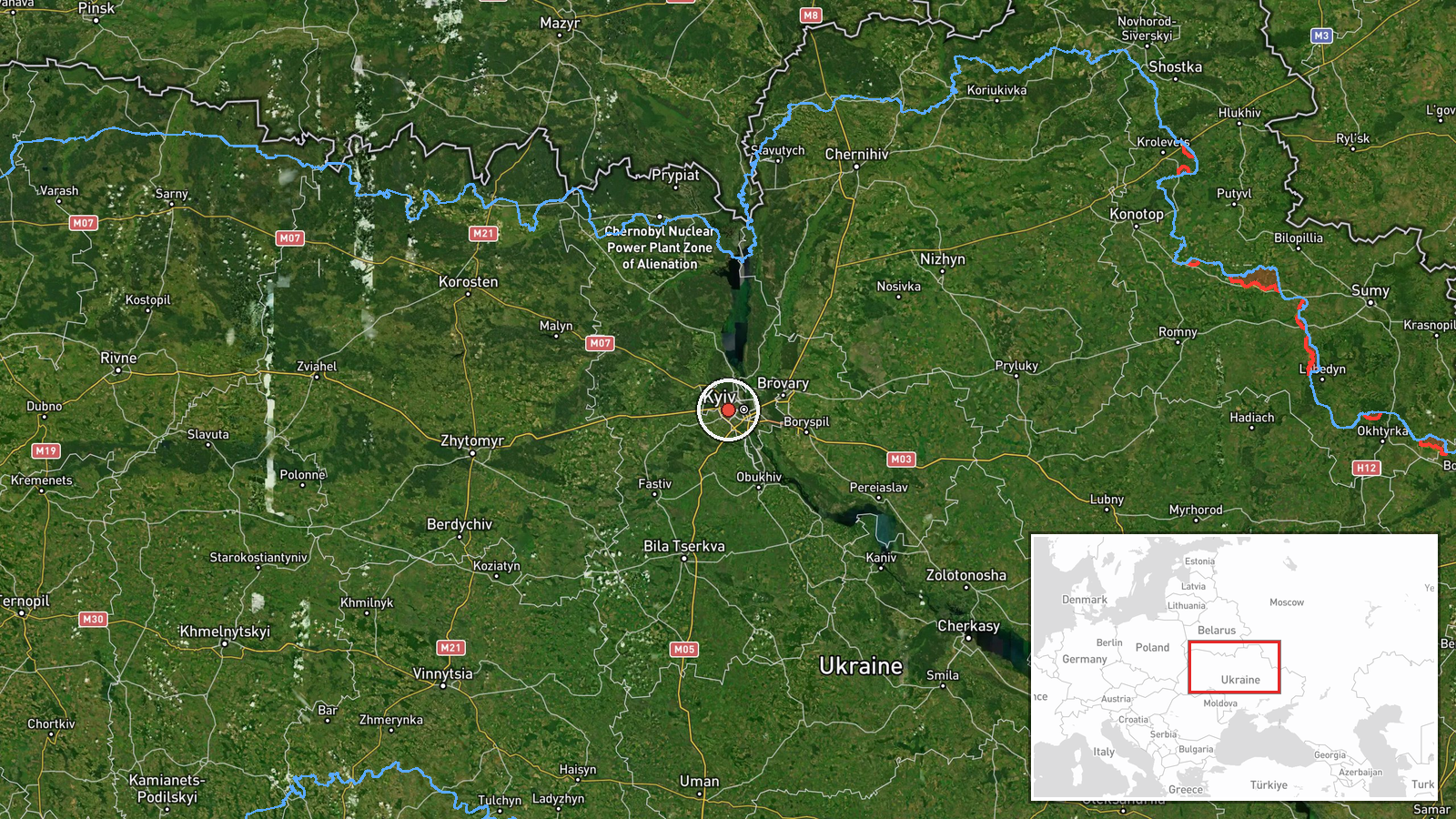
A Russian Shahed-136 kamikaze drone was detected transiting Kyiv Oblast on the morning of 10 September 2026, reportedly moving through airspace near the settlements of Teremky and in the Boryspil sector. The detection was reported via Telegram by war monitoring channels tracking Russian air operations. The report places the sighting at approximately 07:11 UTC. No interception or strike outcome is specified in the available reporting.
Context and assessment
The detection continues an intensive pattern of Russian drone operations against Kyiv region observed over 9–10 September. Ukrainian air defense reported intercepting 165 enemy drones and missiles overnight on 8–9 September, while reactive (jet-powered) Shahed-136 variants were separately tracked approaching Kyiv and striking Makariv in Kyiv Oblast. Teremky and Boryspil lie on approaches to Kyiv from the southeast and east respectively. The sustained volume and frequency of such transits suggests Russian forces are maintaining reconnaissance and strike pressure on the capital region, possibly supporting broader operational planning alongside recent diplomatic escalation rhetoric from Moscow regarding territorial demands.
Sources and confidence
Single Telegram channel (@war_monitor) reported the detection. No cross-confirmation from official Ukrainian air defense statements or other independent monitors is noted in available data. Confidence score of 6.0 reflects the single-source status and lack of outcome confirmation. Score would increase with statements from the Ukrainian Air Force or SBU; it would lower if later reports contradicted the location or timing.
Location
Teremky and Boryspil sector, Kyiv Oblast, Ukraine. Teremky is a settlement approximately 25–30 km southeast of central Kyiv near the Dnieper River. Boryspil (Hostomel) sector lies east and southeast of the capital, encompassing airfield infrastructure and approach corridors. Both locations are on typical Russian drone ingress routes into the Kyiv metropolitan area.
Related events nearby
- Ukrainian air defense system activated and defensive posture maintained in Kyiv region. Air raid alert issued 2026-09-10 18:25 UTC · Siren · Kyiv, Kyiv Oblast, Ukraine
- Ukrainian air defense monitoring detected one Russian Shahed-136 jet-powered kamikaze drone transiting over Ob2026-09-10 15:33 UTC · Drone Transit · Obolonsky District, Kyiv, Ukraine
- Greek media Pentapostagma reports secret UAV technology cooperation agreement between Ukraine and Syria. Ukrai2026-09-10 07:40 UTC · Diplomacy · Kyiv, Ukraine
- Ukrainian air defense monitoring detected two Russian Shahed-136 jet-powered kamikaze drones transiting past D2026-09-10 17:58 UTC · Drone Transit · Krukovshchyna, Kyiv Oblast, Ukraine
- Russian Shahed-type reactive drones detected in transit around Brovary, Kyiv Oblast. Drones tracked heading to2026-09-11 06:38 UTC · Drone Transit · Kyiv Oblast, Ukraine
▶ View this event on the live map
Intel Mapper aggregates open-source reports from monitored Telegram and X channels, geolocates them, cross-checks duplicates across sources and assigns a confidence score. Entries are updated as new confirmations arrive. Read how we verify events.