Russian Shahed drones transit past Dimer toward Kyiv; no impacts reported
What happened
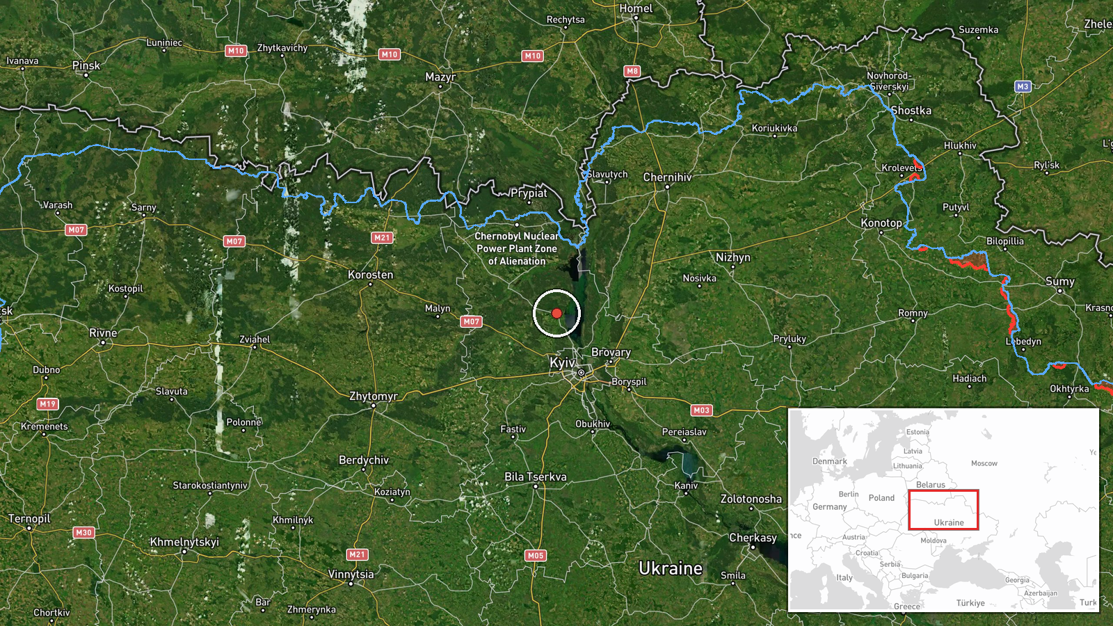
Ukrainian air defense monitoring detected two Russian Shahed-136 jet-powered kamikaze drones passing near Dimer in Kyiv Oblast on September 10 at 17:58 UTC, flying in the direction of Kyiv. No impact or interception was reported. The drones were identified as reactive aircraft, consistent with the Shahed-136 loitering munition platform typically used in Russian strikes against Ukrainian infrastructure and military targets.
Context and assessment
This transit represents part of an intensifying pattern of Russian drone operations over the Kyiv region on September 10. Earlier that day, similar Shahed-136 detections occurred near Teremky and in the Boryspil sector at 07:11 UTC, and another drone was tracked over Obolonsky District in Kyiv at 15:33 UTC. The repeated transits suggest either a sustained reconnaissance campaign, preparation for attacks, or attempts to probe Ukrainian air defenses. Dimer lies approximately 25 kilometers northeast of central Kyiv, positioning it as a likely waypoint for drones approaching the capital. The absence of reported impacts may indicate successful Ukrainian interception or the drones' transit through the region without engagement.
Sources and confidence
Single source: Telegram channel @war_monitor (war_monitor). No cross-confirmation from other channels or official Ukrainian sources noted. Confidence score of 6.0 reflects dependence on a single reporting channel. Confidence would increase with corroboration from official Ukrainian air defense statements or secondary channel reports; it would decrease if later reporting contradicted the sighting or trajectory.
Location
Dimer is a settlement in Kyiv Oblast located approximately 25 kilometers northeast of central Kyiv, situated along the Dnieper River's left bank. The settlement lies near major transport corridors and has been a historically significant logistics hub. The location was determined to settlement-level precision with high confidence based on geographic coordinates (50.7864°N, 30.3038°E).
Related events nearby
- Russian Shahed-136 kamikaze drone detected transiting Kyiv Oblast near Teremky and Boryspil sector. Ongoing Ru2026-09-10 07:11 UTC · Drone Transit · Teremky, Kyiv, Ukraine
- Ukrainian air defense monitoring reports overnight threat assessment for Ukraine (night of 10 September 2026).2026-09-09 18:54 UTC · Siren · Kyiv, Ukraine
- Ukrainian air defense system activated and defensive posture maintained in Kyiv region. Air raid alert issued 2026-09-10 18:25 UTC · Siren · Kyiv, Kyiv Oblast, Ukraine
- Ukrainian air defense monitoring detected one Russian Shahed-136 jet-powered kamikaze drone transiting over Ob2026-09-10 15:33 UTC · Drone Transit · Obolonsky District, Kyiv, Ukraine
- Greek media Pentapostagma reports secret UAV technology cooperation agreement between Ukraine and Syria. Ukrai2026-09-10 07:40 UTC · Diplomacy · Kyiv, Ukraine
▶ View this event on the live map
Intel Mapper aggregates open-source reports from monitored Telegram and X channels, geolocates them, cross-checks duplicates across sources and assigns a confidence score. Entries are updated as new confirmations arrive. Read how we verify events.