Ukraine reports elevated ballistic threat and Shahed drone attacks across four oblasts
What happened
Ukrainian air defense monitoring issued a threat assessment for the night of September 10, 2026, reporting single Shahed-136 reactive drones attacking Kyiv, Zhytomyr, Sumy, and Kharkiv oblasts. The assessment indicated no strategic aviation activity but flagged elevated medium-level ballistic missile threats overnight. Additional drone launches from Donets'k and Oryol were expected during the period. The report was issued via Telegram by @war_monitor, a Ukrainian monitoring channel.
Context and assessment
The threat assessment reflects sustained Russian drone and missile pressure on Ukrainian population centers. Recent overnight interception of 165 enemy drones and air-launched weapons on September 8–9 demonstrates the intensity of ongoing strikes. Shahed-136 attacks on multiple oblasts simultaneously indicate either distributed launch operations or multiple salvos; these one-way kamikaze drones typically target fixed infrastructure and civilian areas. The elevated ballistic missile threat follows Russian Foreign Minister Lavrov's escalatory rhetoric on September 9 regarding territorial demands, potentially signaling coordinated military messaging. The geographic spread across Kyiv, Zhytomyr, Sumy, and Kharkiv suggests either dispersed targeting or air defense pressure testing.
Sources and confidence
Single source: Telegram channel @war_monitor, a Ukrainian air defense monitoring outlet. No cross-confirmation from NATO, Ukrainian official channels, or independent verification noted in provided data. Confidence score of 6.0 reflects reliance on single Ukrainian source without independent corroboration. Confirmation by official Ukrainian defense statements or NATO assessments would strengthen confidence; contradictory reports from multiple independent sources would lower it.
Location
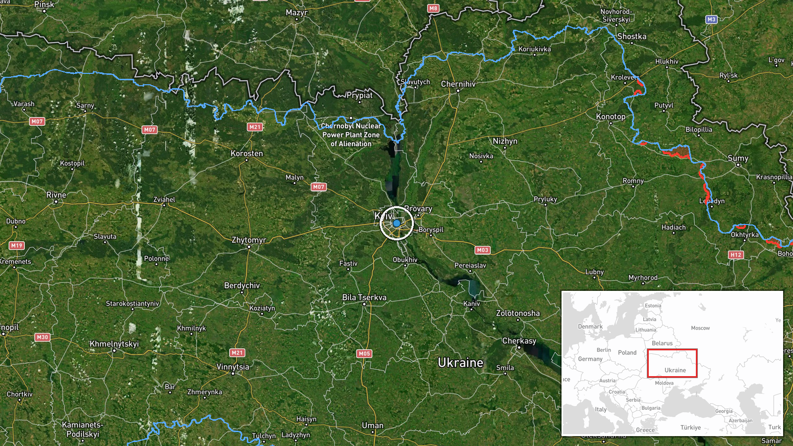
Assessment covers four Ukrainian oblasts: Kyiv (central), Zhytomyr (northwest of Kyiv), Sumy (northeast), and Kharkiv (east). Geographic precision is regional rather than point-specific. Launch sites identified as Donets'k (Russian-occupied) and Oryol (Russian territory, approximately 500 km northeast of Kyiv), indicating long-range launch capabilities.
Related events nearby
- Ukrainian air defense system activated and defensive posture maintained in Kyiv region. Air raid alert issued 2026-09-10 18:25 UTC · Siren · Kyiv, Kyiv Oblast, Ukraine
- Greek media Pentapostagma reports secret UAV technology cooperation agreement between Ukraine and Syria. Ukrai2026-09-10 07:40 UTC · Diplomacy · Kyiv, Ukraine
- Ukrainian air defense monitoring detected one Russian Shahed-136 jet-powered kamikaze drone transiting over Ob2026-09-10 15:33 UTC · Drone Transit · Obolonsky District, Kyiv, Ukraine
- Russian Shahed-136 kamikaze drone detected transiting Kyiv Oblast near Teremky and Boryspil sector. Ongoing Ru2026-09-10 07:11 UTC · Drone Transit · Teremky, Kyiv, Ukraine
- Ukrainian air defense monitoring detected two Russian Shahed-136 jet-powered kamikaze drones transiting past D2026-09-10 17:58 UTC · Drone Transit · Krukovshchyna, Kyiv Oblast, Ukraine
▶ View this event on the live map
Intel Mapper aggregates open-source reports from monitored Telegram and X channels, geolocates them, cross-checks duplicates across sources and assigns a confidence score. Entries are updated as new confirmations arrive. Read how we verify events.