Russian jet-powered drone tracked transiting over Fastiv in central Kyiv Oblast
What happened
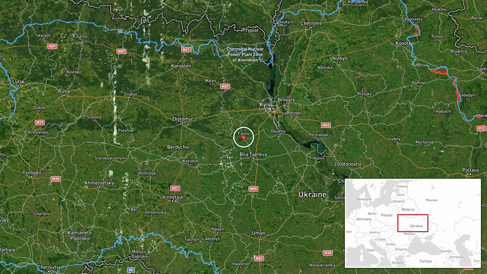
Ukrainian air defense reportedly detected one Russian reactive Shahed-variant drone in transit over Fastiv, Kyiv Oblast, on 15 September at 16:24 UTC. The drone was described as jet-powered and tracked by air monitoring systems. No strike or interception was reported in the initial alert. The observation came as part of ongoing Ukrainian air defense tracking operations across the region.
Context and assessment
Fastiv lies in central Kyiv Oblast, approximately 70 kilometers southwest of Kyiv city. The sighting reflects a pattern of Russian drone activity across the region on 15 September, with three similar reactive Shahed-variant drones detected earlier that morning transiting toward Vasylkiv, further south. These jet-powered variants represent a category of uncrewed systems distinct from earlier Shahed models, suggesting continued Russian experimentation with or deployment of modified aerial platforms. The transit corridor over populated areas in Kyiv Oblast indicates either deliberate routing through defended airspace or targeting of objectives beyond the capital.
Sources and confidence
Reported by Telegram channel @war_monitor on 15 September. Single-source confirmation limits independent verification. Confidence level reflects typical air monitoring alerts from Ukrainian tracking channels, which generally identify drone type and location with reasonable accuracy but lack external cross-confirmation. Corroboration from official Ukrainian General Staff or NATO sources would raise confidence; video evidence or secondary reporting would further strengthen assessment.
Location
Fastiv is a settlement of approximately 20,000 inhabitants in central Kyiv Oblast, situated on the Ros River roughly 70 kilometers southwest of Kyiv. The town serves as a regional administrative and transport hub. Coordinates place the sighting directly over the settlement proper rather than outlying areas. Nearby features include the Kyiv–Lviv railway corridor and regional road networks.
Related events nearby
- Three Russian reactive (jet-powered) Shahed-variant drones detected transiting past Kagarlyk toward Vasylkiv, 2026-09-15 02:25 UTC · Drone Transit · Vasylkiv, Kyiv Oblast, Ukraine
- One Russian reactive (jet-powered) Shahed-variant drone detected transiting toward Podil District, Kyiv. Ukrai2026-09-15 02:41 UTC · Drone Transit · Podil District, Kyiv, Ukraine
- Ukraine inaugurated a memorial sign honoring NBC defense specialists of the Armed Forces on the Alley of Ukrai2026-09-15 12:19 UTC · Statement · Alley of Ukrainian Military, Kyiv, Ukraine
- Russian Foreign Minister Lavrov accuses Ukrainian forces of forcibly conscripting civilians off streets of Kyi2026-09-15 08:46 UTC · Statement · Kyiv, Ukraine
- Ukrainian General Staff reports Russian military casualties exceeded 301,030 killed and wounded since start of2026-09-15 08:04 UTC · Statement · Kyiv, Ukraine
▶ View this event on the live map
Intel Mapper aggregates open-source reports from monitored Telegram and X channels, geolocates them, cross-checks duplicates across sources and assigns a confidence score. Entries are updated as new confirmations arrive. Read how we verify events.