Two Russian Shahed drones detected in transit toward Korosten, Zhytomyr Oblast
What happened
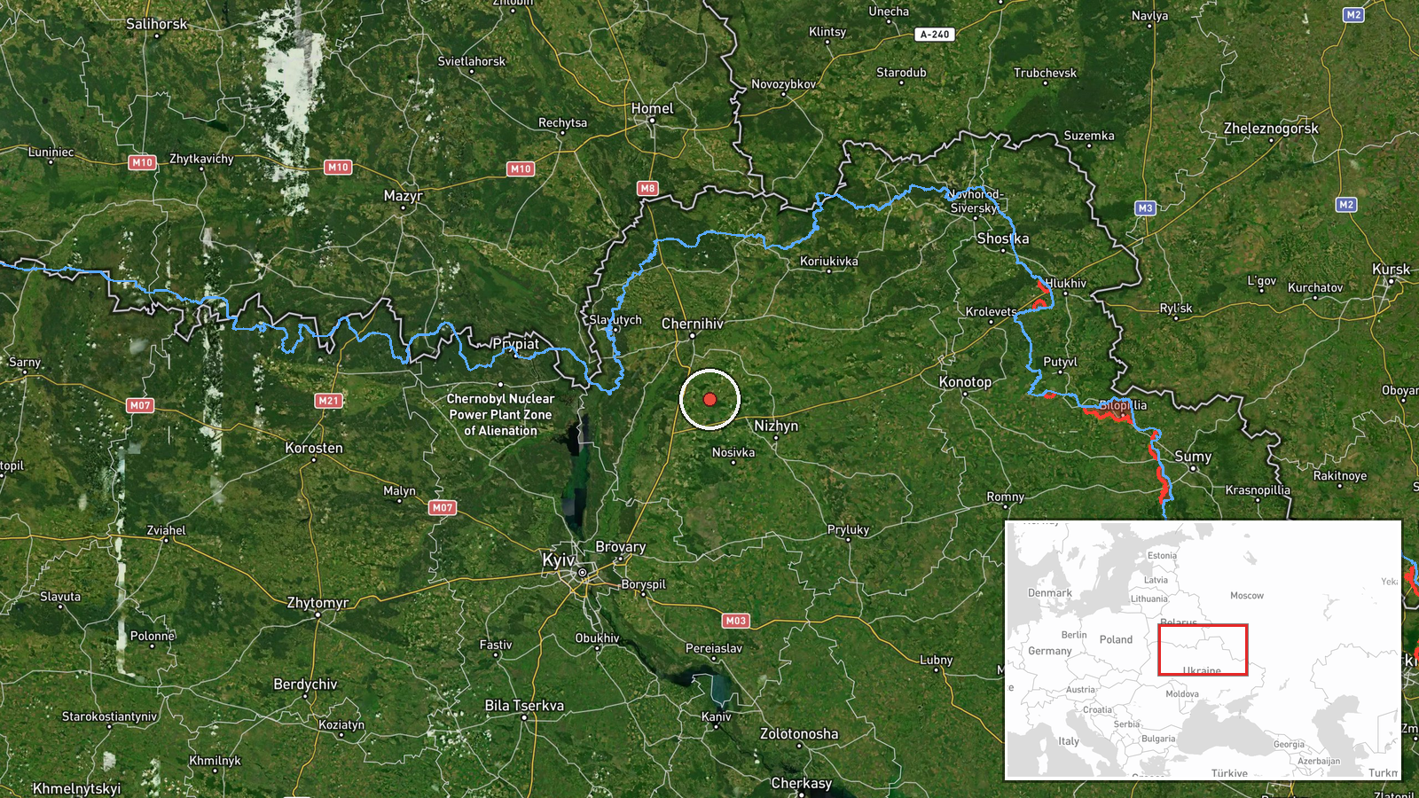
Ukrainian monitoring channels reported two Russian Shahed-type kamikaze drones in flight transit on 17 September at 16:05 UTC, originating from Krasiatichi in Chernihiv Oblast and heading toward Korosten in Zhytomyr Oblast. The drones were identified using the Ukrainian designation 'Banderoль.' The report indicates detection during active flight rather than interception or impact, placing the aircraft en route over northern Ukraine.
Context and assessment
Korosten lies in northwestern Zhytomyr Oblast, approximately 180 kilometers northwest of Kyiv, and serves as a regional transport and administrative hub. This sighting occurs within a sustained pattern of Russian drone strikes across northern and central Ukraine observed throughout 16–17 September, including simultaneous transit reports toward Kyiv Oblast, Brovary District, and Slavutych. The clustering of multiple drone vectors targeting diverse objectives across a wide geographic area suggests a coordinated multi-axis attack campaign. Korosten's position along rail and road networks makes it a potential logistics or infrastructure target. The apparent concentration of drone activity across multiple fronts may indicate Russian attempts to overwhelm Ukrainian air defenses through simultaneous pressure on dispersed targets.
Sources and confidence
Single source: Telegram channel @war_monitor, which specializes in Ukrainian air defense monitoring. No corroborating reports from additional channels or official Ukrainian sources noted in available data. Confidence score of 6.0 reflects typical reliability of dedicated monitoring channels but lack of independent cross-confirmation. Confirmation through Ukrainian official air force statements or follow-up impact reports would substantially increase confidence.
Location
Route determined by reporting channel coordinates: origin Krasiatichi, Chernihiv Oblast (51.22°N, 31.41°E); destination Korosten, Zhytomyr Oblast. Korosten sits in northwestern Ukraine approximately 180 km northwest of Kyiv. The transit corridor passes over central-northern Ukrainian airspace. Geographic precision rated as regional rather than exact impact site, reflecting en-route detection methodology.
Related events nearby
- Russian ballistic missile threat from Bryansk Oblast targeting Kyiv. Kinzhal hypersonic missiles launched from2026-09-16 23:15 UTC · Ballistic Missile · Nizhyn, Chernihiv Oblast, Ukraine
- Four Russian cruise missiles (Shahed/Kalibr-type kamikaze drones, incorrectly labeled 'Banderoль' in source ar2026-09-17 15:37 UTC · Drone Transit · En route: Nizhyn, Chernihiv Oblast → Kyiv Oblast,
- Russian reconnaissance/attack drone (Shahed variant with jet propulsion) detected in transit over Slavutych, K2026-09-17 13:46 UTC · Drone Transit · Slavutych, Kyiv Oblast, Ukraine
- Additional sighting: two Russian jet-powered (reactive) Shahed-variant kamikaze drones transiting toward Brova2026-09-16 21:10 UTC · Drone Transit · Brovary District, Kyiv Oblast, Ukraine
- Russian reconnaissance/attack drone (Shahed variant with jet propulsion) detected in transit over Lukianivka, 2026-09-17 13:39 UTC · Drone Transit · Lukianivka, Podil District, Kyiv, Ukraine
▶ View this event on the live map
Intel Mapper aggregates open-source reports from monitored Telegram and X channels, geolocates them, cross-checks duplicates across sources and assigns a confidence score. Entries are updated as new confirmations arrive. Read how we verify events.