Russian Shahed-type drones detected transiting Kyiv Oblast toward Slavutych and Kremenchuk
What happened
Ukrainian air monitoring detected multiple Russian Shahed-type reactive (jet-powered) drones in transit over Kyiv Oblast on September 20 at 00:09 UTC, reportedly flying toward the Slavutych and Kremenchuk areas. The report came from Telegram channel @war_monitor and notes that air alert monitoring remained active during the transit. No immediate strikes or air defense engagements were mentioned in the initial report.
Context and assessment
This drone transit follows a sustained pattern of Russian unmanned aircraft operations over Kyiv Oblast documented over the preceding 24 hours. Related events show reactive Shahed variants detected over Obukhiv and the Hlevakha/Vasylkiv sector on September 19, alongside interceptions by Ukrainian air defense and SBU forces. The targeting of Slavutych and Kremenchuk—a major industrial and energy hub—suggests continued focus on infrastructure and population centers. Kremenchuk hosts significant refining capacity and thermal power facilities, making it a recurrent Russian target. The sustained drone campaigns appear coordinated with other strike assets, including ballistic missiles and hypersonic cruise missiles detected in the same timeframe, indicating a broader offensive operation against Ukrainian territory.
Sources and confidence
Single source: Telegram channel @war_monitor. No cross-confirmation from official Ukrainian military or SBU channels reported. Confidence score of 6.0 reflects the single-source reporting and lack of secondary verification. Confirmation from Ukrainian Air Force or General Staff statements, or documentation of air defense response, would raise confidence. Any discrepancy with official air alert timelines would lower it.
Location
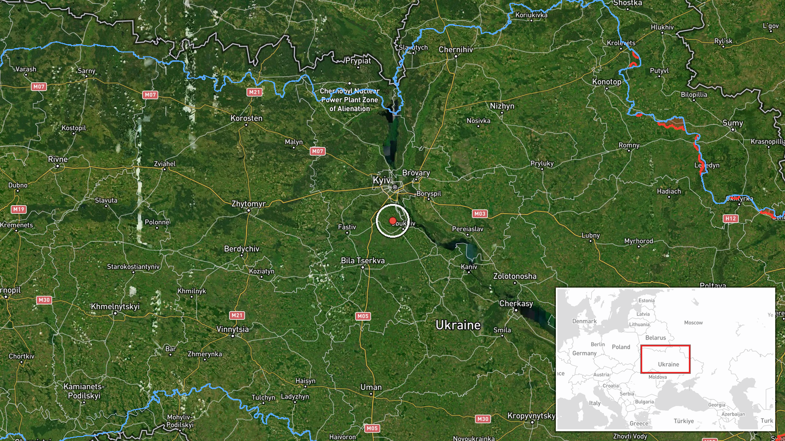
Kyiv Oblast airspace, determined at regional precision level (latitude 50.178595, longitude 30.492488). The coordinates place the reference point near central Kyiv Oblast. Slavutych lies northeast of Kyiv near the Belarus border; Kremenchuk sits approximately 200 km southeast in Poltava Oblast, both accessible via established transit corridors from Russian-controlled airspace.
Related events nearby
- One Russian jet-powered (reactive) Shahed-class kamikaze drone detected transiting from Bryansk Oblast toward 2026-09-19 13:22 UTC · Drone Transit · Slavutych, Kyiv Oblast, Ukraine
- President Zelensky emphasizes Russia as Ukraine's common enemy and calls for European unity, particularly with2026-09-19 19:20 UTC · Statement · Kyiv, Kyiv Oblast, Ukraine
- Ukraine's Defence Minister Yevhen Khmara announced approval of expanded long-range operations in response to R2026-09-19 12:46 UTC · Statement · Kyiv, Kyiv Oblast, Ukraine
- Russian Shahed-type reactive (jet-powered) drone detected in transit over Nemishaeve near Dimer, Kyiv Oblast. 2026-09-20 00:20 UTC · Drone Transit · Nemishaeve, Dimer, Kyiv Oblast, Ukraine
- Russia launched 4x 3M22 'Zircon' cruise missiles at Kyiv in an ongoing attack. Zircon is a hypersonic anti-shi2026-09-19 18:22 UTC · Cruise Missile · Kyiv, Kyiv Oblast, Ukraine
▶ View this event on the live map
Intel Mapper aggregates open-source reports from monitored Telegram and X channels, geolocates them, cross-checks duplicates across sources and assigns a confidence score. Entries are updated as new confirmations arrive. Read how we verify events.