Russian Shahed drones detected transiting around Chernihiv city
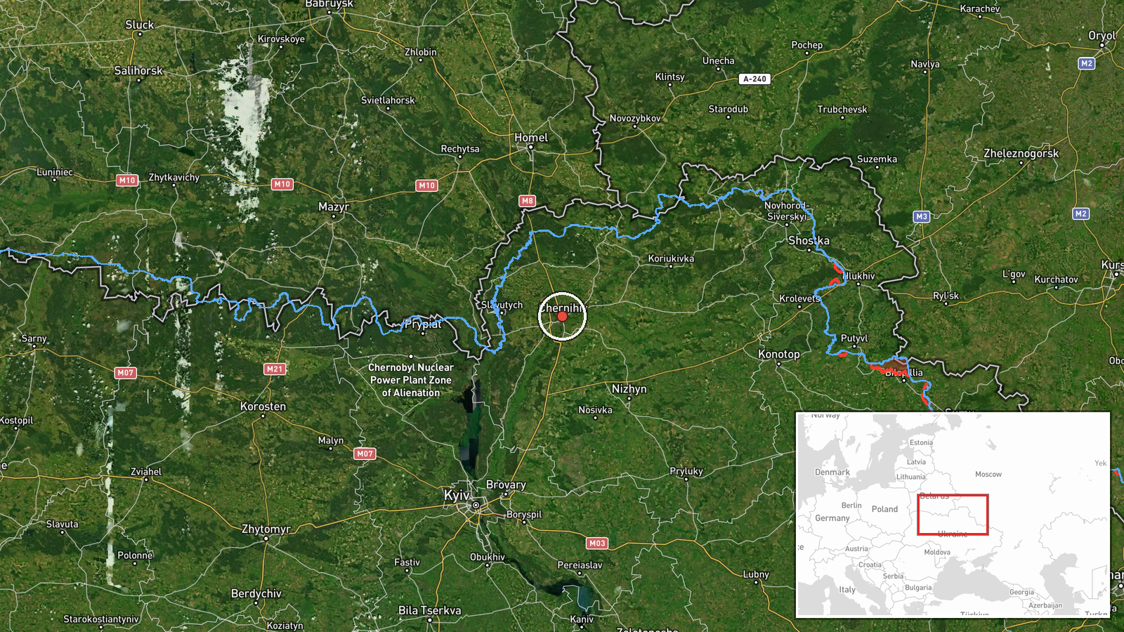
What happened
Ukrainian air monitoring reported detection of two Russian Shahed-136 reactive drones in transit around Chernihiv city on September 22 at 00:10 UTC. The report, issued via Telegram channel @war_monitor, describes the drones circling the city but does not specify any strike impact or final outcome. The drones were identified as jet-propelled Shahed-class unmanned systems, typical of Russian reconnaissance and attack sorties.
Context and assessment
Chernihiv lies in northern Ukraine approximately 140 kilometers northeast of Kyiv, a consistent target zone for Russian air operations. This detection follows a broader pattern of Shahed transits across Chernihiv and Kyiv oblasts on September 21–22, including simultaneous activity around Snovsk and multiple incursions into Kyiv Oblast. Related events show individual strikes (notably one Shahed impact in Brovary on the same date) interspersed with transit movements, suggesting Russian reconnaissance and targeting operations ahead of planned strikes. The clustering of drone activity across multiple northern sectors may indicate preparation for coordinated attack waves or surveillance of military positions.
Sources and confidence
Single source: Telegram channel @war_monitor, a Ukrainian air-monitoring account. No cross-confirmation from independent channels or official Ukrainian defense statements in the dataset. Confidence score of 6.0 reflects single-source reporting and absence of strike confirmation. Score would rise with corroboration from additional monitors or official statement; would lower if subsequent reporting contradicts transit details or location.
Location
Chernihiv city proper, Chernihiv Oblast, northern Ukraine (51.503°N, 31.287°E). Located in the Desna River valley approximately 140 km northeast of Kyiv. Settlement-level precision based on city name; no specific facility or impact site identified. Regional road and rail networks make it a transit corridor and potential surveillance target.
Related events nearby
- Russian reconnaissance drones (Shahed-class jet-propelled UAVs) transited through northern Chernihiv Oblast at2026-09-21 17:10 UTC · Drone Transit · Snovsk, Chernihiv Oblast, Ukraine
- Russian reconnaissance drones (Shahed-class jet-propelled UAVs) transited multiple sectors in Kyiv Oblast: 1x 2026-09-21 16:40 UTC · Drone Transit · Kyiv Oblast, Ukraine
- One Russian Shahed-136 (reactive/jet-powered) drone struck Brovary, Kyiv Oblast. Ukrainian air monitoring dete2026-09-22 00:10 UTC · UAS Strike · Brovary, Kyiv Oblast, Ukraine
- One Russian jet-propelled reconnaissance drone (Shahed-class) transited from Obolonsky District toward Kureniv2026-09-21 17:27 UTC · Drone Transit · Obolonsky District to Kurenivka, Kyiv, Kyiv Oblast
- Ukrainian air monitoring issued all-clear (до відбою / 'all clear') signal over Kyiv region after ballistic mi2026-09-22 01:47 UTC · Siren · Kyiv, Ukraine
▶ View this event on the live map
Intel Mapper aggregates open-source reports from monitored Telegram and X channels, geolocates them, cross-checks duplicates across sources and assigns a confidence score. Entries are updated as new confirmations arrive. Read how we verify events.