Russian drone transits over central Kyiv as part of ongoing aerial campaign
What happened
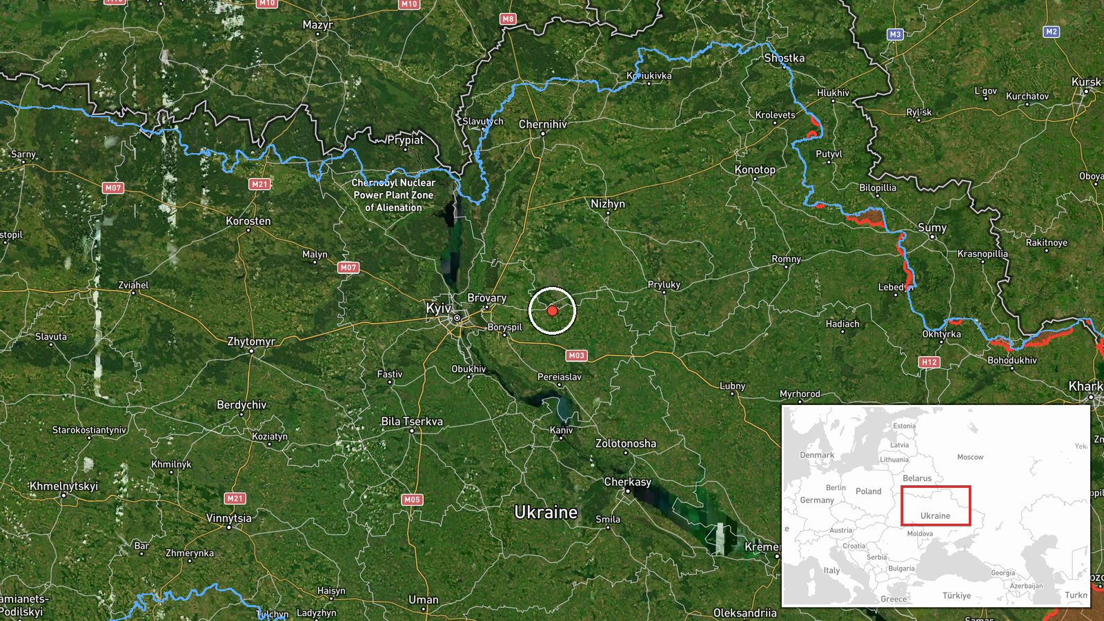
A Russian Shahed or jet-propelled reactive drone was detected transiting at high altitude over Lukyanivka in Kyiv's Shevchenko District on 26 September at 18:53 UTC. The drone was reportedly part of an ongoing Russian reconnaissance and attack wave. The detection prompted air raid sirens across right-bank Kyiv at 18:37 UTC, indicating a reactive threat operating at approximately 6 km altitude. The report originates from a single Telegram monitoring channel.
Context and assessment
This drone transit occurs within a sustained Russian aerial campaign targeting Kyiv and critical infrastructure. Earlier on 26 September, Russian forces struck the Kosmonova data center, reportedly disrupting Ukrainian military Starlink communications. Ukrainian military intelligence warned on the same day of preparations for a combined missile attack on the night of 27 September, involving both ballistic and cruise missile threats. The detection of transiting drones at high altitude suggests reconnaissance activity or probe missions preceding larger strikes. Lukyanivka's central location and proximity to government and military facilities makes it a typical corridor for drone approaches. The pattern of repeated high-altitude transits and intelligence warnings indicates Russian intent to sustain pressure on Kyiv's military communications and command infrastructure.
Sources and confidence
Single-source reporting from Telegram channel @war_monitor. No corroborating reports from other monitoring channels noted. Confidence score of 6.0 reflects the limited source base and lack of cross-confirmation. Confirmation from additional independent monitors, Ukrainian air defense statements, or visual documentation would raise confidence. Retraction or contradictory reports from established sources would lower it.
Location
Lukyanivka, a central residential district in Kyiv's Shevchenko administrative division, located on the right bank of the Dnieper River. The settlement-level precision is based on Telegram reporting. Lukyanivka lies approximately 3–4 km north-northwest of central Kyiv near major transport corridors and government quarters, making it a frequent transit route for Russian aerial approaches.
Related events nearby
- Air raid siren alert over right-bank Kyiv at high altitude (6 km). Reactive threat (Shahed/jet-propelled drone2026-09-26 18:37 UTC · Siren · Right Bank, Kyiv, Ukraine
- Russia released footage of Ukrainian kamikaze drones being shot down. The video evidence demonstrates air defe2026-09-26 19:40 UTC · Drone Shootdown · Kyiv, Ukraine
- Ukrainian FPV-kamikaze drones targeted Russian soldiers. Video evidence released showing attack on Russian mil2026-09-26 19:00 UTC · UAS Strike · Kyiv, Ukraine
- Ukrainian President Zelenskyy states that according to intelligence reports, Putin plans to expand the war in 2026-09-26 18:29 UTC · Statement · Kyiv, Ukraine
- Ukrainian military intelligence warns of Russian preparations for a combined missile attack on the night of 272026-09-26 18:25 UTC · Report · Kyiv, Ukraine
▶ View this event on the live map
Intel Mapper aggregates open-source reports from monitored Telegram and X channels, geolocates them, cross-checks duplicates across sources and assigns a confidence score. Entries are updated as new confirmations arrive. Read how we verify events.