Three Russian jet-propelled Shahed drones detected in transit toward Kyiv
What happened
Ukrainian monitoring channels reported the detection of three Russian reactive Shahed-variant unmanned aerial vehicles transiting at low altitude between 2.5 and 4.4 kilometers toward Kyiv on September 27. The drones were observed as part of ongoing massed drone activity across multiple districts of the capital. The report comes from a single Telegram channel and uses colloquial phrasing ('3х реактиви довкола Києва'), making precise operational details difficult to establish from the available information.
Context and assessment
The detection fits within an intensifying pattern of Russian drone operations against Kyiv. Related reporting from the preceding day documented massed overnight attacks using Geran-4 and Geran-5 jet-propelled kamikaze drones striking multiple targets across the city and surrounding areas. Ukrainian air defenses have been actively engaged, with documented shootdown operations. This sustained campaign of low-altitude drone transits suggests Russia is maintaining pressure on the capital's defenses and civilian infrastructure. The tactical deployment of multiple drones in succession may indicate efforts to overwhelm or probe Ukrainian air defense positioning.
Sources and confidence
Single source: Telegram channel @war_monitor. No cross-confirmation from Ukrainian official channels or independent verification noted. Confidence score of 6.0 reflects limited sourcing and single-channel reporting. Cross-confirmation from Ukrainian air force or SBU statements would strengthen confidence. Visual evidence (radar data, air defense engagement footage) or reports from additional independent channels would raise confidence significantly.
Location
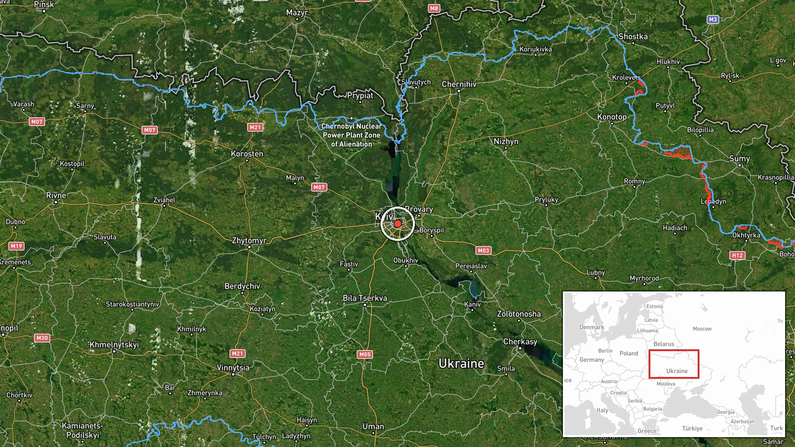
Kyiv city region, Ukraine. Coordinates place the report at the center of Kyiv (50.450°N, 30.524°E). Precision is regional rather than specific; the drones were detected in transit toward the capital rather than at a defined facility or settlement. The low-altitude flight path suggests approach vectors across the Kyiv metropolitan area.
Related events nearby
- Ukrainian fighter jet footage shows successful strike on target. Video documentation of aerial combat operatio2026-09-27 14:11 UTC · Combat Aircraft · Kyiv, Ukraine
- Russia conducted overnight massed attack on Kyiv and surrounding areas using Geran-4 and Geran-5 jet-propelled2026-09-26 23:19 UTC · UAS Strike · Kyiv, Ukraine
- Russia released footage of Ukrainian kamikaze drones being shot down. The video evidence demonstrates air defe2026-09-26 19:40 UTC · Drone Shootdown · Kyiv, Ukraine
- Ukrainian FPV-kamikaze drones targeted Russian soldiers. Video evidence released showing attack on Russian mil2026-09-26 19:00 UTC · UAS Strike · Kyiv, Ukraine
- Ukrainian President Zelenskyy states that according to intelligence reports, Putin plans to expand the war in 2026-09-26 18:29 UTC · Statement · Kyiv, Ukraine
▶ View this event on the live map
Intel Mapper aggregates open-source reports from monitored Telegram and X channels, geolocates them, cross-checks duplicates across sources and assigns a confidence score. Entries are updated as new confirmations arrive. Read how we verify events.