Russian Shahed-136 drone transits Kyiv's Vynohrady district during massed attack
What happened
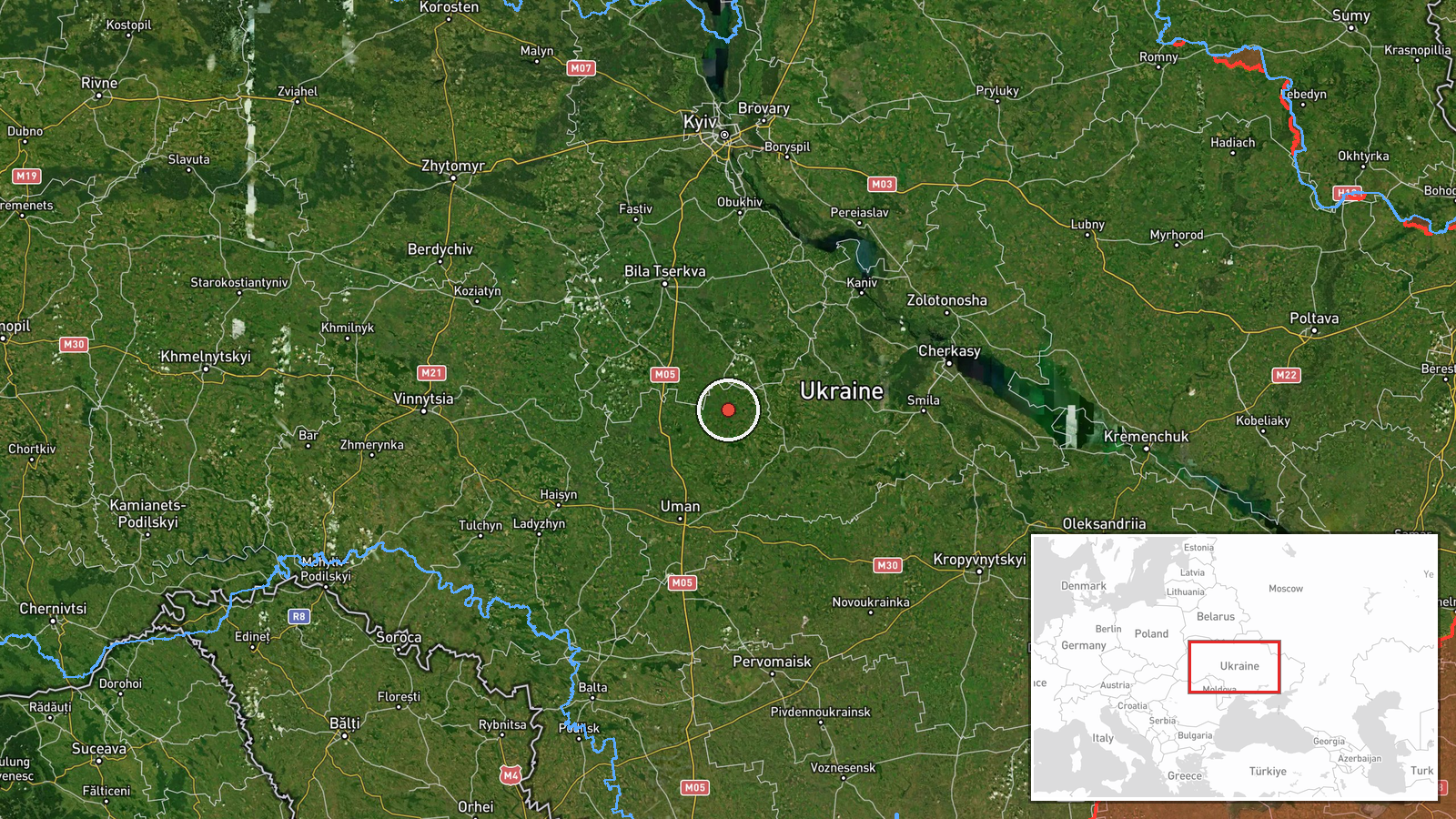
Ukrainian air monitoring detected one Russian Shahed-136 jet-engine kamikaze drone in transit over Vynohrady district in central Kyiv at approximately 2.9 kilometres distance on 30 September at 10:01 UTC. The detection occurred as part of an ongoing massed Russian drone strike against the capital. No immediate impact was reported at this specific location. The incident was reported by Telegram channel @war_monitor.
Context and assessment
Vynohrady is a densely populated residential and commercial district in central Kyiv, making drone transits through the area operationally significant for Russian targeting of the capital's infrastructure and civilian areas. This observation fits a sustained pattern of Russian drone operations against Kyiv documented throughout late September 2026. Related detections the same morning included Shahed-136 transits over Shulayevka and other western Kyiv districts, while the Ukrainian General Staff reported 221 combat clashes across all frontlines on 30 September alongside documented Russian cruise missile and drone activity. The frequency and geographic spread of these drone transits suggest continued Russian efforts to pressure Ukrainian air defences and target metropolitan Kyiv.
Sources and confidence
Single source: Telegram channel @war_monitor, which specialises in Ukrainian air defence monitoring. No corroborating reports from other channels are noted. Confidence score of 6.0 reflects the specialised nature of the source and lack of multi-source confirmation. Score would increase with independent verification from Ukrainian official channels or multiple independent monitors; it would lower if subsequent reports contradicted the transit location or timing.
Location
Vynohrady district, located in central Kyiv at coordinates 49.24°N, 30.55°E. The settlement-level precision indicates the detection placed the drone within the administrative bounds of Vynohrady. The district lies on the eastern bank of the Dnieper River and comprises mixed residential, commercial, and administrative areas typical of central Kyiv.
Related events nearby
- Ukrainian 3rd Army Corps reports territorial gains under Operation Vivaldi. Ukrainian General Staff documents 2026-09-29 21:40 UTC · Report · Ukraine (Multiple Fronts)
- Ukrainian General Staff operational summary for 30 September 2026 (Day 1680): 221 combat clashes reported acro2026-09-30 05:19 UTC · Report · Ukraine
- Ukrainian air monitoring confirms Russian Shahed-136 reactive drones transiting over Shulayevka (3.4 km), Bors2026-09-30 05:31 UTC · Drone Transit · Shulayevka, Kyiv, Ukraine
- Ukrainian air monitoring reports 1 Russian reactive drone (Shahed-136 variant) transiting over Kyiv Oblast in 2026-09-29 21:00 UTC · Drone Transit · Kozyn, Kyiv Oblast, Ukraine
- Ukrainian air monitoring confirms 1 Russian Shahed-136 reactive drone transiting over Cherkasy, Cherkasy Oblas2026-09-30 03:05 UTC · Drone Transit · Cherkasy, Cherkasy Oblast, Ukraine
▶ View this event on the live map
Intel Mapper aggregates open-source reports from monitored Telegram and X channels, geolocates them, cross-checks duplicates across sources and assigns a confidence score. Entries are updated as new confirmations arrive. Read how we verify events.