Russian Shahed drone detected over Bortnychi north of Kyiv
What happened
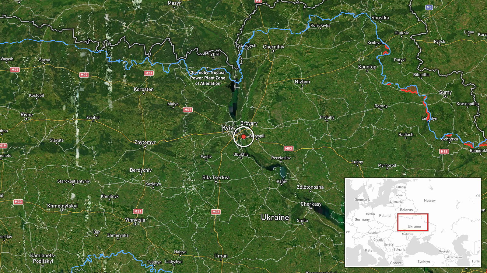
Ukrainian air monitoring systems detected a Shahed-type kamikaze drone over Bortnychi, a northern suburb of Kyiv, on 1 October at 17:07 UTC. The drone was reportedly in transit rather than in a terminal attack phase at the moment of detection. This sighting was reported via Telegram channel @war_monitor, which monitors Ukrainian air defense notifications.
Context and assessment
Bortnychi lies approximately 4.4 kilometres north of central Kyiv and is part of the capital's outer residential and industrial belt. The detection occurred during an apparent multi-drone operation spanning the Kyiv area, with related sightings logged at nearby Hnidyn, Lisovyi, and Telychka within a 52-minute window. A Shahed-136 variant was subsequently tracked transiting toward central Kyiv via Pirogovo and Lisnyky district at 17:54 UTC. The pattern suggests a coordinated Russian strike package approaching the city, consistent with the longstanding campaign of remote attacks on Ukrainian civilian and military infrastructure. Ukrainian air defenses had already engaged similar targets earlier that morning.
Sources and confidence
Single source reporting: Telegram channel @war_monitor, which aggregates official Ukrainian air monitoring data. Confidence score of 6.0 reflects limited independent cross-confirmation; however, the detection aligns temporally and geographically with multiple corroborating drone transit reports in the same operation. Score would rise with confirmation from additional independent channels or official Ukrainian military statements.
Location
Bortnychi is a settlement and suburb located approximately 4.4 kilometres north of central Kyiv, in the Obolonskyi district. The location was determined via Ukrainian air monitoring systems using standard detection methods. The area is primarily residential and light industrial, situated on the left bank of the Dnieper River north of the city center.
Related events nearby
- Russian Shahed-type kamikaze drone detected over Hnidyn (Ukrainian air monitoring).2026-10-01 17:08 UTC · Drone Transit · Hnidyn, Ukraine
- Russian Shahed-136 reactive (jet-engine) kamikaze drone detected transiting from Pirogovo through Lisnyky dist2026-10-01 17:54 UTC · Drone Transit · Telychka, Ukraine
- Russian Shahed-type kamikaze drone detected transiting from Troieshchyna toward Lisovyi (Ukrainian air monitor2026-10-01 17:02 UTC · Drone Transit · Lisovyi, Ukraine
- Russian Shahed-type kamikaze drone detected over Nova Zabudova (Ukrainian air monitoring).2026-10-01 15:28 UTC · Drone Transit · Nova Zabudova, Ukraine
- Ukrainian F-16 fighter intercepted and destroyed Russian Geran-4 (Shahed variant) suicide drone with air-to-ai2026-10-01 05:29 UTC · Drone Shootdown · Kyiv, Kyiv Oblast, Ukraine
▶ View this event on the live map
Intel Mapper aggregates open-source reports from monitored Telegram and X channels, geolocates them, cross-checks duplicates across sources and assigns a confidence score. Entries are updated as new confirmations arrive. Read how we verify events.