Russian Shahed drone detected over Hostomel northwest of Kyiv
What happened
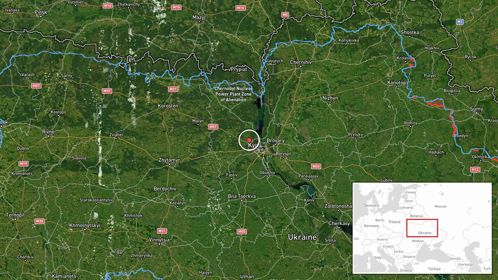
Ukrainian air monitoring detected a Russian Shahed-type kamikaze drone over Hostomel, a settlement northwest of Kyiv, on 1 October at 17:20 UTC. The drone was reportedly transiting the area rather than striking a specific target. Hostomel lies approximately 2.7 kilometers from the reported detection point. The sighting was reported via Telegram by war monitoring channels tracking Ukrainian air defense activity.
Context and assessment
Hostomel sits on the Irpin River roughly 30 kilometers northwest of central Kyiv and serves as a transit hub and residential area. The detection occurred during an intensive drone operation across the Kyiv region, with multiple Shahed drones detected over Kotsiubynske, Sviatoshyn, Vynohradar, and Vyshhorod throughout the same day. This pattern suggests either a coordinated multi-target strike or a systematic reconnaissance and harassment campaign. The timing also follows an assassination attempt against a Ukrainian military commander near Irpin earlier that day, indicating heightened Russian targeting activity in the broader Kyiv area.
Sources and confidence
Single source via Telegram channel @war_monitor, a Ukrainian air monitoring account. No cross-confirmation from independent sources is noted. Confidence score of 6.0 reflects the specialized nature of the reporting channel and alignment with broader drone activity patterns on the same date. Confirmation from official Ukrainian air defense or multiple independent monitoring channels would increase confidence.
Location
Hostomel is a settlement in Kyiv Oblast, northwest of the capital across the Irpin River. Located at approximately 50.57°N, 30.26°E, the detection point was specified as 2.7 kilometers from the settlement center. The area is a residential and suburban zone with road and rail connections.
Related events nearby
- An assassination attempt was made against Fire Point commander Denis Shtilerman near Kyiv. Shtilerman sustaine2026-10-01 11:05 UTC · Security · Irpin, Kyiv Oblast, Ukraine
- Russian Shahed-type kamikaze drone detected over Kotsiubynske (Ukrainian air monitoring).2026-10-01 05:59 UTC · Drone Transit · Kotsiubynske, Ukraine
- Russian Shahed-type kamikaze drone detected over Vynohradar (Ukrainian air monitoring).2026-10-01 15:28 UTC · Drone Transit · Vynohradar, Ukraine
- Russian Shahed-type kamikaze drone detected over Sviatoshyn (Ukrainian air monitoring).2026-10-01 05:59 UTC · Drone Transit · Sviatoshyn, Ukraine
- Russian Shahed-type kamikaze drone detected over Vyshhorod (Ukrainian air monitoring).2026-10-01 17:14 UTC · Drone Transit · Vyshhorod, Ukraine
▶ View this event on the live map
Intel Mapper aggregates open-source reports from monitored Telegram and X channels, geolocates them, cross-checks duplicates across sources and assigns a confidence score. Entries are updated as new confirmations arrive. Read how we verify events.