Russian Shahed-136 drone transits western Kyiv Oblast
What happened
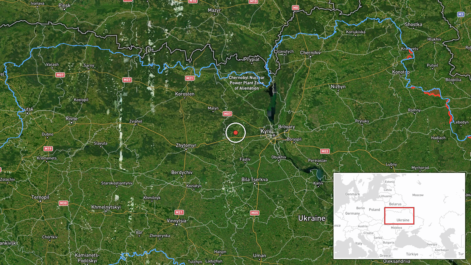
Ukrainian air monitoring reportedly tracked a Russian Shahed-136 attack drone passing over Nalyvaykivka in western Kyiv Oblast on the evening of October 3rd, heading westward. The drone was identified as a reactive/jet-powered variant. The report originated from Telegram channel @war_monitor and did not specify whether the drone was intercepted, struck a target, or continued onward.
Context and assessment
The transit occurred during an intensified Russian air campaign against Kyiv Oblast on October 3rd, with ballistic missiles also tracked over Ivankiv earlier that evening heading westward. Shahed-136 drones are commonly used in strikes against infrastructure and populated areas in western Ukraine. This sighting fits a pattern of multiple Russian aerial assets operating simultaneously across the region. The timing aligns with Ukrainian President Zelensky's statement that same day calling for strikes on Russian oil refineries in response to attacks on energy infrastructure, suggesting escalating tit-for-tat operations.
Sources and confidence
Single source: Telegram channel @war_monitor. No cross-confirmation reported from other Ukrainian monitoring channels or official statements. Confidence score of 6.0 reflects the reliable track record of this channel but limited redundancy. Confirmation from additional independent channels or official SBU/Air Force statements would strengthen confidence. Video documentation or intercept claims would raise it further.
Location
Nalyvaykivka lies in western Kyiv Oblast approximately 90 km northwest of central Kyiv, near the Irpin River valley. The settlement is situated in relatively open terrain typical of the region, with mixed agricultural and forested areas. Geographic precision is regional rather than precise facility-level, based on standard Ukrainian air monitoring reporting conventions.
Related events nearby
- Russian reactive/jet-powered drone (Shahed-136 variant) transiting from Brusylov toward Buzova in Kyiv Oblast,2026-10-03 20:08 UTC · Drone Transit · Buzova, Ukraine
- Ukrainian soldiers shot down a Russian fiber-optic FPV drone in real-time combat engagement. Video documentati2026-10-02 22:30 UTC · UAS Strike · Hostomel, Kyiv Oblast, Ukraine
- Russian ballistic missiles (2 units, likely Iskander or Kinzhal) transited over Ivankiv in Kyiv Oblast with we2026-10-03 19:22 UTC · UAS Strike · Kyiv Oblast, Ukraine (western sector)
- Ukrainian Security Service designates all personnel of Russian 50th Drone Brigade 'Varyag' as legitimate milit2026-10-03 09:16 UTC · Statement · Kyiv, Ukraine
- Ukrainian President Zelensky states Ukraine must respond to Russian attacks on energy infrastructure by target2026-10-03 17:13 UTC · Statement · Kyiv, Ukraine
▶ View this event on the live map
Intel Mapper aggregates open-source reports from monitored Telegram and X channels, geolocates them, cross-checks duplicates across sources and assigns a confidence score. Entries are updated as new confirmations arrive. Read how we verify events.