Russian Shahed drone transits over Kyiv residential area
What happened
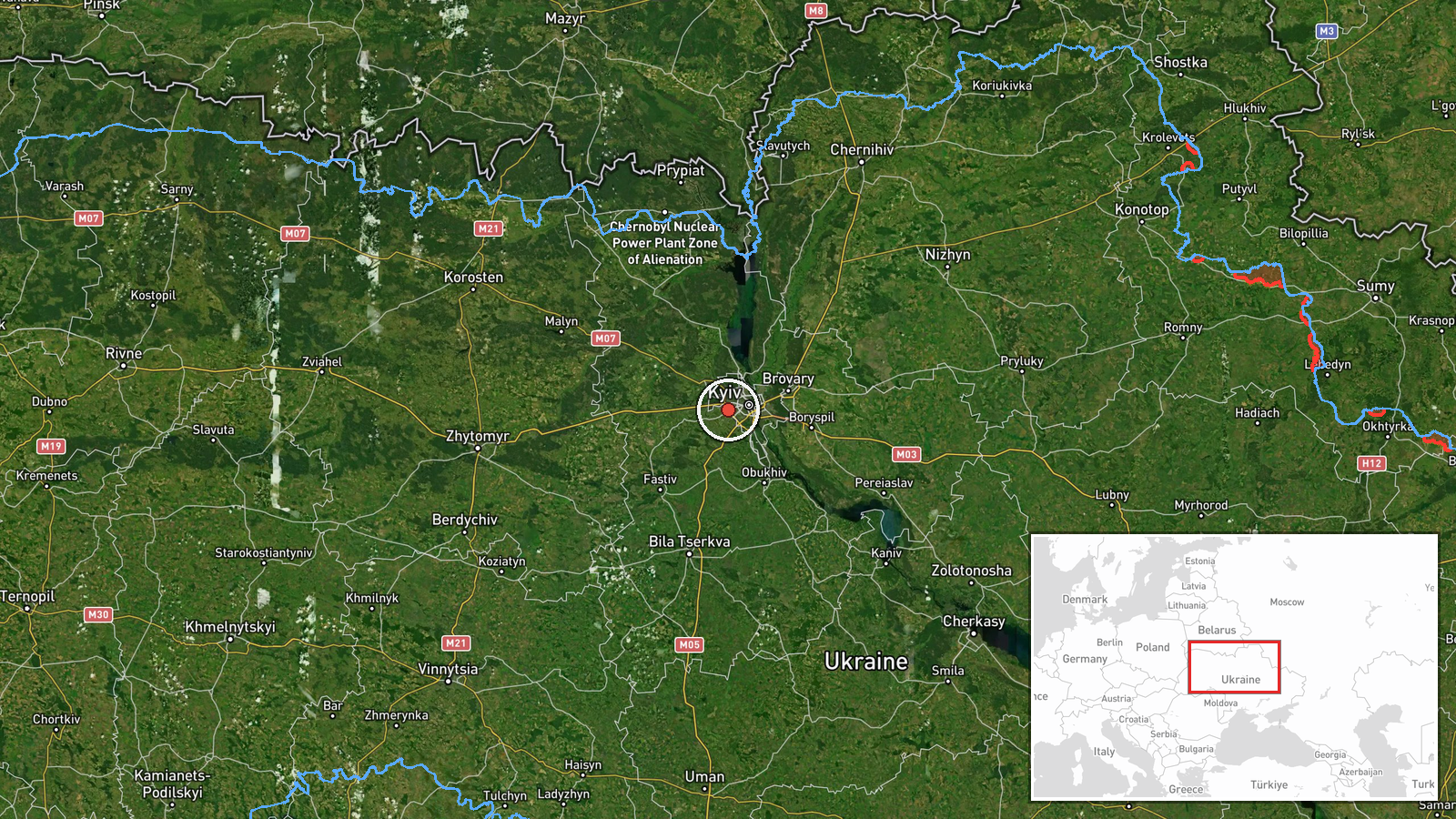
Ukrainian air monitoring detected one Russian Shahed-type drone over Borshchahivka, a residential district in northwestern Kyiv, at approximately 09:17 UTC on 8 October 2026. The drone was reported at roughly 800 meters altitude. The report originates from Telegram channel @war_monitor, which tracks Ukrainian air defense observations in real time.
Context and assessment
Borshchahivka lies in Kyiv's urban sprawl northwest of the city center, an area of apartment blocks and civilian infrastructure. This sighting occurred as part of a broader Russian drone operation over the capital; related observations from the same morning tracked multiple Shahed-type aircraft crossing northwestern Kyiv districts including Vynohradar and Shuliavka between 09:17 and 09:22 UTC, with several reportedly in terminal descent. Ukrainian civil defense issued an air raid alert for the city and surrounding oblast at 09:24 UTC. The pattern suggests a coordinated multi-drone attack or penetration attempt targeting the capital, consistent with Russia's recurring use of Shaheds to strike civilian and military infrastructure in Kyiv.
Sources and confidence
Single source: Telegram channel @war_monitor, a widely-monitored Ukrainian air tracking feed. No corroborating reports from other channels or official Ukrainian sources provided. Confidence score of 6.0 reflects single-source reporting and typical lag in independent confirmation of drone transits. Cross-confirmation via multiple monitoring channels or official statement would strengthen confidence.
Location
Borshchahivka settlement, northwestern Kyiv, determined from Ukrainian air monitoring coordinates (50.43°N, 30.38°E). The district is primarily residential, situated roughly 15 kilometers northwest of Kyiv's city center and near Pushcha-Vodytsia nature reserve. Altitude recorded at approximately 800 meters above ground level.
Related events nearby
- Ukrainian air monitoring: 1 Russian Shahed-type drone in terminal descent over Borshchahivka, Kyiv.2026-10-08 09:17 UTC · Drone Transit · Borshchahivka, Kyiv, Ukraine
- Ukrainian air monitoring: 1 Russian Shahed-type drone in terminal descent over Voleykiv.2026-10-08 10:09 UTC · Drone Transit · Voleykiv, Ukraine
- Ukrainian air monitoring: 1 Russian Shahed-type drone in terminal descent over Shuliavka, Kyiv.2026-10-08 09:22 UTC · Drone Transit · Shuliavka, Kyiv, Ukraine
- Ukrainian air monitoring: 1 Russian Shahed-type drone in terminal descent over Shuliavka, Kyiv.2026-10-08 09:21 UTC · Drone Transit · Shuliavka, Kyiv, Ukraine
- Ukrainian air monitoring: 1 Russian jet-powered Shahed (Geran-3) drone passing Pushcha-Vodytsia, Kyiv, heading2026-10-08 09:19 UTC · Drone Transit · Vynohradar, Kyiv, Ukraine
▶ View this event on the live map
Intel Mapper aggregates open-source reports from monitored Telegram and X channels, geolocates them, cross-checks duplicates across sources and assigns a confidence score. Entries are updated as new confirmations arrive. Read how we verify events.