Russian Shahed drones detected over Irpin and Hostomel northwest of Kyiv
What happened
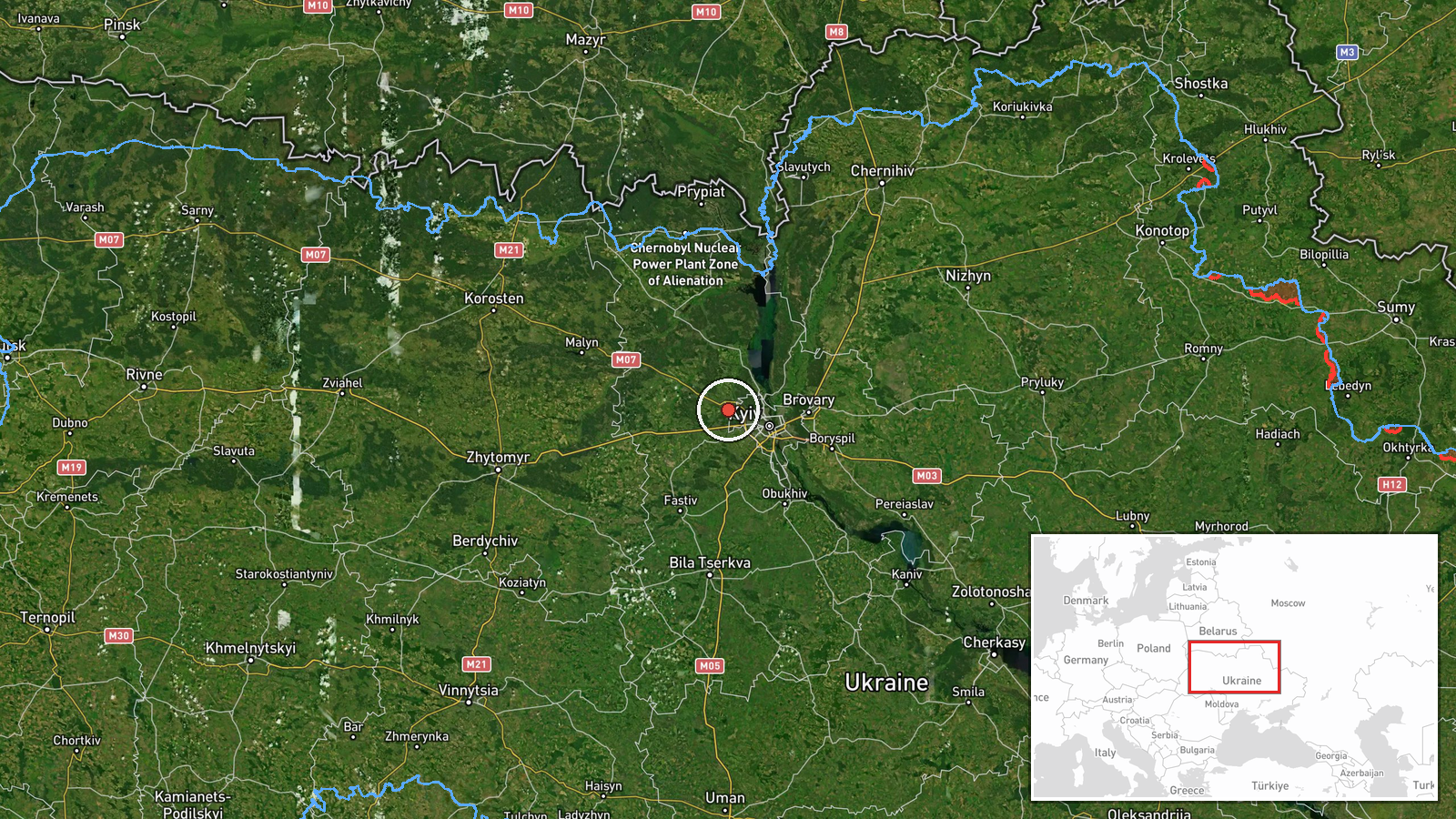
Ukrainian air monitoring detected one Russian Shahed-type drone transiting over Irpin and one over Hostomel on the morning of October 9, 2026 at approximately 03:56 UTC. Both locations lie northwest of Kyiv in Kyiv Oblast. The report was issued by Telegram channel @war_monitor based on Ukrainian air defense tracking data. No engagement or impact was immediately reported in the available source material.
Context and assessment
Irpin and Hostomel are key towns in the northwestern approaches to Kyiv, lying along historical invasion corridors and air corridors frequently used by Russian drone operations. The detection follows a sustained pattern of Russian Shahed and Geran-3 drone transits across Kyiv Oblast recorded over October 8–9, including passes over Bucha, Dymer, Ivankiv, and Pushcha-Vodytsia. This concentration suggests either a coordinated multi-target strike operation, reconnaissance activity, or routing of drones toward strategic targets deeper in Ukrainian territory. Such drone activity typically precedes or accompanies strikes on infrastructure, military positions, or administrative facilities.
Sources and confidence
Report sourced from Telegram channel @war_monitor, which aggregates Ukrainian official air monitoring alerts. Single source limits independent cross-confirmation; confidence score of 6.0 reflects reliance on one channel. Confidence would increase with corroboration from official Ukrainian air force statements or secondary monitoring sources. Reduction would occur if follow-up reporting indicated system malfunction or false detection.
Location
Irpin and Hostomel are settlements in Kyiv Oblast northwest of central Kyiv. Irpin sits on the Irpin River approximately 20 km west-northwest of Kyiv's city center; Hostomel lies roughly 30 km north-northwest on the Pripyat River. Both are suburban/exurban zones with civilian populations and lie near major road and rail infrastructure connecting Kyiv to Belarus and western Ukraine.
Related events nearby
- Ukrainian air monitoring: 1 Russian jet-powered Shahed (Geran-3) drone over Bucha; 1 Russian Shahed-type drone2026-10-09 00:37 UTC · Drone Transit · Bucha, Ukraine
- Ukrainian air monitoring: 2 Russian jet-powered Shahed (Geran-3) drones passing Dymer, heading toward Bucha.2026-10-08 14:13 UTC · Drone Transit · Bucha, Ukraine
- Ukrainian air monitoring: 1 Russian jet-powered Shahed (Geran-3) drone over Bucha.2026-10-08 10:05 UTC · Drone Transit · Bucha, Ukraine
- Ukrainian air monitoring: 2 Russian Shahed-type drones over Hostomel.2026-10-09 03:57 UTC · Drone Transit · Hostomel, Ukraine
- Ukrainian air monitoring: 1 Russian jet-powered Shahed (Geran-3) drone over Pushcha-Vodytsia, Kyiv.2026-10-08 14:20 UTC · Drone Transit · Pushcha-Vodytsia, Kyiv, Ukraine
▶ View this event on the live map

Intel Mapper aggregates open-source reports from monitored Telegram and X channels, geolocates them, cross-checks duplicates across sources and assigns a confidence score. Entries are updated as new confirmations arrive. Read how we verify events.