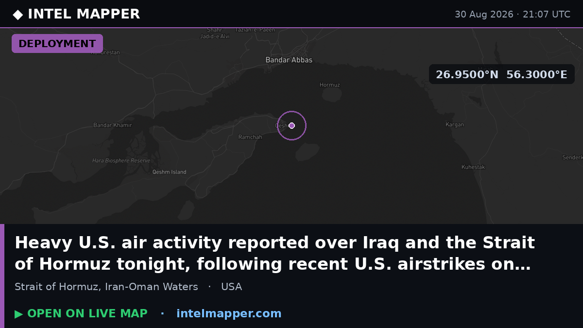
Heavy U.S. air activity reported over Iraq and Strait of Hormuz amid regional escalation
What happened
Significant U.S. air activity was reported over Iraq and the Strait of Hormuz on the evening of August 30, 2026, according to posts on X. The deployment and repositioning of U.S. combat aircraft occurred in the hours following American airstrikes against Iranian Islamic Revolutionary Guard Corps (IRGC) positions on Larak Island in the Strait of Hormuz earlier that same day. The exact nature and scale of the air operations were not specified in available reports.
Context and assessment
The activity represents an apparent continuation of U.S. military response to perceived Iranian threats in one of the world's most critical sea lanes. Larak Island, located in the central Strait of Hormuz, hosts Iranian military installations including missile launcher positions. The U.S. strikes on August 30 targeted IRGC missile systems reportedly configured with sea mines or cluster warheads. Iran's IRGC announced it would retaliate for these strikes, and shortly before the reported U.S. air activity, an Iranian ballistic missile struck a crude oil tanker transiting the strait near Khasab, Oman. The sustained American air presence suggests preparations for potential further Iranian action or reinforcement of regional U.S. capabilities amid heightened tensions.
Sources and confidence
Reported by X account @WarMonitor3 with no apparent corroboration from other open-source channels at time of filing. The single-source assessment reflects reliance on social media monitoring. Confidence is moderate (6.0/10) due to lack of cross-confirmation through defense ministry statements, multiple independent channels, or photographic evidence. Confirmation from U.S. Central Command or allied sources would substantially increase confidence.
Location
The Strait of Hormuz, a maritime chokepoint between Iran and Oman at approximately 26.95°N, 56.3°E. The reported activity spans a regional area rather than a specific point, covering waters and airspace over Iraq and the strategic waterway. The Strait itself is roughly 55 kilometers wide at its narrowest point and carries roughly one-third of global maritime petroleum trade.
Related events nearby
- Iran fires ballistic missiles toward U.S. naval assets in the Strait of Hormuz as retaliation for recent Ameri2026-08-30 21:30 UTC · Ballistic Missile · Strait of Hormuz, Iran-Oman Waters
- Iran fires ballistic missiles in response to U.S. airstrikes on Larak Island IRGC positions. Retaliation follo2026-08-30 21:28 UTC · Ballistic Missile · Strait of Hormuz, Iran-Oman Waters
- Iran struck a crude oil tanker transiting the Strait of Hormuz, approximately 12 NM north of Khasab, Oman. No 2026-08-30 16:39 UTC · Ballistic Missile · Strait of Hormuz, 12 NM north of Khasab, Oman
- Iran's Islamic Revolutionary Guard Corps (IRGC) announces it will retaliate for U.S. airstrikes on Larak Islan2026-08-30 19:53 UTC · Statement · Larak Island, Strait of Hormuz, Iran
- U.S. airstrikes targeted Iranian missile launcher positions on Larak Island in the Strait of Hormuz. Weapons w2026-08-30 19:30 UTC · Statement · Larak Island, Strait of Hormuz, Iran
▶ View this event on the live map
Intel Mapper aggregates open-source reports from monitored Telegram and X channels, geolocates them, cross-checks duplicates across sources and assigns a confidence score. Entries are updated as new confirmations arrive. Read how we verify events.