Israeli military establishes checkpoints in Quneitra, Syria near Damascus
What happened
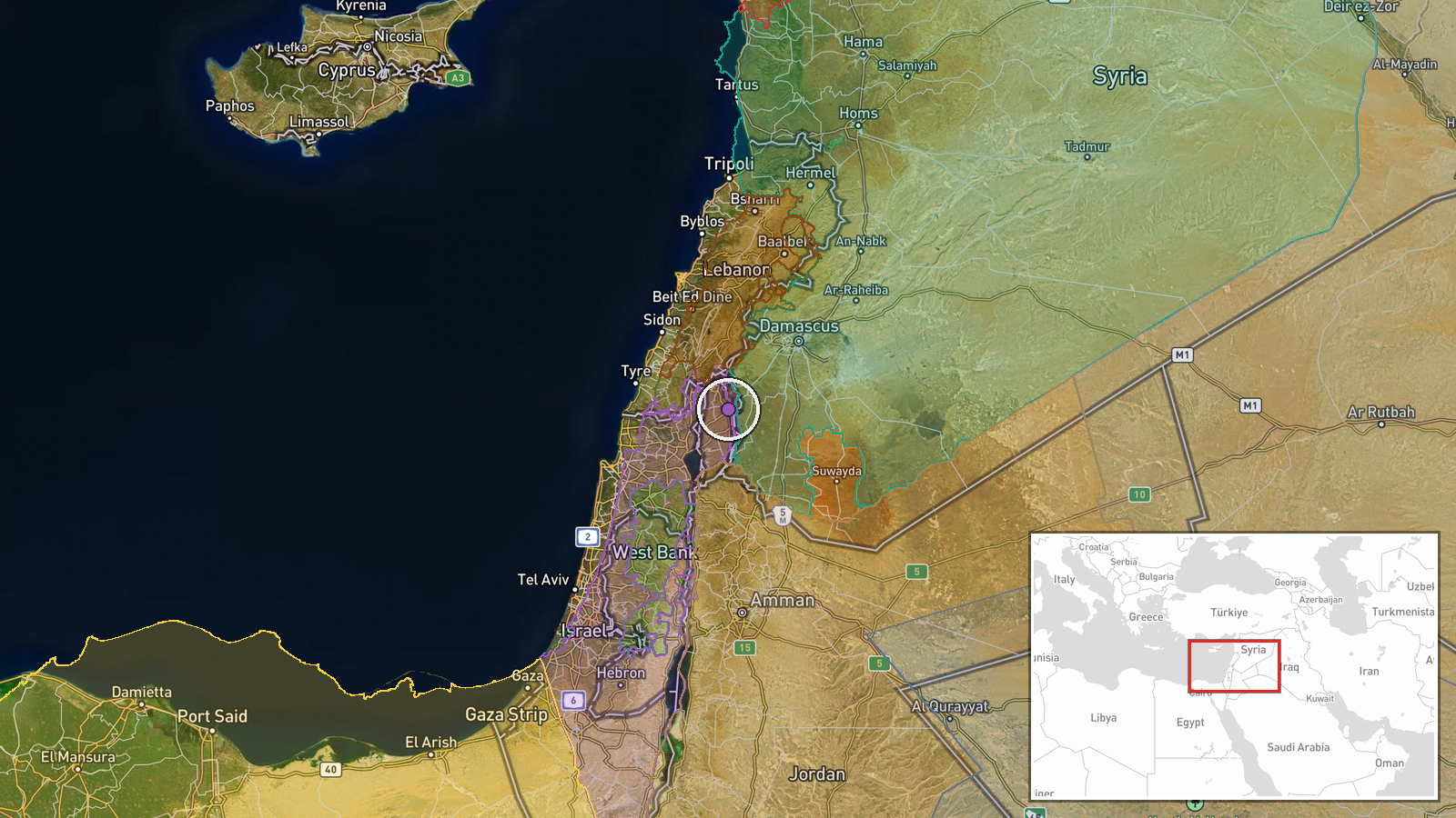
Israeli military personnel were reportedly photographed setting up control checkpoints on Syrian territory in Quneitra Governorate on September 6. Visual documentation was shared via social media by the conflict monitoring account ConflictTR. The report indicates an administrative or security presence rather than active combat operations, marking a shift in the nature of Israeli operations in the area.
Context and assessment
Quneitra lies in southwestern Syria near the Israeli-controlled Golan Heights, a strategically sensitive border zone. The checkpoint establishment follows sustained Israeli military activity in the region over the preceding days, including ground infiltrations near Um Bathneh and artillery strikes across multiple villages in Quneitra and rural Damascus. Educational activity resumed in the town on the same day, suggesting civilian life continues alongside military operations. Checkpoint deployment typically indicates longer-term territorial control and screening of movement, potentially reflecting Israeli intent to maintain a security perimeter in contested areas of southwestern Syria.
Sources and confidence
Reported by X account ConflictTR on September 6. Single-source reporting with visual documentation provided. Confidence score of 6.0 reflects corroboration by geolocation and consistency with the pattern of recent Israeli operations in Quneitra Governorate. Confirmation from additional independent sources or military statements would increase confidence substantially.
Location
Quneitra settlement, Quneitra Governorate, southwestern Syria. Located approximately 40 kilometers southwest of Damascus and within the buffer zone of the Israeli-occupied Golan Heights. High-precision settlement-level geolocation based on visual content. The area sits at the intersection of Israeli military operations and Syrian civilian recovery efforts.
Related events nearby
- Families of detainees held in Israeli prisons from Daraa, Quneitra, and Rif Dimashq governorates organized a p2026-09-07 08:20 UTC · Statement · Nab'a al-Fuar, Quneitra Governorate, Syria
- Israeli drone fired on three suspects near Syria-Israel border fence in Rafid area Saturday night. One suspect2026-09-07 07:22 UTC · UAS Strike · Rafid, Quneitra Governorate, Syria
- Israeli artillery and gunfire targeted Quneitra Countryside in southern Syria amid escalating military tension2026-09-06 20:13 UTC · Artillery · Quneitra Countryside, Quneitra Governorate, Syria
- Israeli military vehicles and personnel reported near Tell al-Hadib in rural Daraa conducting excavation work,2026-09-06 15:33 UTC · Deployment · Tell al-Hadib, Daraa Governorate, Syria
- Israeli airstrikes struck a three-story residential building and civilian vehicle in Kfar Raman, southern Leba2026-09-07 06:07 UTC · Airstrike · Kafr Ruman, Nabatieh Governorate, Lebanon
▶ View this event on the live map
Intel Mapper aggregates open-source reports from monitored Telegram and X channels, geolocates them, cross-checks duplicates across sources and assigns a confidence score. Entries are updated as new confirmations arrive. Read how we verify events.