USS Abraham Lincoln completes 265-day Middle East deployment with recorded air and naval engagements
What happened
The USS Abraham Lincoln carrier strike group concluded a 265-day deployment in Middle East operations on October 9, 2026. According to a post on X, the carrier's air wing and naval forces recorded combat engagements including 103 unmanned aerial vehicles destroyed, 23 anti-ship missiles intercepted, 10 submarines engaged, and 34 combat vessels targeted. The strike group deployed approximately 1,463 bombs during patrol and combat air operations throughout the deployment period.
Context and assessment
The Abraham Lincoln's extended deployment reflects sustained U.S. naval presence in the Arabian Sea and broader Middle East region, an area of persistent strategic importance for freedom of navigation and regional security. The scale of recorded engagements—particularly the number of anti-ship missiles and submarines engaged—suggests ongoing maritime threats in the operating area, consistent with regional tensions and proliferation of advanced naval capabilities. The high sortie rate and ordnance expenditure indicate intensive air operations, likely involving strikes on ground targets alongside air defense missions. Such deployments typically span multiple contingency operations and represent a cornerstone of U.S. forward presence doctrine in contested waters.
Sources and confidence
The claim originates from a single X account (@ConflictTR) citing specific kill markings and ordnance totals without named official U.S. Navy sources or corroborating media reports visible in provided data. The low confidence score reflects single-source reporting and lack of cross-confirmation from official U.S. Department of Defense statements or military press releases. Confidence would increase with independent Navy statements, official deployment summaries, or corroborating reporting from established defense outlets.
Location
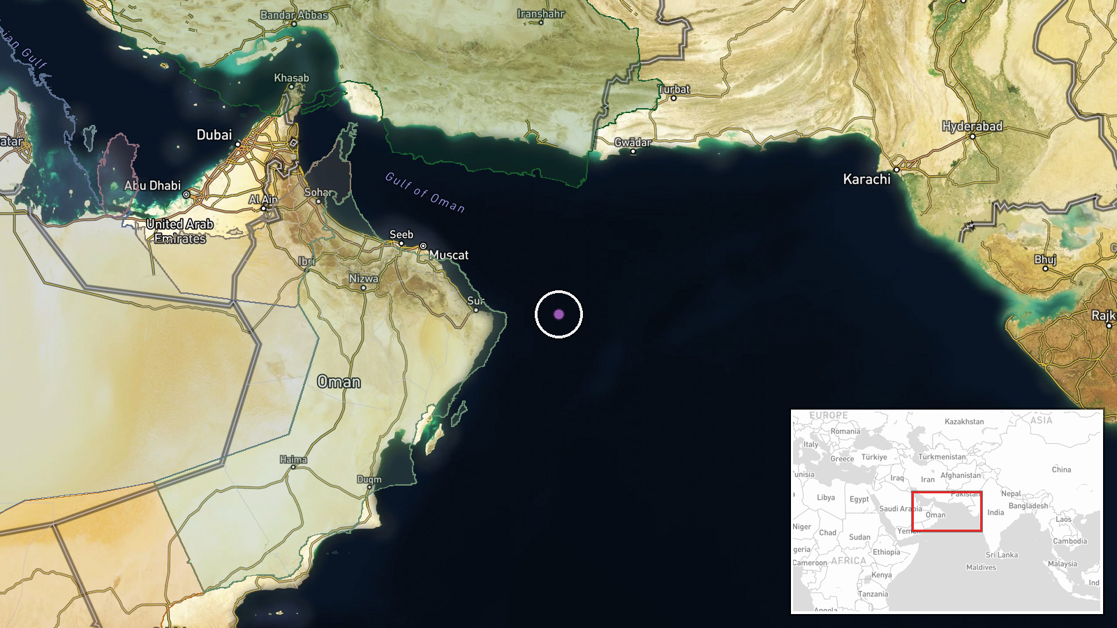
The USS Abraham Lincoln operated in the North Arabian Sea region, a waters area bounded roughly between the Persian Gulf approaches and the Arabian Sea proper (coordinates approximately 22.5°N, 61.0°E). This region encompasses major shipping lanes, contested maritime zones, and areas of significant naval activity by multiple regional and international actors. The precision is regional rather than specific due to the carrier's mobile nature throughout a 265-day patrol cycle.
▶ View this event on the live map

Intel Mapper aggregates open-source reports from monitored Telegram and X channels, geolocates them, cross-checks duplicates across sources and assigns a confidence score. Entries are updated as new confirmations arrive. Read how we verify events.