Lebanese Army sets checkpoints and patrols in Beirut's Dahiyeh to detain wanted individuals
What happened
A post attributed to the Lebanese Army, relayed by the X account @Osint613, states that checkpoints and foot and vehicle patrols were deployed in Dahiyeh, the densely populated southern suburb of Beirut. According to the army's wording, the aim was to detain wanted individuals and those harming security. The army also released footage of the operation, which the relaying account shared. The report does not name any individuals detained, give arrest numbers, or describe clashes or injuries. The timestamp places the report at 16:09 UTC on 17 October 2026. Because the only source is a single social media account passing on official material, the description rests on the army's own framing and its video rather than on independent reporting.
Context and assessment
Dahiyeh is a dense residential area that has long been associated with Hezbollah, and its security arrangements are closely watched in Lebanon because they touch on the balance between the state, armed non-state groups and the capital's population. An announced sweep aimed at wanted individuals and those harming security may reflect a routine law-enforcement effort, a response to a specific incident, or a broader push to assert state control in sensitive districts. The related events in the data are all in Syria, not Lebanon, so they do not show a direct link. They do outline a regional environment of heightened security activity: gunfire and explosions in Damascus, an Israeli temporary checkpoint in Quneitra, an Israeli patrol advancing into farmland in southern Quneitra, and a foiled ISIS-linked plot in Rif Dimashq. Operationally, checkpoints and patrols usually signal a targeted search or detention effort rather than open confrontation. Without named suspects or further reporting, however, the purpose and scope of the operation remain unclear.
Sources and confidence
The event rests on a single channel, X account @Osint613, which relayed an army statement and footage. No second outlet in the data confirms the deployment, and the desk has not independently verified the video's date or location. The confidence score of 6.8 reflects this single-source basis, offset by the attribution to an official army statement. Confidence would rise with confirmation from Lebanese national media, the army's own verified channels, or independent geolocation and date-checking of the footage. It would fall if the video is found to be older, from a different location, or unconnected to the stated operation.
Location
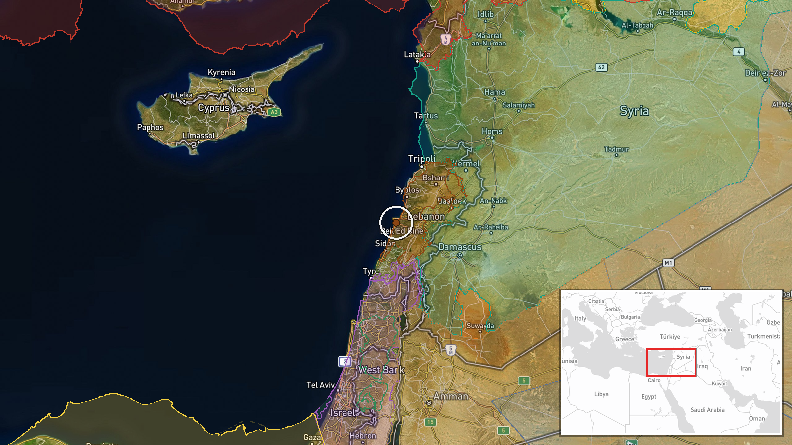
The location is recorded at settlement precision, using coordinates of 33.8547 N, 35.5112 E for Dahiyeh as a whole rather than a specific street or building. The area is a dense, mostly residential suburban zone south of Beirut's city limits. The Mediterranean coast lies to the west, and Beirut's international airport is situated to the south-southwest. The data does not give a separate location confidence value, so the settlement-level coordinate is the main geographic reference.
Related events nearby
- Arrest of Meraj Oral reported; Syrian and Lebanese accounts conflict over where the arrest took place.2026-10-17 17:07 UTC · Police Operation · Lebanon (location not reported)
- Images show earth berms built by Israeli occupation forces on the Hadar-Tarnanga road in Quneitra countryside,2026-10-17 16:35 UTC · Deployment · Hadar - Tarnanga road, Quneitra Governorate, Syria
- Gunfire and explosions heard in Damascus; Syrian security forces reportedly fired at an unidentified aerial ob2026-10-16 20:39 UTC · Security · Damascus, Syria
- Syrian FM al-Shaibani at OIC Council of Foreign Ministers: any Israeli annexation of the Golan is void under U2026-10-17 16:37 UTC · Statement · Damascus, Syria
- Israeli occupation forces set up a temporary checkpoint in al-Ajraf village, Quneitra countryside, per local s2026-10-17 07:56 UTC · Security · Al-Ajraf, Quneitra Countryside, Syria
▶ View this event on the live map

Intel Mapper aggregates open-source reports from monitored Telegram and X channels, geolocates them, cross-checks duplicates across sources and assigns a confidence score. Entries are updated as new confirmations arrive. Read how we verify events.