IDF says 91st Division destroyed over 540 'terror infrastructures' in southern Lebanon security zone
What happened
The Israel Defense Forces' 91st Division reportedly stated that it has destroyed more than 540 so-called terror infrastructures within the security zone in southern Lebanon. The statement, relayed by the X account @Osint613, quotes the military saying the figure was reported by the army itself, and it does not name any specific sites, locations, or dates for individual strikes. The event is logged with a date of 20 October 2026 at 09:24 UTC. The report is a cumulative military claim rather than a description of a single incident, and independent reporting on the individual targets was not available in the data provided.
Context and assessment
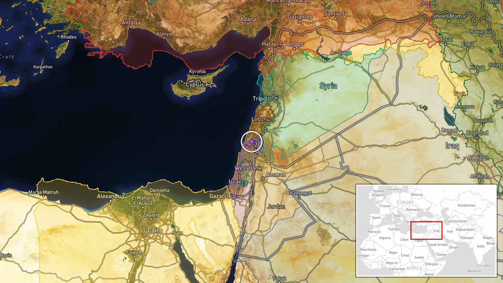
The location sits near Tebnine in the Nabatieh district of southern Lebanon, an area that has repeatedly appeared in recent reporting. The day before this claim, explosions were reported in Tebnine following reported IDF strikes, though impact details remained unconfirmed. Nearby, an airstrike on Kfara was described by the IDF as hitting a truck carrying materiel it attributed to Hezbollah at a weapons storage site, and a drone strike near Kfar Shouba reportedly dropped munitions on a house that failed to detonate. Taken together, these related reports suggest a sustained campaign of aerial and drone activity across the southern Lebanese front rather than isolated incidents. The cumulative figure of more than 540 sites, if accurate, would indicate a large-scale effort to target infrastructure in a defined zone. Operationally, a security zone framing typically implies a longer-term military presence and ongoing clearance activity, though the broader strategic intent cannot be confirmed from the available material.
Sources and confidence
The report rests on a single X account, @Osint613, which relays a post attributed to the IDF's 91st Division. No second independent channel has confirmed the figure in the data provided, so cross-confirmation is absent. The confidence score of 6.8 reflects a single-source origin and the absence of named sites, though the attribution to an official military statement adds some weight. Confidence would rise with corroboration from wire services, the IDF's own published statement, or Lebanese official responses, or with named locations that could be independently checked. It would fall if the original military statement cannot be located or if the figure is found to be a reused or misquoted claim.
Location
The coordinates place the event near Tebnine in Nabatieh Governorate, southern Lebanon, but the precision is classed as regional with low location confidence. The event describes a security zone rather than a specific facility, so the point is an approximate front-line estimate. The area lies in hilly terrain close to the Israeli border, and the broader security zone referenced in the report covers multiple villages across southern Lebanon. Nearby reported locations in the related events include Kfara and Kfar Shouba, which fall within the same general frontier belt.
Related events nearby
- Explosions reported in Tebnine, southern Lebanon, following reports of Israeli Defense Forces (IDF) strikes. I2026-10-19 16:14 UTC · Airstrike · Tebnine, Lebanon
- IDF says it struck and destroyed a truck loaded with combat materiel by Hezbollah operatives at a weapons stor2026-10-20 07:28 UTC · Airstrike · Kfara, South Lebanon, Lebanon
- Israeli military drone dropped bombs on a house in Lebanon; the munitions failed to detonate.2026-10-19 13:05 UTC · UAS Strike · Near Kfar Shouba, Nabatieh, Lebanon (front line, e
- Israeli forces advanced with two tanks into Tal al-Hawa, west of Jubata al-Khashab in northern Quneitra countr2026-10-20 09:52 UTC · Tank · Tal al-Hawa, Jubata al-Khashab, Quneitra Governora
- Israeli forces set up a temporary checkpoint at Al-Alam roundabout in Quneitra countryside and detained a youn2026-10-19 18:59 UTC · Security · Al-Alam Roundabout, Quneitra Countryside, Syria
▶ View this event on the live map

Intel Mapper aggregates open-source reports from monitored Telegram and X channels, geolocates them, cross-checks duplicates across sources and assigns a confidence score. Entries are updated as new confirmations arrive. Read how we verify events.