Two Chinese Y-9 surveillance aircraft fly past Okinawa and Miyako; Japan scrambles jets
What happened
Japan's Joint Staff reported on its official X account that two People's Liberation Army Y-9 aircraft operated near the Nansei island chain on 20 October 2026, with the event logged at 12:17 UTC. According to the source's wording, one Y-9, described as a patrol aircraft, came in from the East China Sea, crossed the gap between Okinawa Island and Miyako Island into the Pacific, flew as far as waters off Amami Oshima, then turned back through the same gap toward the mainland. A second Y-9, described as an information-gathering aircraft, arrived from the continent that afternoon and flew back and forth between waters south of the Danjo Islands in Nagasaki Prefecture and an area northwest of Okinawa Island before heading back. Japan's Air Self-Defense Force Southwestern Air Defense Force scrambled fighter jets in response. The report mentions no weapons, injuries or damage.
Context and assessment
The Miyako Strait is one of the main passages Chinese military aircraft and ships use to move between the East China Sea and the western Pacific, so repeated transits through the gap between Okinawa and Miyako are routine indicators of China's activity in the Nansei chain. This report fits a pattern visible in the related event from the previous day, when Japan's Joint Staff tracked Chinese BZK-005, Y-9 and TB-001 drones moving between Okinawa and Miyako and near Yonaguni, again prompting ASDF fighter scrambles. Taken together, the two days suggest sustained surveillance of the island chain using both crewed and unmanned platforms, possibly to track Japanese air defense responses and to build a picture of the waters between Kyushu and Taiwan. The Y-9 is a turboprop aircraft used for maritime patrol and electronic or signals intelligence, so its role here is observation rather than strike. Such flights rarely escalate on their own, but they keep Japanese forces on alert and add to the pattern of pressure around Japanese-administered islands in the region.
Sources and confidence
The only reporting channel is the X account of Japan's Joint Staff Public Affairs Office, which posts official notices of tracked foreign military aircraft. The record lists a single source, and no independent outlet, radar feed or second government statement is attached, so cross-confirmation is absent. The confidence score of 6.1 reflects a credible official origin balanced against the lack of corroboration and the broad location marker. Confidence would rise with matching Japanese defense ministry releases, independent flight-tracking data, or confirmation from regional media. It would fall if the official notice were later revised or if the aircraft identifications could not be matched to tracking records.
Location
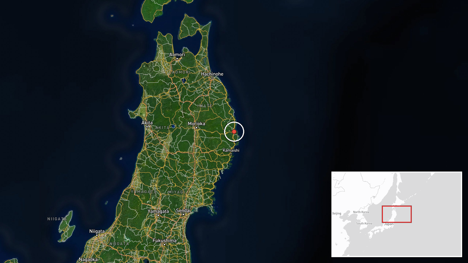
The record names the Miyako Strait, the channel between Okinawa Island and Miyako Island, and the location is marked as region-level precision with high location confidence in the source data. The actual flight path, however, extended from the East China Sea to waters off Amami Oshima, the Danjo Islands and northwest of Okinawa. The coordinates attached to the record (about 39.6°N, 141.9°E) fall in the Pacific off northeastern Honshu, far north of the strait, which lies near 24–27°N and 125–128°E, so they appear to be a data error and should not be used for placement.
Related events nearby
- Japan's Joint Staff tracked Chinese BZK-005, Y-9 and TB-001 drones transiting between Okinawa and Miyako and n2026-10-19 15:12 UTC · Combat Aircraft · Miyako Strait, Okinawa Prefecture, Japan
▶ View this event on the live map

Intel Mapper aggregates open-source reports from monitored Telegram and X channels, geolocates them, cross-checks duplicates across sources and assigns a confidence score. Entries are updated as new confirmations arrive. Read how we verify events.