Iran reportedly launches kamikaze drone attacks on shipping in Strait of Hormuz
What happened
Iran reportedly deployed kamikaze unmanned aerial systems (UAS) against commercial shipping transiting the Strait of Hormuz on August 31, 2026, according to a report from X account @ConflictTR. The report provides no specifics on vessel targets, damage assessments, or confirmed hits. The timing coincides with multiple Iranian military operations in the waterway, including drone shootdowns and ballistic missile launches.
Context and assessment
The Strait of Hormuz remains one of the world's most strategically critical chokepoints, handling roughly one-third of global seaborne petroleum trade. Iran's reported attack on commercial shipping follows an escalatory pattern throughout August 31, including Iranian claims of shooting down two U.S. MQ-9 Reaper drones and a supertanker mine strike. These incidents appear connected to U.S. airstrikes on IRGC positions at Larak Island, which prompted Iranian ballistic missile launches earlier that day. The cumulative effect suggests intensifying maritime tensions and potential Iranian efforts to assert control or impose costs on international shipping during a period of heightened U.S.–Iran military friction.
Sources and confidence
Reported by X account @ConflictTR with no cross-confirmation from additional open-source channels as of publication. The single-source attribution and lack of specific targeting or damage details lower confidence. Corroboration from shipping industry reports, U.S. naval statements, or Iranian official acknowledgments would substantially strengthen the assessment.
Location
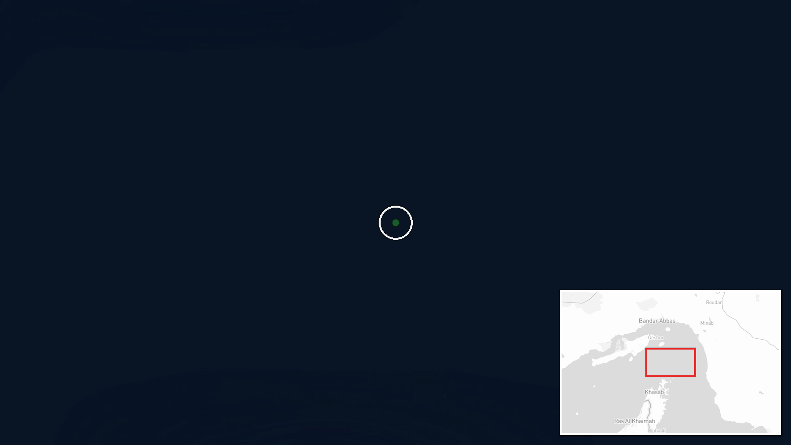
The Strait of Hormuz, the narrow waterway separating Iran's southern coast from Oman, positioned at approximately 26.6°N, 56.5°E. This strategic choke point links the Persian Gulf to the Gulf of Oman and Arabian Sea, making it critical to global energy transit. The exact attack coordinates or vessel positions were not disclosed in available reporting.
Related events nearby
- Iran fired anti-aircraft missiles at U.S. F-35 fighters in the Strait of Hormuz. No confirmation of hits or da2026-08-31 18:47 UTC · Air Defense · Strait of Hormuz, Persian Gulf
- Trump administration considering limited U.S. military strikes on Iranian radar, air defense systems, and anti2026-08-31 18:13 UTC · Statement · Strait of Hormuz, Persian Gulf
- Iran's IRGC claims its Aerospace Force air defense system shot down a U.S. MQ-9 Reaper drone east of the Strai2026-08-31 16:42 UTC · Drone Shootdown · Strait of Hormuz, Persian Gulf
- Iran's Revolutionary Guards claimed to have shot down a U.S. MQ-9 Reaper drone valued at approximately $30 mil2026-08-31 05:29 UTC · Drone Shootdown · Strait of Hormuz, Iran-Oman Waters
- Iran's Revolutionary Guards confirmed a supertanker struck two naval mines in the Strait of Hormuz, caught fir2026-08-31 04:51 UTC · Naval · Strait of Hormuz, Iran-Oman Waters
▶ View this event on the live map
Intel Mapper aggregates open-source reports from monitored Telegram and X channels, geolocates them, cross-checks duplicates across sources and assigns a confidence score. Entries are updated as new confirmations arrive. Read how we verify events.