Ukrainian unmanned ground vehicle rams and destroys Russian drone near Kupiansk
What happened
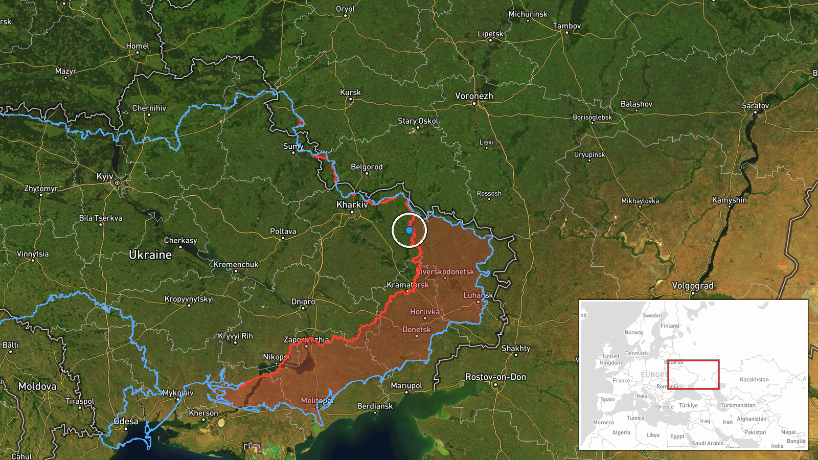
A Ukrainian unmanned ground vehicle (UGV) reportedly intercepted and destroyed a Russian drone through direct impact in the Kupiansk area of Kharkiv Oblast on October 6. The report, shared via X by conflict monitoring account ConflictTR, describes the Ukrainian drone operator using the ground-based system to eliminate the aerial asset during ongoing combat operations. The specific circumstances of the engagement and the Russian drone's type remain unspecified in available reporting.
Context and assessment
Kupiansk, a city on the eastern bank of the Oskil River in Kharkiv Oblast, has been a focal point of intensive ground and aerial warfare since Russia's 2022 invasion. The use of unmanned ground vehicles as counter-drone platforms reflects Ukraine's adaptation to sustained Russian aerial operations and represents an emerging tactical response to drone saturation. This incident follows Ukrainian drone activity documented on October 5–6 in nearby Luhansk Oblast, suggesting coordinated or concurrent unmanned operations across the northeastern front. The deployment of UGVs for air defense purposes indicates possible shortages of conventional counter-UAS systems or tactical experimentation with mobile ground-based interception.
Sources and confidence
Reported by a single X account (@ConflictTR) specializing in Turkish-language conflict coverage. No cross-confirmation from Ukrainian official sources or independent verification channels has been identified. Confidence is low (6/10) due to single-source reporting and lack of corroboration. Confirmation from Ukrainian Defence Force channels or geolocated visual evidence would substantially strengthen confidence.
Location
Kupiansk, Kharkiv Oblast, located approximately 50 kilometers east of Kharkiv city on the Oskil River. The geographic precision is regional rather than specific; the exact engagement site within or near Kupiansk's vicinity cannot be determined from available data. The area has been contested territory with active ground operations throughout 2024–2026.
Related events nearby
- Ukrainian Defence Forces conducted a UAS strike on Russian troop concentrations in the Sokologirsk area, Luhan2026-10-06 09:24 UTC · UAS Strike · Sievierodonetsk, Luhansk Oblast, Ukraine
▶ View this event on the live map
Intel Mapper aggregates open-source reports from monitored Telegram and X channels, geolocates them, cross-checks duplicates across sources and assigns a confidence score. Entries are updated as new confirmations arrive. Read how we verify events.