Israeli forces detain shepherd during military operation west of Quneitra
What happened
Israeli occupation forces detained a shepherd during a military infiltration operation west of Sidaa Al-Hanut village in Quneitra countryside on September 21, according to Syria Now correspondent reporting on Telegram. The report describes a ground incursion into the stated location, with the shepherd's detention occurring during the operation. No additional details regarding the shepherd's status or circumstances were provided in the source material.
Context and assessment
The detention occurred amid a broader pattern of Israeli military activity across southern Syria in late September, including ground incursions and airstrikes concentrated in Daraa and Quneitra countryside near the Golan Heights border. Related reports document Israeli tanks and armored vehicles advancing into Wadi al-Raqad on September 21 and September 20, airstrikes targeting military positions near Mount Hermon and villages in western Daraa, and strikes affecting civilian livestock. These operations suggest sustained Israeli ground and air pressure in the region following broader regional developments, though the specific operational objectives remain unclear from available reporting.
Sources and confidence
Single source reporting via Telegram channel Syria Now (AJSyriaNow) on September 21. No independent cross-confirmation identified in available data. Confidence score of 7.5 reflects the single-source nature of the report; corroboration from additional channels or visual documentation would significantly increase confidence. The low geographic precision and location confidence ratings reflect reliance on village-level identification without precise coordinates.
Location
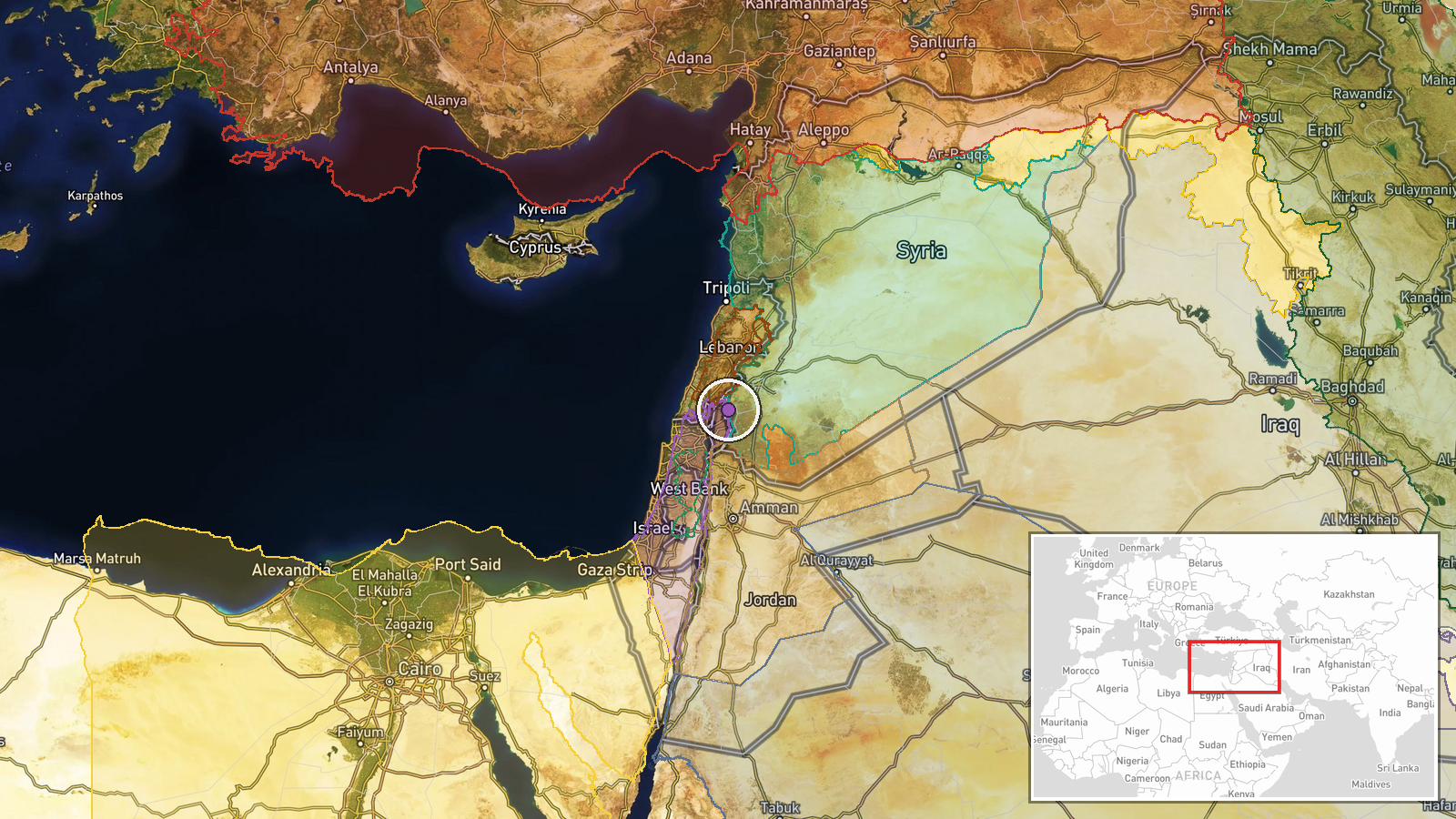
West of Sidaa Al-Hanut village in Quneitra countryside, southern Syria near the Israeli-occupied Golan Heights. The location sits in the wider zone of recent Israeli military activity spanning Quneitra and Daraa provinces. Exact coordinates are approximate (33.21°N, 35.86°E) given the regional-level precision of available reporting.
Related events nearby
- Israeli occupation forces established a temporary checkpoint on the Um Bathneh–Al-Ajraf road in Quneitra count2026-09-21 15:31 UTC · Security · Um Bathneh - Al-Ajraf Road, Quneitra Countryside,
- Israeli occupation forces penetrated Wadi al-Raqad area in western Daraa countryside. Ground advance into Syri2026-09-21 09:42 UTC · Combat · Wadi al-Raqad, Daraa Countryside, Daraa Governorat
- Israeli airstrikes targeted the edges of Abideen village in western Daraa countryside last night, killing mult2026-09-21 14:23 UTC · Airstrike · Abideen, Daraa Countryside, Syria
- Israeli airstrikes from occupied Golan Heights targeted Daba al-Mughr area near Abidin in Yarmouk Basin, weste2026-09-21 07:29 UTC · Airstrike · Daba al-Mughr, Abidin, Yarmouk Basin, Daraa Countr
- Syrian Civil Aviation Authority director announces new landing equipment at Damascus Airport and upcoming Euro2026-09-21 14:52 UTC · Statement · Damascus International Airport, Damascus, Syria
▶ View this event on the live map
Intel Mapper aggregates open-source reports from monitored Telegram and X channels, geolocates them, cross-checks duplicates across sources and assigns a confidence score. Entries are updated as new confirmations arrive. Read how we verify events.