Israeli forces advance into Saida al-Hanoute village in Quneitra with three military vehicles
What happened
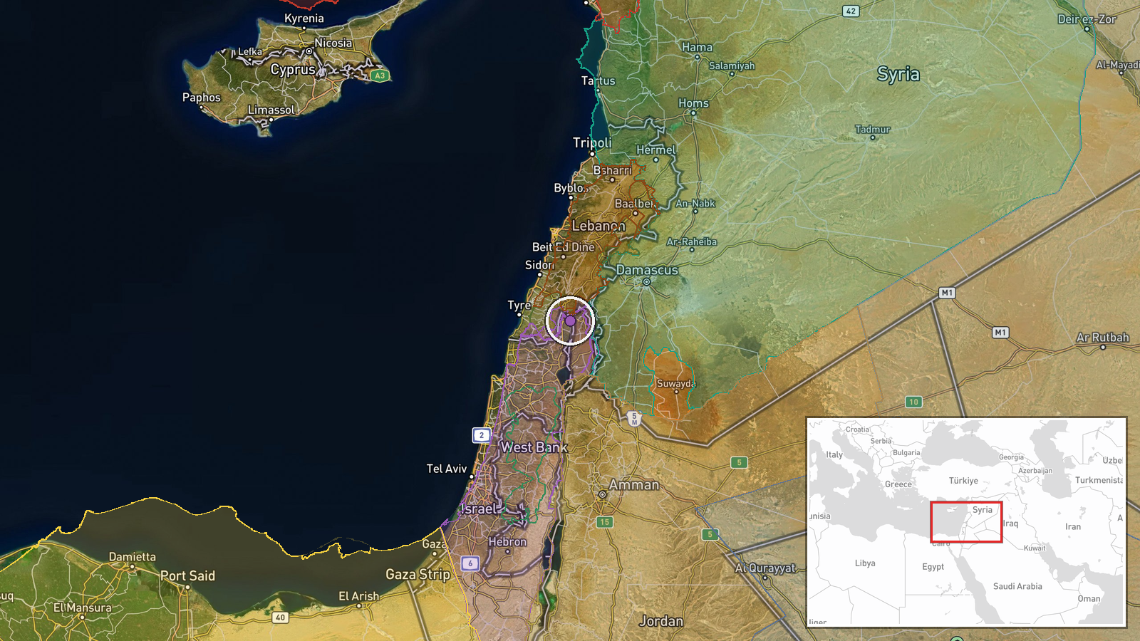
Israeli occupation forces reportedly advanced westward into Saida al-Hanoute village in Quneitra Governorate using three military vehicles, according to a Telegram report on September 22. The advance forms part of ongoing ground operations in southwestern Syria near the Damascus frontline. The report provides no details on tactical objective, duration, or outcomes of the incursion.
Context and assessment
Saida al-Hanoute lies in Quneitra Governorate, a strategic border region between Syria and the Israeli-occupied Golan Heights that has seen sustained Israeli military activity since mid-September 2026. This advance follows a pattern of Israeli operations in the area: a checkpoint was established on the Um Bathneh–Al-Ajraf road on September 21, and forces detained a shepherd west of the same village on the same day. A separate incursion near Al-Rafid occurred on September 22, reportedly close to a UNDOF (UN Disengagement Observer Force) position. The repeated focus on this locality and use of small vehicle formations suggests systematic ground reconnaissance or territorial consolidation rather than episodic strikes.
Sources and confidence
Single source: Telegram channel @AJSyriaNow, which reported the event. No cross-confirmation from independent outlets or alternative channels is noted. Confidence of 7.5/10 reflects the singularity of the source and lack of external verification. Confidence would increase with reports from local witnesses, humanitarian organizations operating in the area, or multiple independent channels.
Location
Saida al-Hanoute is a village in Quneitra Governorate in southwestern Syria, approximately 50 kilometers south of Damascus. The settlement lies within the buffer zone established by the 1974 Disengagement Agreement, near the demarcation line between Syrian and Israeli-controlled territory. GPS coordinates place it on the western edge of the Quneitra countryside.
Related events nearby
- Israeli occupation forces established a temporary checkpoint on the Um Bathneh–Al-Ajraf road in Quneitra count2026-09-21 15:31 UTC · Security · Um Bathneh - Al-Ajraf Road, Quneitra Countryside,
- Israeli drone conducted low-altitude overflight near journalists in Lebanon. No casualties or strikes reported2026-09-22 10:41 UTC · Combat Aircraft · Nabatiyeh Governorate, Lebanon
- Israeli occupation forces detained a shepherd during military operations west of Sidaa Al-Hanut village in Qun2026-09-21 14:58 UTC · Security · West of Sidaa Al-Hanut, Quneitra Countryside, Syri
- Israeli occupation forces advancing near UNDOF position in Al-Rafid village, Quneitra Governorate. Local sourc2026-09-22 06:29 UTC · Combat · Al-Rafid, Quneitra Governorate, Syria
- Israeli airstrikes targeted the edges of Abideen village in western Daraa countryside last night, killing mult2026-09-21 14:23 UTC · Airstrike · Abideen, Daraa Countryside, Syria
▶ View this event on the live map
Intel Mapper aggregates open-source reports from monitored Telegram and X channels, geolocates them, cross-checks duplicates across sources and assigns a confidence score. Entries are updated as new confirmations arrive. Read how we verify events.