Syrian rights group documents 69 deaths from Israeli operations in south Syria
What happened
The Syrian Network for Human Rights has documented 69 Syrian deaths attributed to Israeli occupation forces in southern Syria since the fall of the Assad regime in December 2024. The documentation covers civilian casualties in Daraa Governorate and surrounding areas over a roughly 22-month period through early October 2026. The report was circulated via Telegram on 6 October 2026. The organization did not provide a detailed breakdown of circumstances for individual cases in the announcement.
Context and assessment
Southern Syria has been a focal point of Israeli military activity since the Assad government's collapse, with Israeli forces conducting incursions, artillery strikes, and reconnaissance operations across Daraa and Quneitra Governorates. Related reports from the same date document Israeli tank deployments in al-Dariyat (Daraa countryside), mortar strikes on Tel Ahmar in Quneitra, and Israeli work on military installations along the occupation line. The cumulative toll documented by SNHR suggests a pattern of sustained Israeli military presence and operations in the region, though the organization's report does not specify whether casualties were combatants, civilians, or mixed. Such documentation efforts typically serve to establish a record of alleged violations, though verification of individual cases remains limited.
Sources and confidence
Sourced from Syrian Network for Human Rights via Telegram channel @AJSyriaNow on 6 October 2026. Single-channel reporting with no independent cross-confirmation cited. Confidence of 7.5/10 reflects the credibility of SNHR as an established human rights monitor, balanced against the single source and lack of detailed casualty breakdown. Confidence would increase with verification from additional independent sources or Israeli military statements addressing the claims.
Location
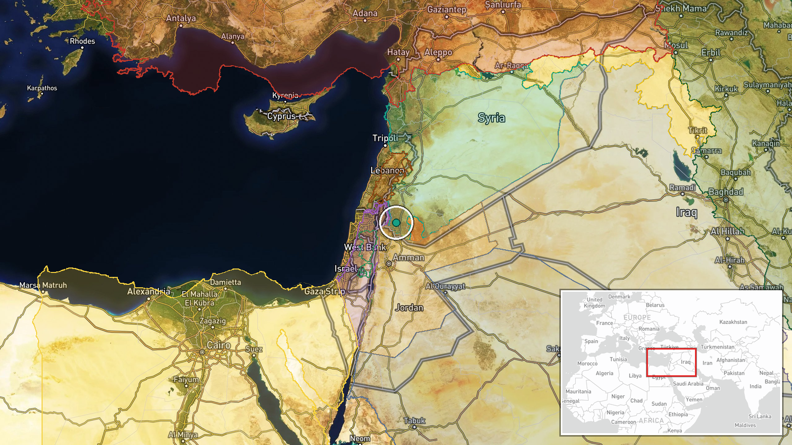
Daraa Governorate in southwestern Syria, approximately 70 km south of Damascus, bordering Jordan and Israeli-occupied territory. The region has been under de facto Israeli military control or influence since Assad's fall. Geo-precision marked as region-level due to documentation covering a wider area rather than specific incident sites. Notable nearby features include the occupied Golan Heights and the Jordanian border.
Related events nearby
- Syrian Network for Human Rights documents at least 69 deaths caused by Israeli forces in southern Syria betwee2026-10-06 17:20 UTC · Report · Southern Syria
- Israeli military tanks and vehicles conducting incursion operations in al-Dariyat area (Daraa countryside). Is2026-10-06 05:32 UTC · Deployment · Daraa Governorate, Syria
- Israeli forces struck the area around Tel Ahmar in eastern Quneitra Governorate with mortar fire, according to2026-10-06 16:42 UTC · Artillery · Tel Ahmar, Quneitra Governorate, Syria
- Analyst at Al-Jazeera Centre for Studies comments on Israeli military resumption of work on Line 'Sofa 53' in 2026-10-06 16:52 UTC · Statement · Quneitra Governorate, Syria
- Arab Parliament President Al-Yamahi condemns continued Israeli violations in Syria, specifically activities on2026-10-06 07:22 UTC · Statement · Quneitra Governorate, Syria
▶ View this event on the live map
Intel Mapper aggregates open-source reports from monitored Telegram and X channels, geolocates them, cross-checks duplicates across sources and assigns a confidence score. Entries are updated as new confirmations arrive. Read how we verify events.