Israeli forces continue military entrenchment work near Al-Rafid in Quneitra
What happened
Israeli occupation forces reportedly continued military trench-digging operations in agricultural land near Al-Rafid village in Quneitra countryside, specifically in the area designated as Sofa Line 53 sector. The report, dated 7 October 2026, describes ongoing engineering work focused on fortification rather than direct military action. The precise scope and duration of these operations are not detailed in available reporting.
Context and assessment
The Sofa Line 53 demarcation marks a contested sector in occupied Syrian territory where Israeli forces maintain a military presence. This entrenchment activity follows related incidents across southern Syria: a mortar strike near Tel Ahmar on 6 October and personnel operations in Jubata Al-Khashab and Wadi al-Raqad. Analysts have characterized such work as consolidation of Israeli military infrastructure in occupied areas. The pattern suggests a shift toward formalizing physical control through permanent engineering works rather than temporary operational presence, consistent with patterns observed since political changes in Syria.
Sources and confidence
Single-source reporting via Telegram channel @AJSyriaNow. No corroborating reports from other channels or international monitoring agencies identified. Confidence score of 7.5 reflects the source's track record but limited cross-confirmation. Additional reporting from ground observers or satellite imagery would strengthen confidence; contradicting accounts or clarification of operational scope would lower it.
Location
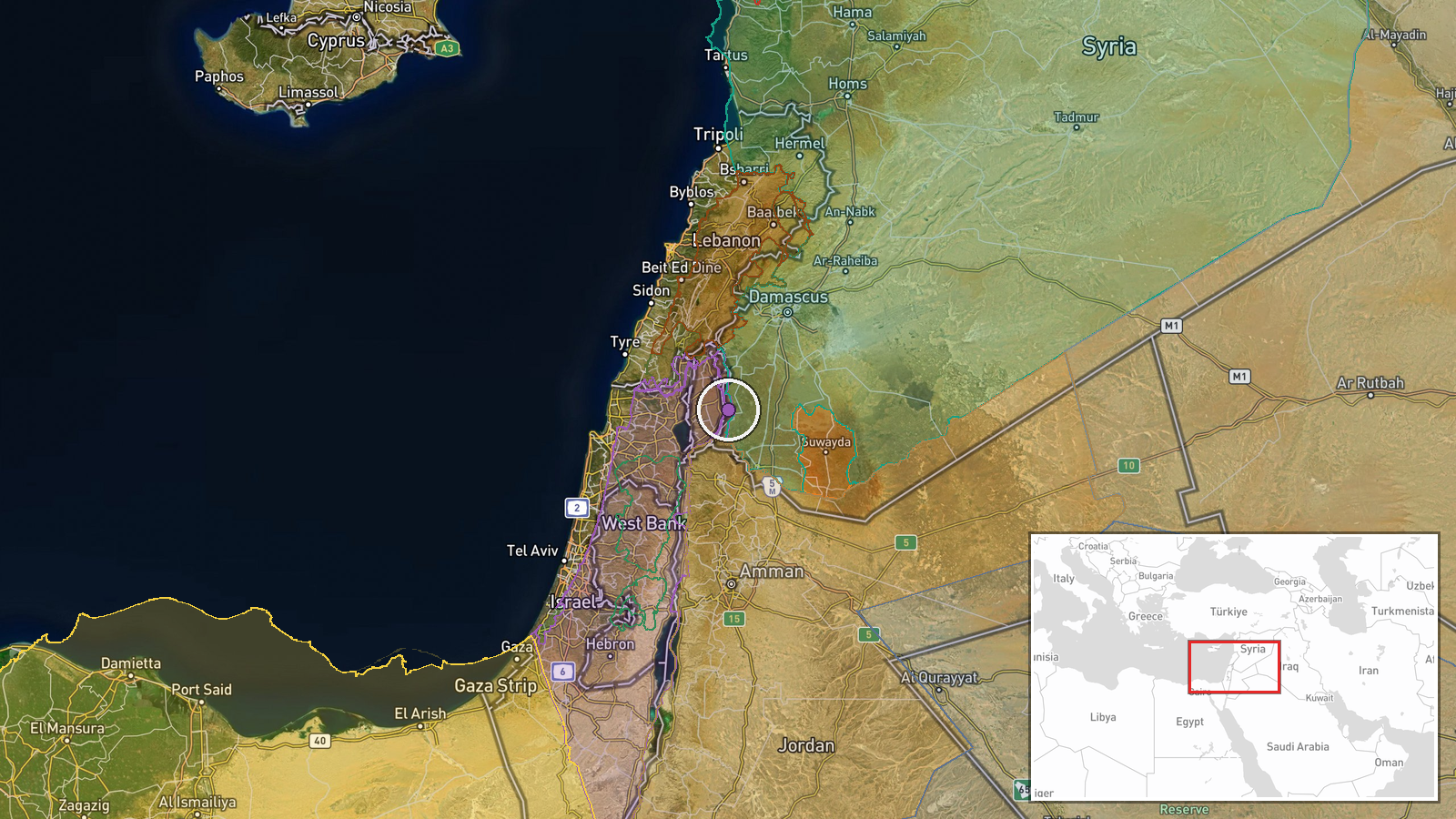
Al-Rafid village lies in Quneitra Governorate's rural countryside, near the Sofa Line 53 sector marking a demarcation in occupied Syrian territory. The location was identified at settlement precision level (latitude 32.9557, longitude 35.9002). The area is characterized by agricultural land in the southern Golan Heights region, a contested zone under Israeli military administration.
Related events nearby
- Israeli forces questioned Bedouin herders during an incursion into Wadi al-Raqad, Daraa Governorate, southern 2026-10-07 11:42 UTC · Security · Wadi al-Raqad, Daraa, Syria
- Syrian Network for Human Rights (SNHR) documents 69 Syrian deaths attributed to Israeli occupation forces in s2026-10-06 20:34 UTC · Report · South Syria, Daraa Governorate, Syria
- Israeli occupation forces shot and detained a young man during incursion into Jubata Al-Khashab village, Qunei2026-10-07 08:28 UTC · Security · Jubata Al-Khashab, Quneitra, Syria
- Israeli occupation forces painted Israeli flag colors on a military position atop Mount Hermon (Jabal al-Sheik2026-10-07 10:50 UTC · Security · Mount Hermon (Jabal al-Sheikh), Quneitra, Syria
- Druze community in As-Suwayda Governorate held a solidarity demonstration with Israel, marking three years sin2026-10-07 13:04 UTC · Statement · As-Suwayda, As-Suwayda Governorate, Syria
▶ View this event on the live map
Intel Mapper aggregates open-source reports from monitored Telegram and X channels, geolocates them, cross-checks duplicates across sources and assigns a confidence score. Entries are updated as new confirmations arrive. Read how we verify events.